Adjara Region
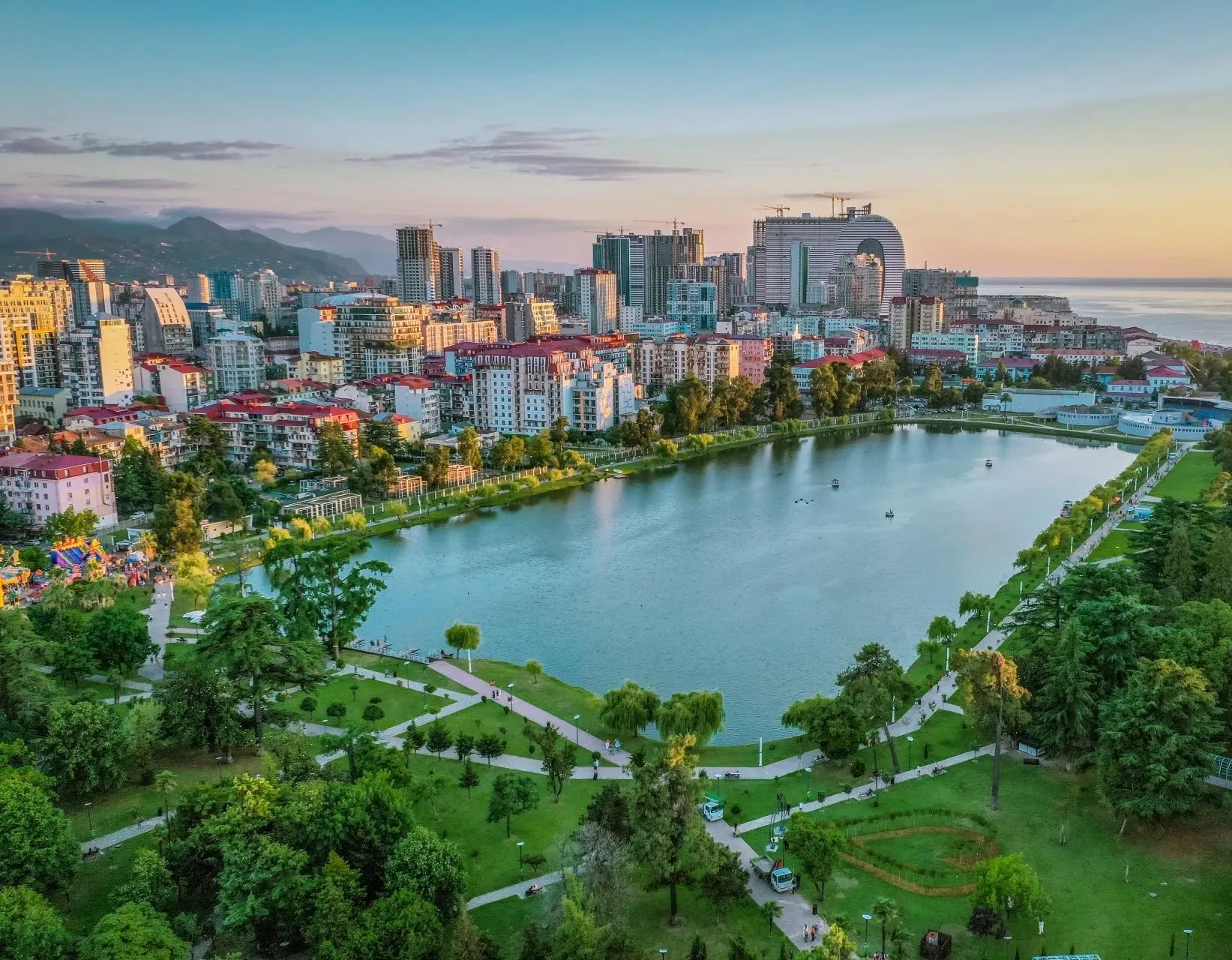
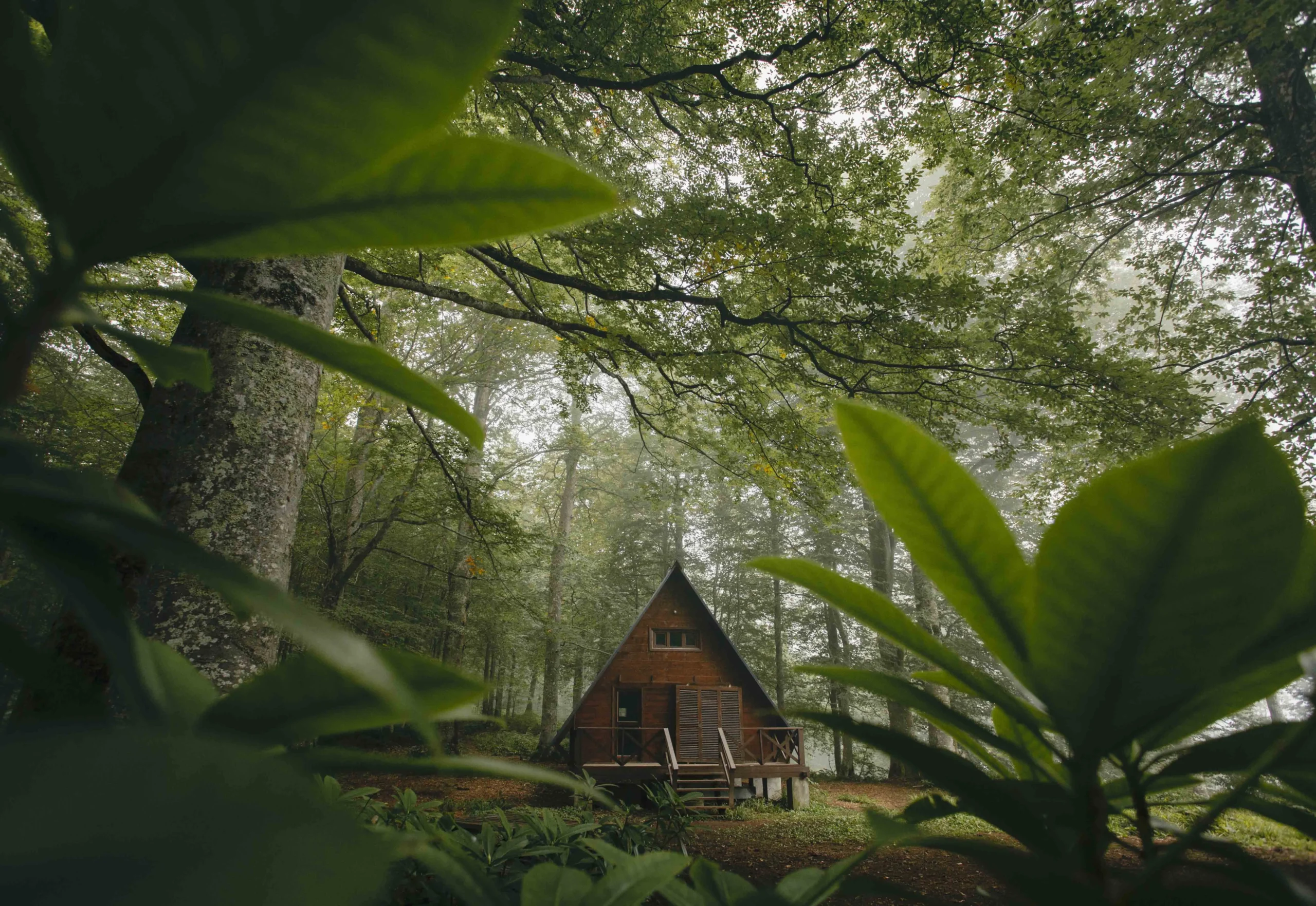
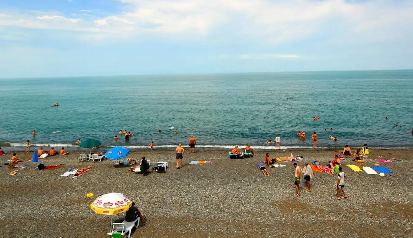
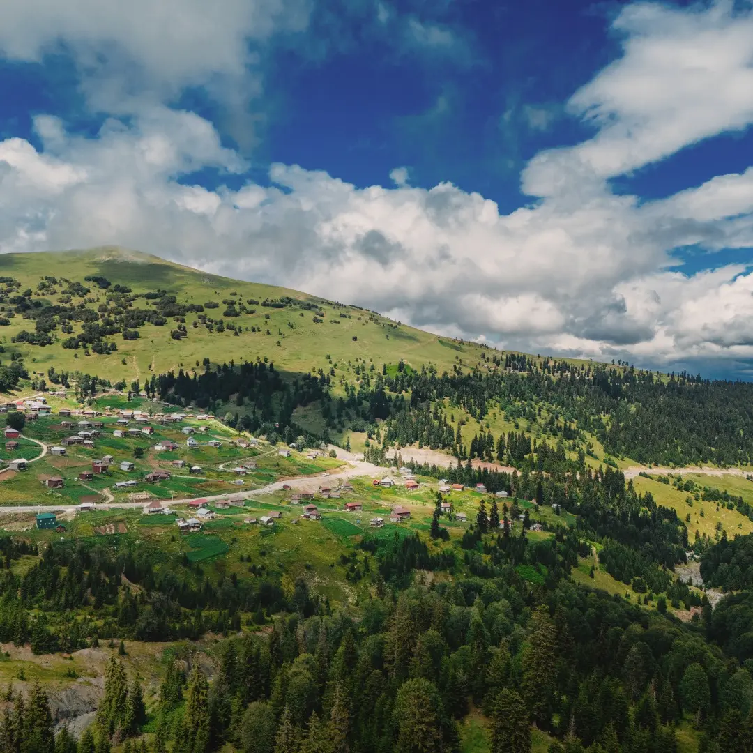
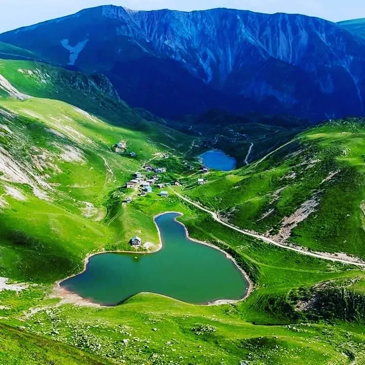
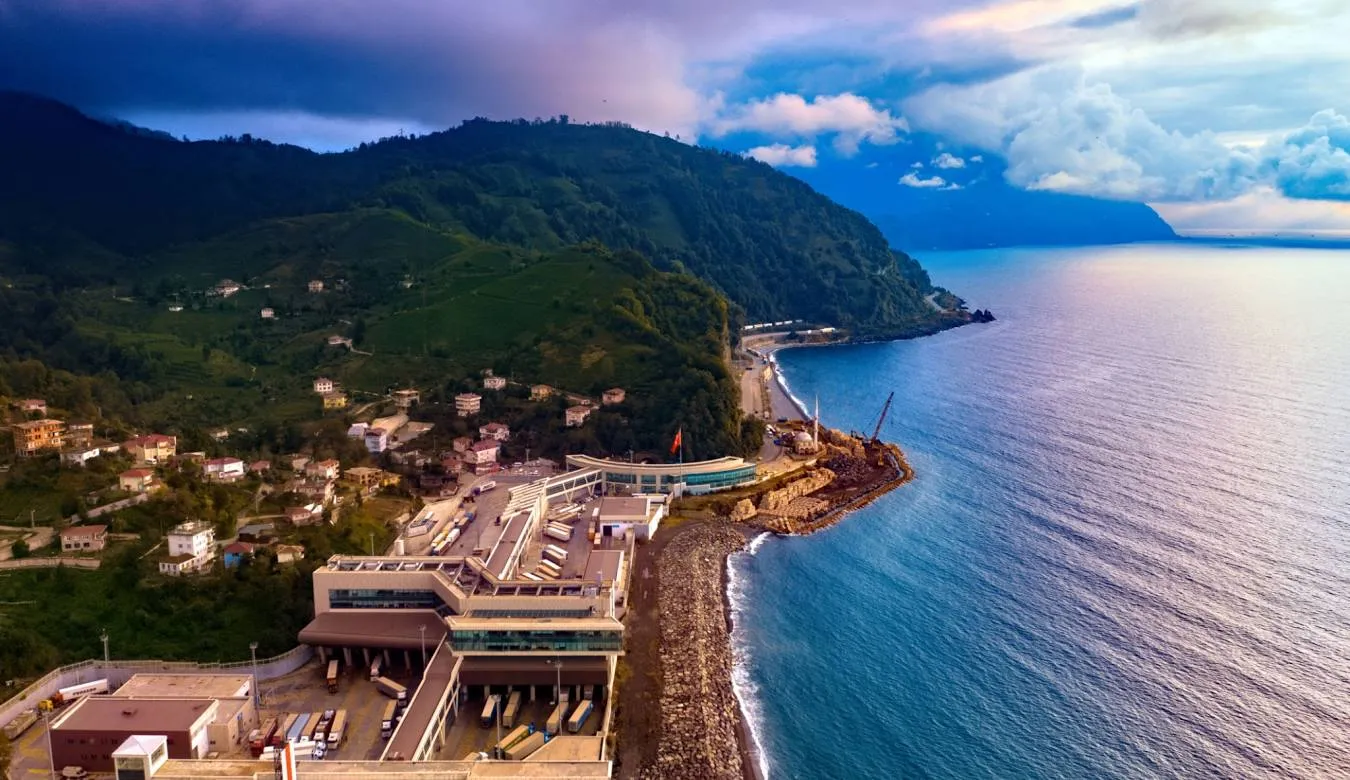
Adjara is a lush coastal region in southwestern Georgia, where the Black Sea meets subtropical hills and high mountains. It’s a place of contrasts – palm-lined boulevards in Batumi, humid tea plantations, waterfalls hidden in dense forests, and cool alpine meadows in places like Gomarduli. The climate is warm and rainy, giving the region its deep green color and fertile land.
Adjara has a distinct cultural layer shaped by centuries of Ottoman influence, visible in local cuisine, wooden mosques, and family traditions. You’ll find spicy dishes, rich dairy, fresh fish, and strong hospitality. Alongside modern seaside architecture, medieval stone bridges and mountain villages quietly preserve older rhythms of life.
It’s one of Georgia’s most diverse regions – coastal, subtropical, mountainous, traditional, and modern all at once.
Kobuleti Municipality
Kobuleti Municipality is located in Adjara. Traces of human life on the territory of the district date back to ancient times, even the Stone Age. Archaeological monuments of the Stone and Bronze Ages, the Antique period and the Middle Ages have been discovered in Kobuleti. The territory of the municipality was part of the historical and geographical region, Guria, Lower Guria. In the 18th century, Batumi and Chakvi were conquered by the Ottomans, and after the Russo-Ottoman War, Lower Guria was also formed into the Shierta and Churuk-Su districts. Churuk-Su was annexed by Russia in 1878 and included in the Batumi Okrug as the Kintrishi district. In 1930, Kobuleti district was created.
Kobuleti Municipality is home to the climatic and balneological resort of Kobuleti, which is visited by many tourists every year. The region also attracts tourists with its beautiful nature and interesting cultural monuments. The untouched nature of the reserves, amazing views and ancient fortresses leave no one indifferent.
Kobuleti National Park
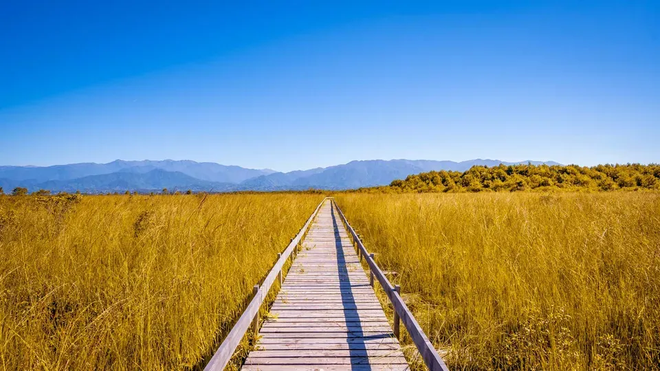
Is located in Adjara, approximately 300 meters north of the city of Kobuleti from the Pichvnari eco-beach.
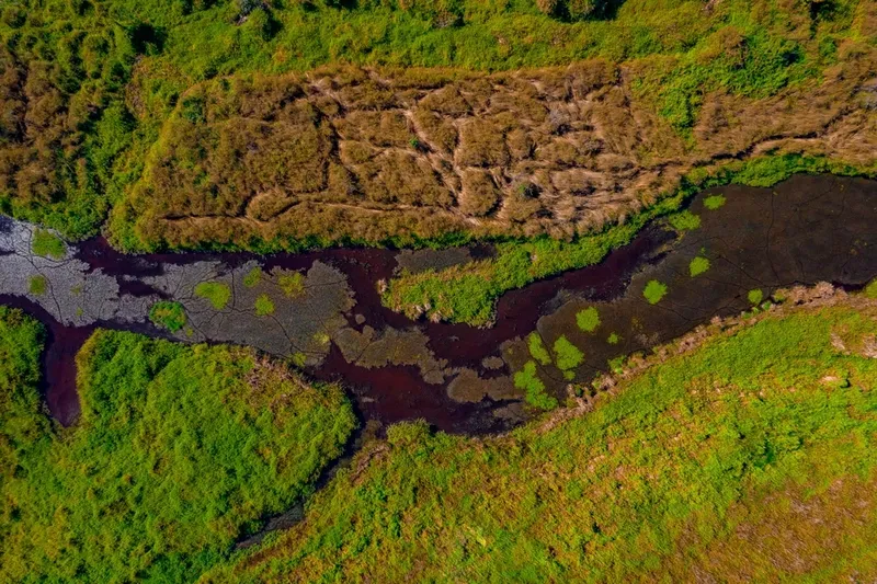
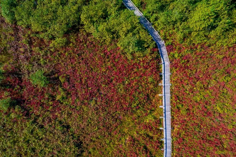
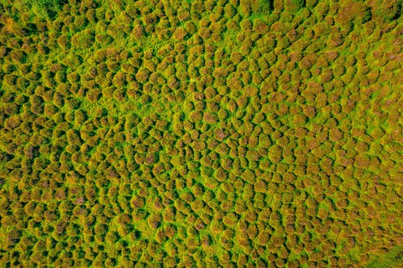
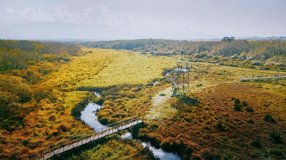
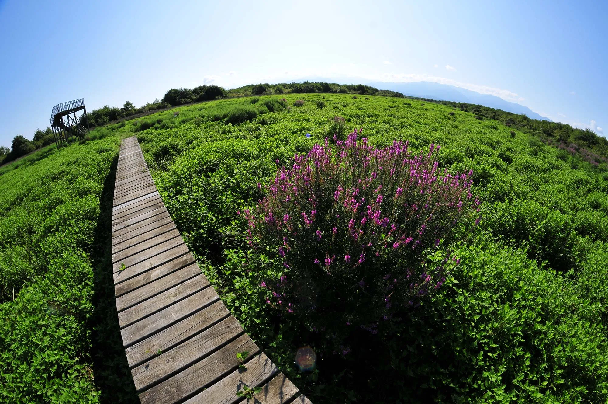
Kobuleti Protected Areas (Kobuleti State Reserve and Protected Areas) were created to preserve unique wetland ecosystems of international importance, especially suitable for waterfowl habitat, as a natural heritage of high value, the status of which is recognized by the Ramsar Convention. These peatlands are located in the Autonomous Republic of Adjara and cover the northeastern part of the Kobuleti coastal plain, and are distinguished by the diversity of waterfowl and plants.
View on map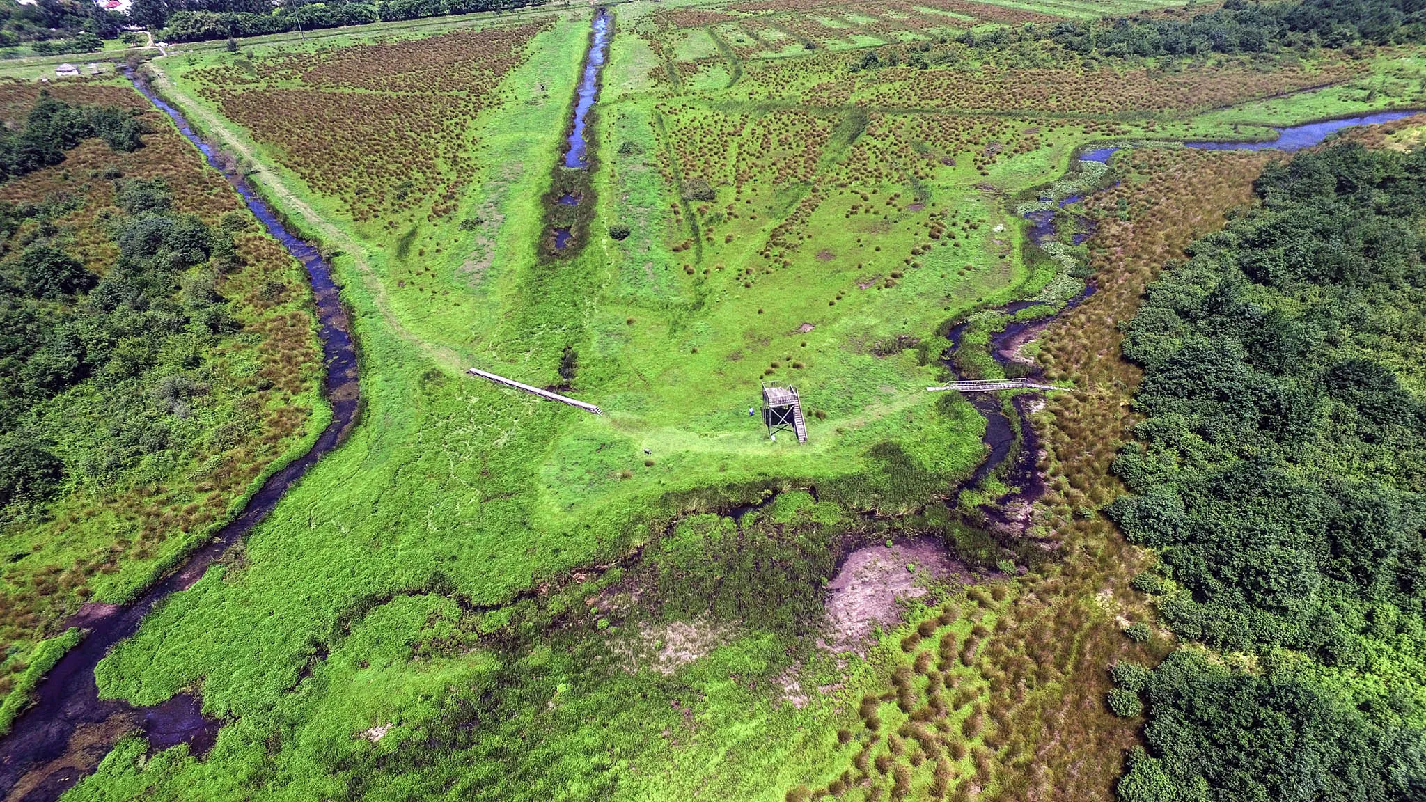
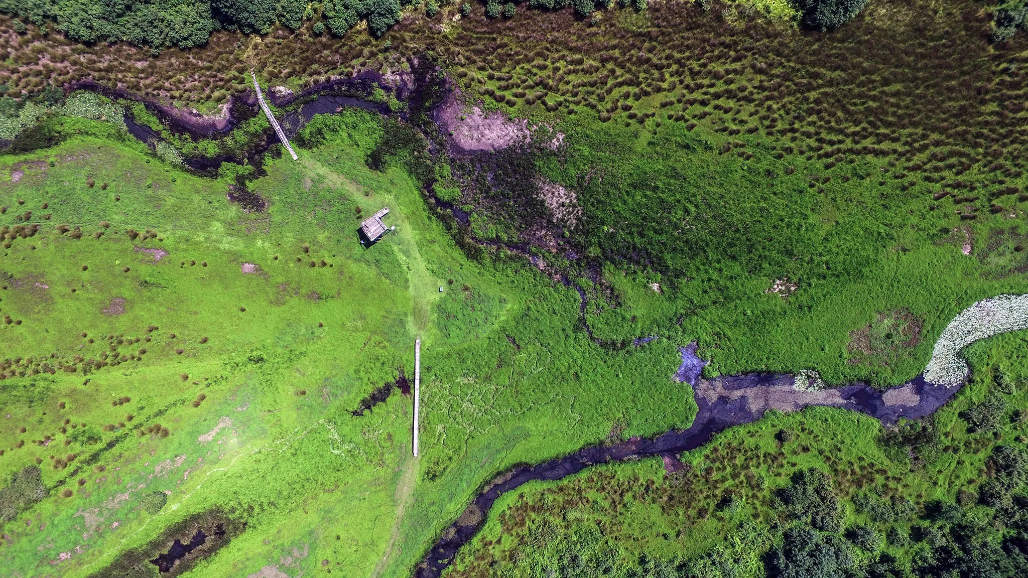
Kintrishi National Park
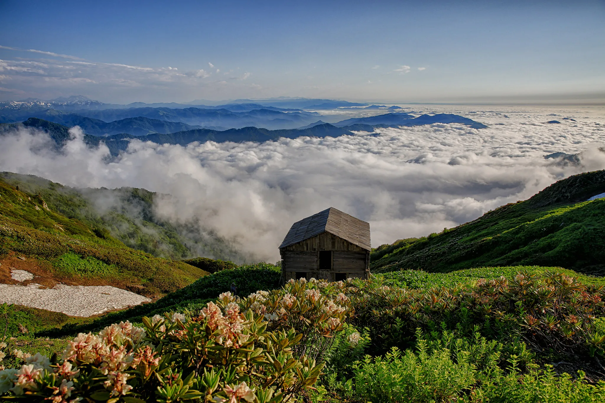
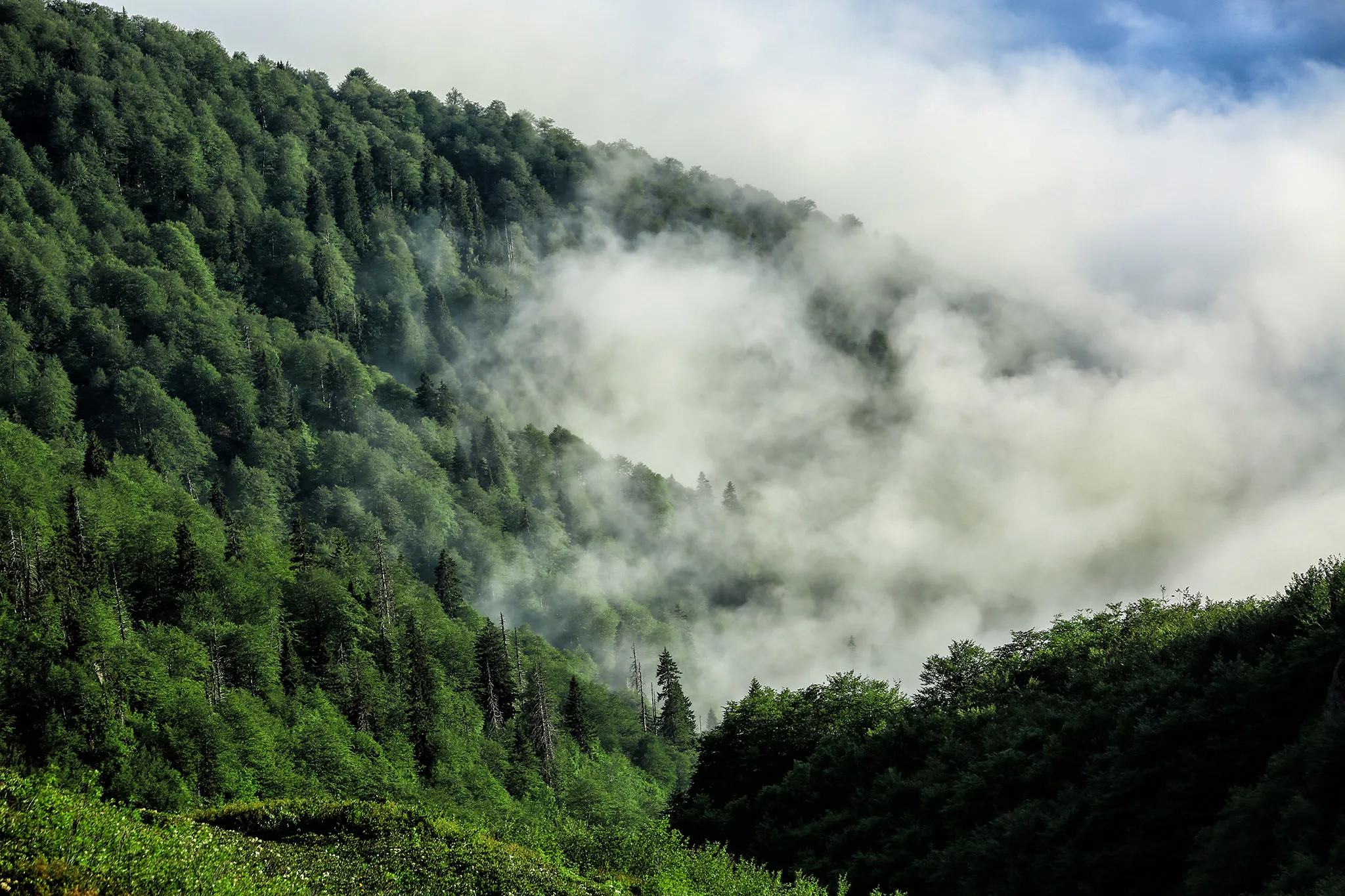
Located in Adjara, in the Kobuleti district, in the beautiful seaside resort of Georgia. It is located in the picturesque valley of the Kintrishi River, between the village of Tskhemvani and the Khino mountains, at an altitude of 300-2500 meters above sea level. Kintrishi State Reserve was established in 1959, the purpose of its establishment was to protect the relict forests of Shuamta and endemic species, flora and fauna.
Kintrishi National Park has a modern, high-level visitor center, where you can get all the necessary information about the territories.
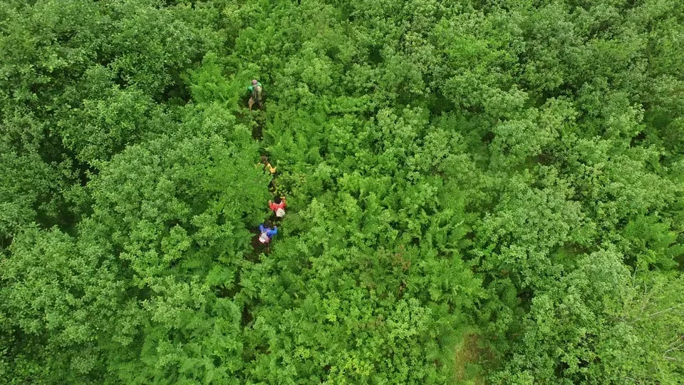
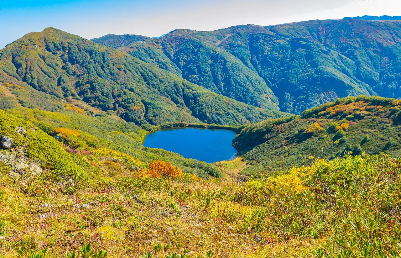
Kintrishi Protected Areas offer visitors 2 marked and well-maintained routes of varying difficulty: the one-day “Tamar Arch Bridge” hiking trail and the two-day “Utkhvari and Lake Tbikeli” hiking and horseback riding trail. Picnic and camping areas are arranged along the route, as well as designated areas for lighting bonfires.
View on map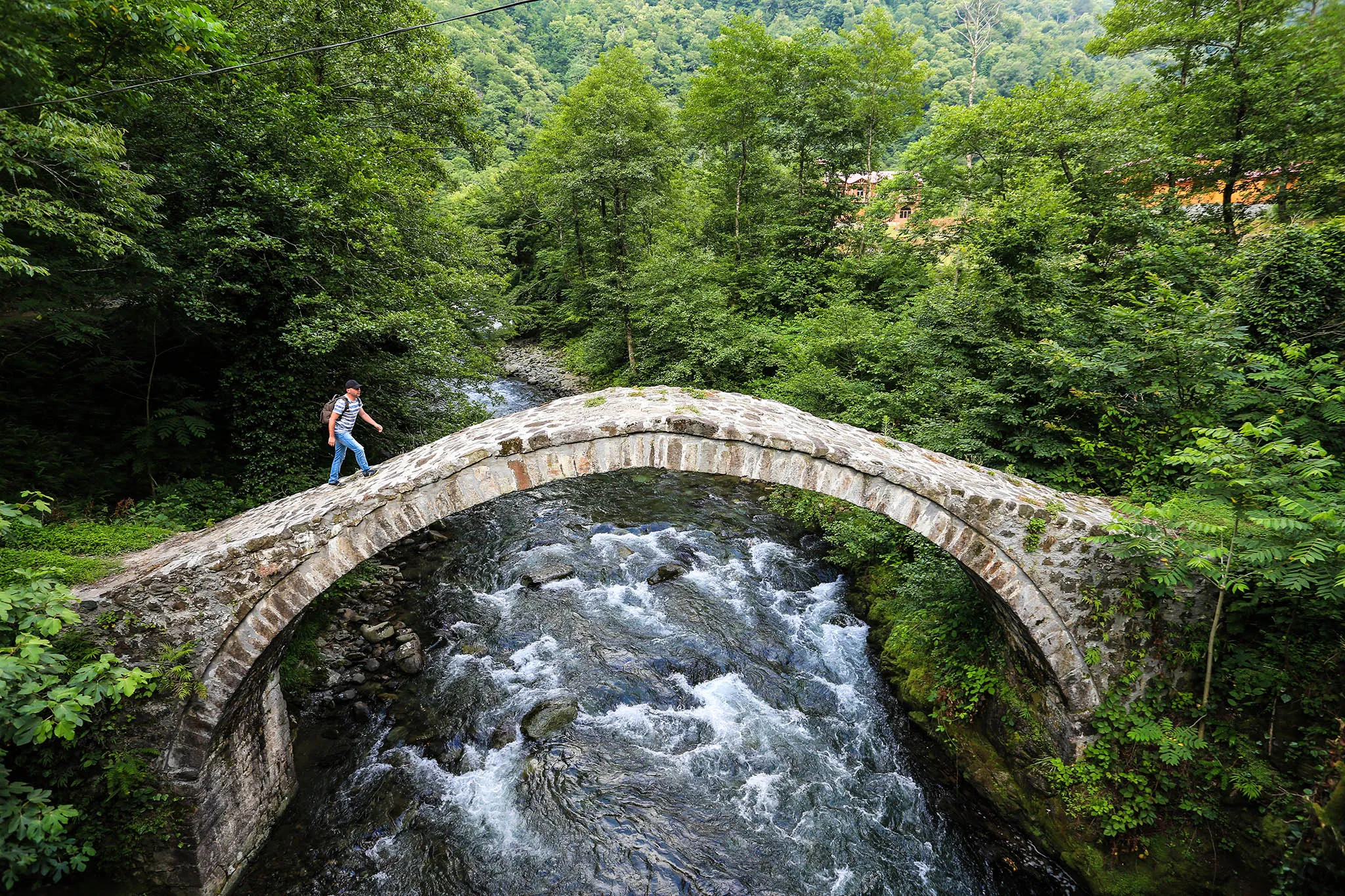
Tamars Arch Bridge
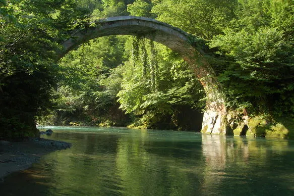
The Tkemakaravi medieval (Tamari) stone bridge is located in Adjara, in the Kintrishi River gorge, on the territory of Kobuleti municipality, in the village of Tkemakaravi. It is often referred to as the Kobalauri or Varjanuli bridge.
View on map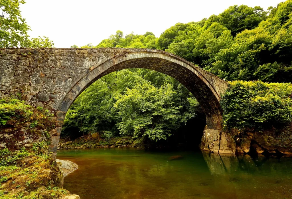

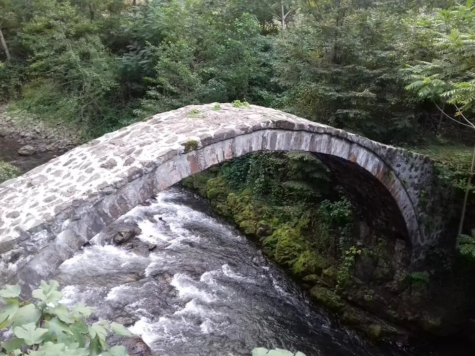
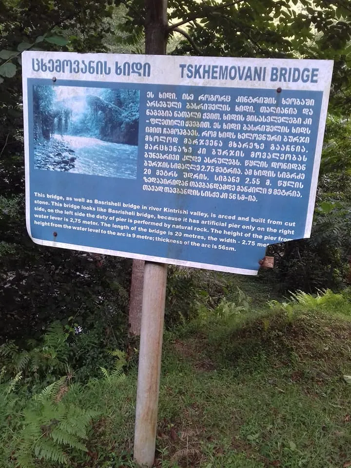
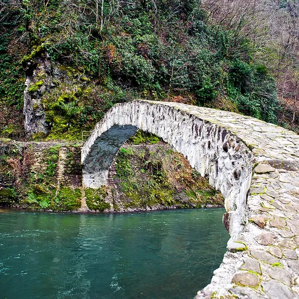
The Tskhemvani Bridge is located in Adjara, in the Kobuleti municipality, in the Kintrishi Gorge. It dates back to the 9th-10th centuries. The bridge is 20 meters long and 2.55 meters wide. Its right side rests on an artificial pier, and the left side on a natural rock. The Tskhemvani Bridge, like other bridges in the Kintrishi Gorge, is arched. The construction of the bridge began with stones taken from the river banks, and the arch is built of hewn stone. The bridge has been restored, and in 2012 it underwent rehabilitation works.

Tsikhisdziri
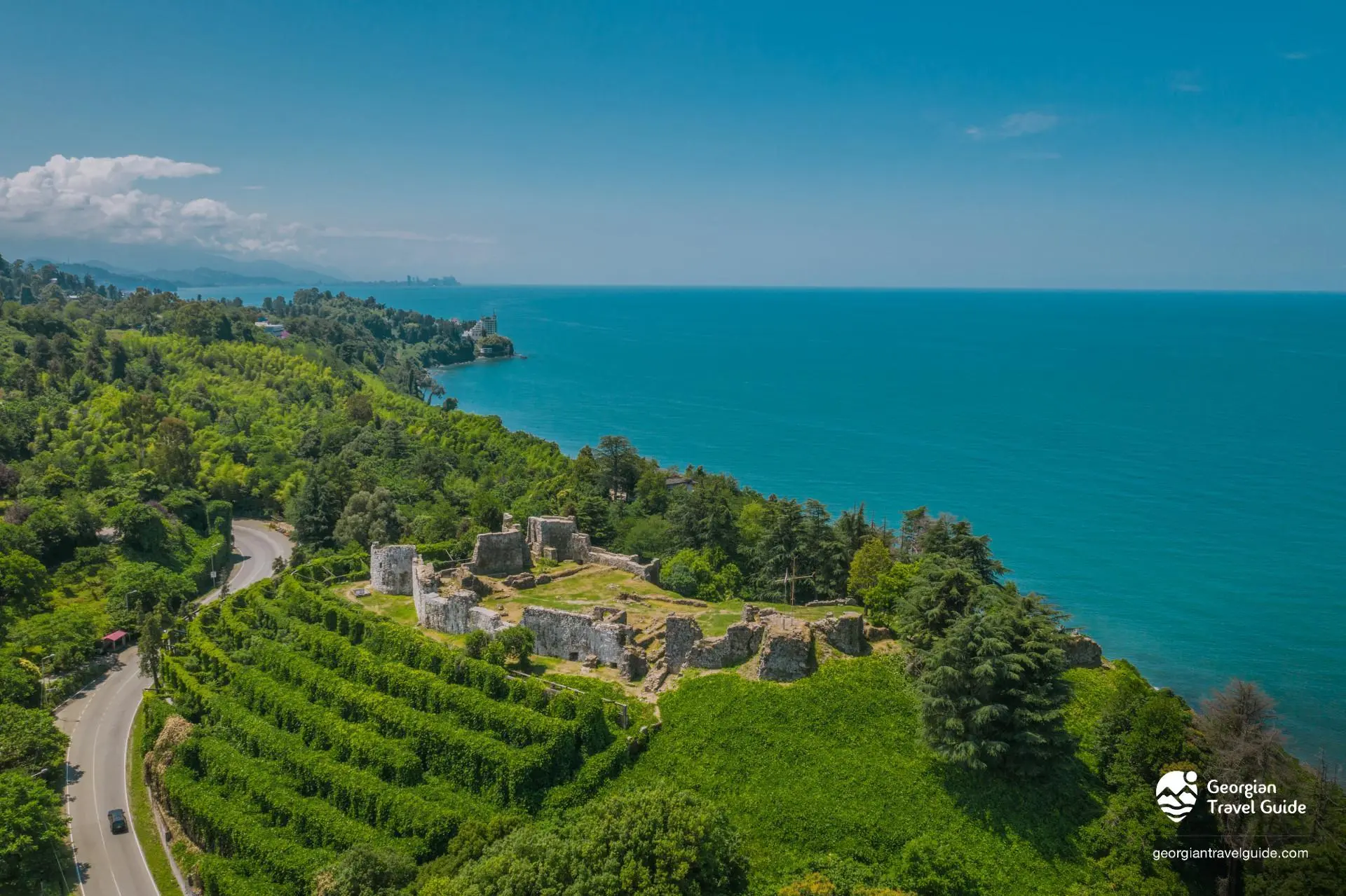
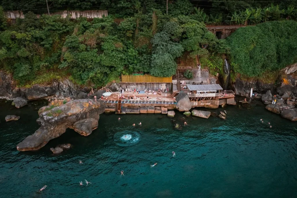
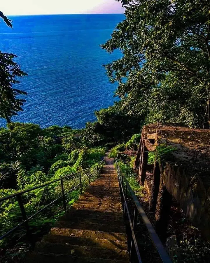
The resort of Tsikhisdziri is located in Adjara, in the Kobuleti municipality, on the Black Sea coast, 60-90 meters above sea level. It is distinguished by its unique climate, where the sea and mountain climates merge and are cooler in summer than in Batumi and Kobuleti, and warmer in winter. In Tsikhisdziri, you will enjoy the green coast and amazing views of the endless sea. Well-equipped beaches, beautiful gardens, comfortable hotels, cafe-bars and restaurants will create an ideal environment for a wonderful and unforgettable vacation. In addition to nature and entertainment venues, Tsikhisdziri is also an interesting place from a cultural and historical point of view. This territory has been inhabited since ancient times, and a historical fortress-city of the Egrisi kingdom was built here. The main attraction of Tsikhisdziri is Petra Fortress, which attracts many tourists.

Petra Fortress
A historical fortress-city in Adjara, Kobuleti Municipality, on the territory of the village of Tsikhisdziri. The fortress was built by John Strategos in 535. “Petra” is the Byzantine name of this fortress-city, and “Kajeti Fortress” is Georgian. It is assumed that this fortress is mentioned in “Vepkhistkaosani”. The fortress-city is located on the Black Sea coast, 440 meters above sea level, 9 km from Kobuleti.
The fortress-city of Petra was located on a rocky hill by the sea, and from the land side it was protected by a rocky relief in addition to a wall (hence its Greek name “petra” – stone, rock). Petra was considered an impregnable fortress. Its ruins have survived to this day.
The archaeological complex includes a citadel. The outer city and the settlement. The citadel contains the ruins of a palace, an ancient bathhouse, farm and soldiers’ quarters, as well as the foundations of a basilica from the 6th-7th centuries, which is the remains of the Episcopal Cathedral of Petra.
View on map
Chakvi
The resort of Chakvi is located in Adjara, in the Kobuleti municipality, on the Black Sea coast, on the banks of the Chakvistskali River, 30 meters above sea level. It is completely surrounded by the Mtirala National Park, which gives this place a unique charm. The lush coastline, beautiful sea views, well-equipped beaches, comfortable hotels and cafe-bars attract many locals and tourists. Chakvi is one of the perfect places for lovers of sunny beaches. The Mtirala National Park Information Center is located in Chakvi, where visitors can get information about the national park.
View on map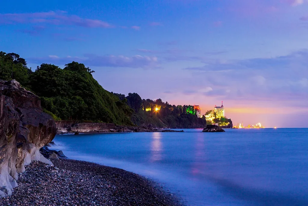

Zeniti Stone Wine Press
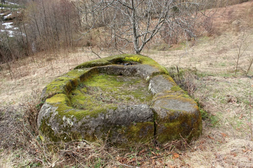
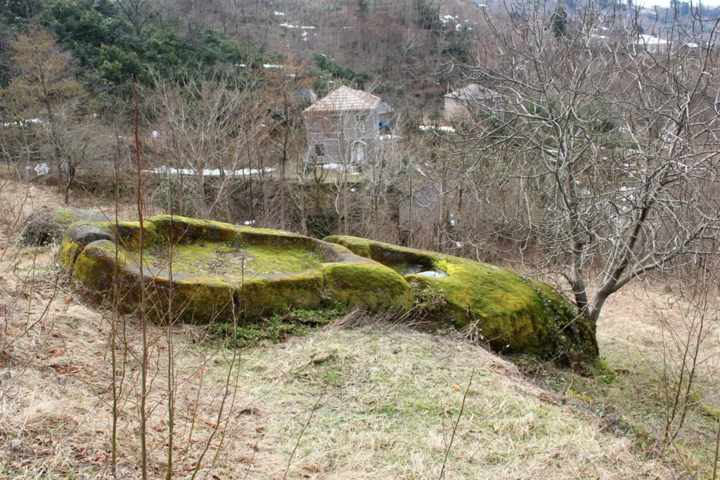
Is located in Adjara, in the village of Zeniti, Kobuleti Municipality. The monolithic stone wine press of the village of Zeniti, adjacent to the Mtirala National Park, is a monument of the Greek era and dates back to the 3rd century BC. The latter is a monolithic stone wine press 8 m long and 3 m wide, where the osinari / levers and the press were placed. The Zeniti wine press is large in size, which confirms the centuries-old traditions of viticulture and winemaking in the region. The development of viticulture in the Chakvistskali Gorge is also evidenced by the ruins of ancient wine cellars preserved in almost every village located here.
View on map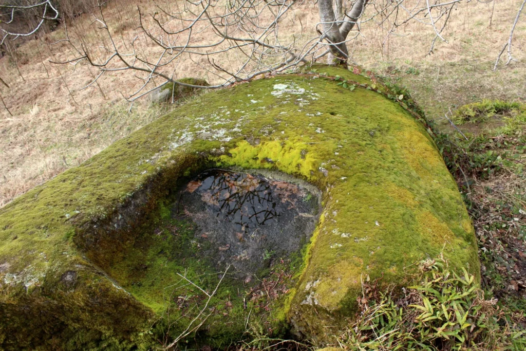
Khelvachauri Municipality
Khelvachauri Municipality is located in the extreme south-west of Georgia, in Adjara. Its administrative center is the Khelvachauri settlement, which is located in the city of Batumi. In 2009–2011, the territory of the municipality was significantly reduced due to the expansion of the borders of the city of Batumi. About ten villages of the Khelvachauri municipality, the Makhinjauri settlement and the Khelvachauri settlement were transferred to Batumi.
Khelvachauri is a very beautiful region, rich in natural resources and historical and cultural monuments. Here you will find historical fortresses, temples and beautiful, arched bridges, which are very common in Adjara.
Mtirala National Park
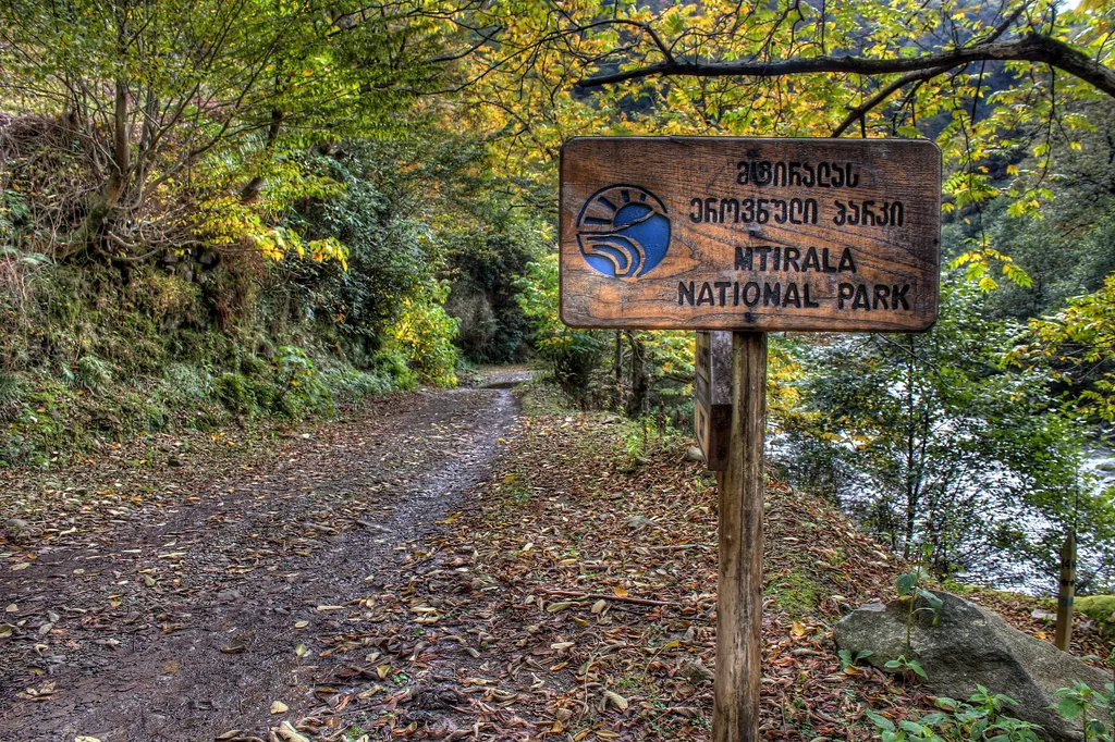
Is a national park in Adjara, between the municipalities of Kobuleti, Khelvachauri and Keda. The administrative building is located in the town of Chakvi, and the visitor center is in the village of Chakvistavi (15 km from Chakvi).
The mountain of the same name, on which the park is located, rises 1761 meters above sea level. This place is considered the wettest place not only in Georgia, but also in Europe, as rain and thick fog are its frequent guests. It is for this reason that the mountain was named “Mtirala”.
The territory of Mtirala National Park is rich in flora and fauna. Forest vegetation is widespread, represented by chestnut groves, beech groves and mixed forests of the Colchian type. You can also find rare, endemic species of Adjara-Lazeti here.
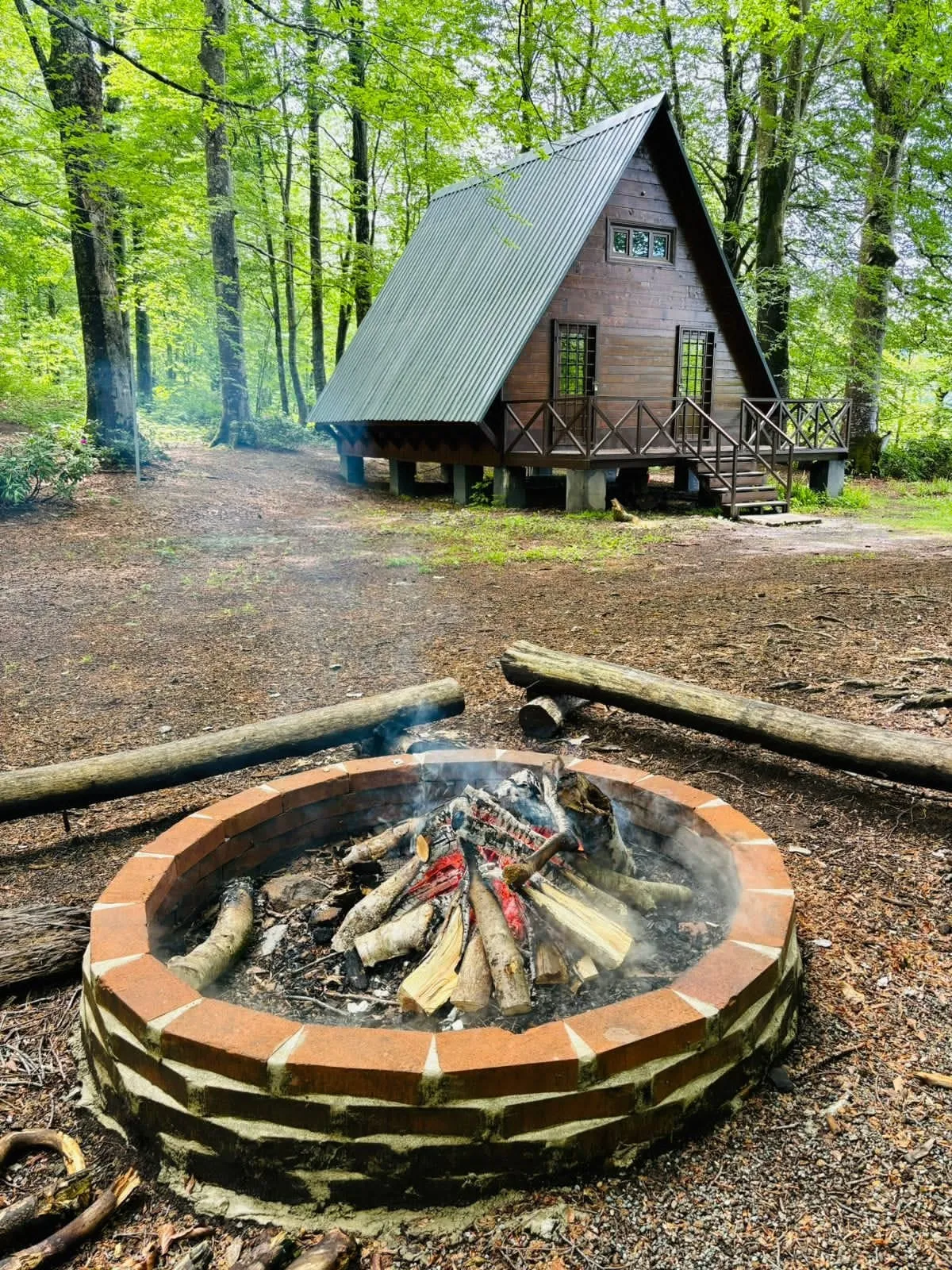
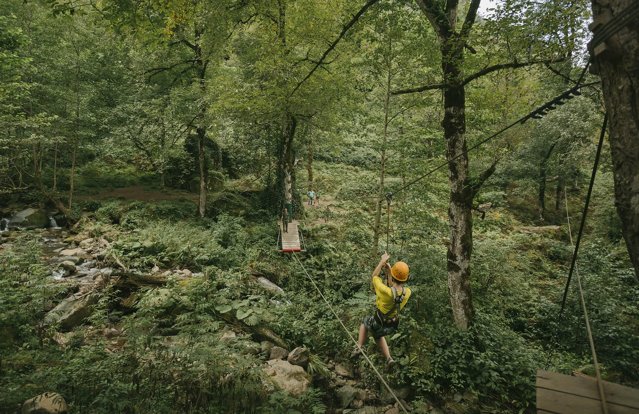
Mtirala National Park offers one- and two-day tourist routes. The trails are marked and well-maintained. There are picnic and camping areas, designated areas for lighting bonfires, and at the 9th km of the trail there is the Mtirala Tourist Shelter, where you can spend the night. The national park offers visitors hiking, horseback riding, scientific and eco-tours.
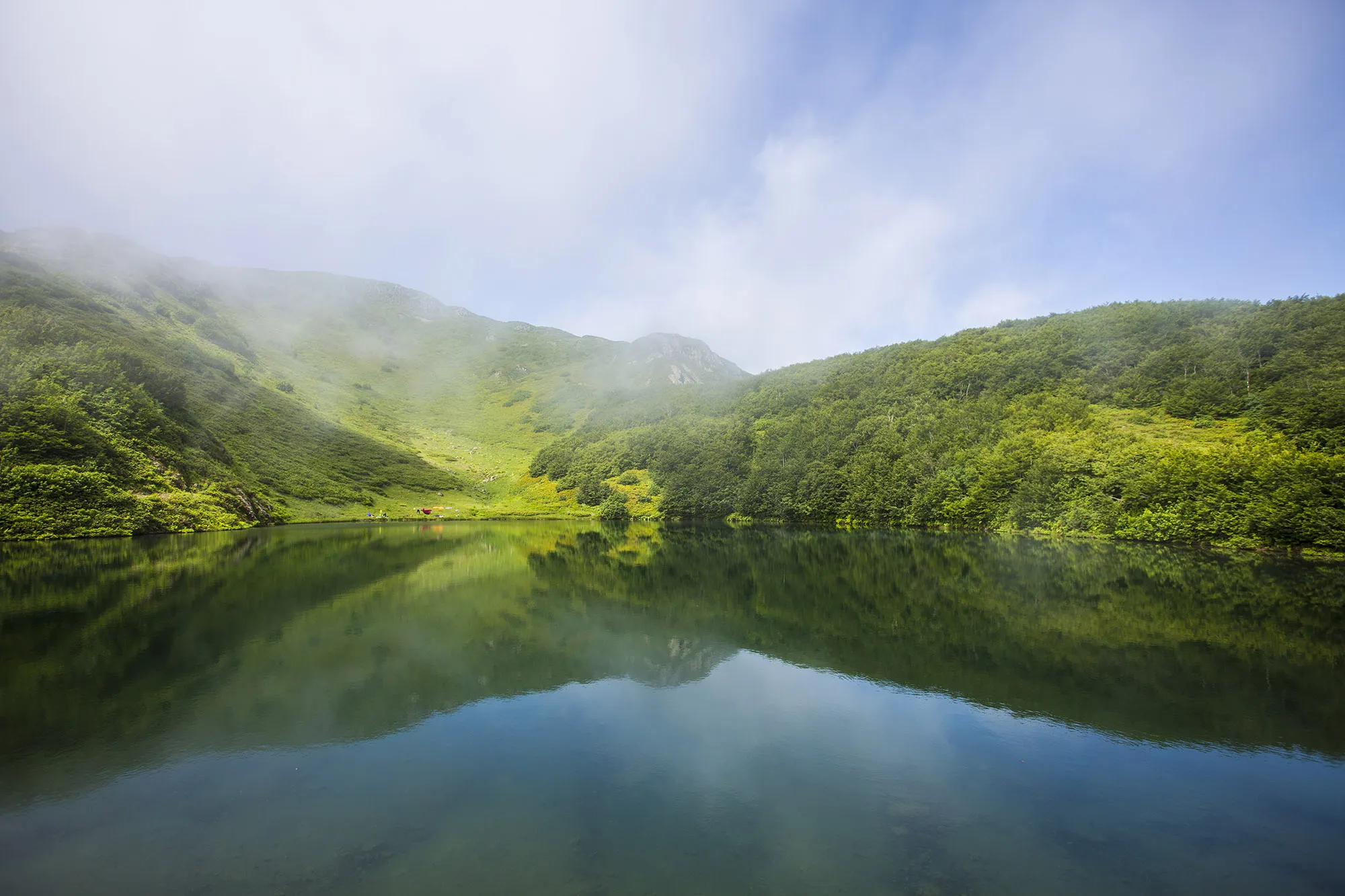
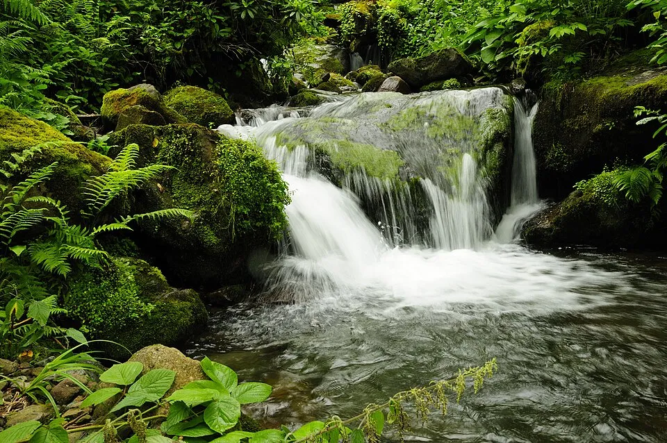
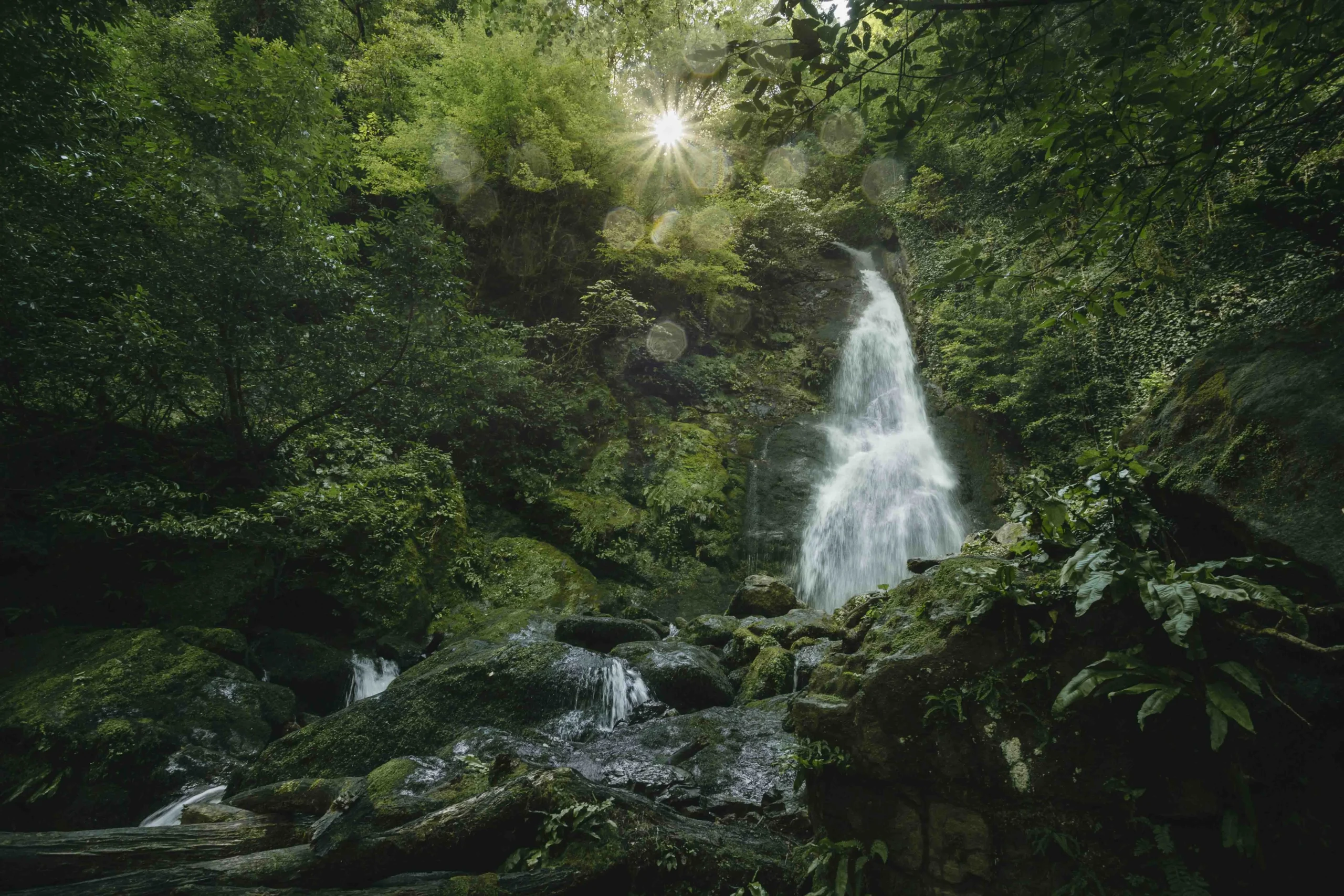
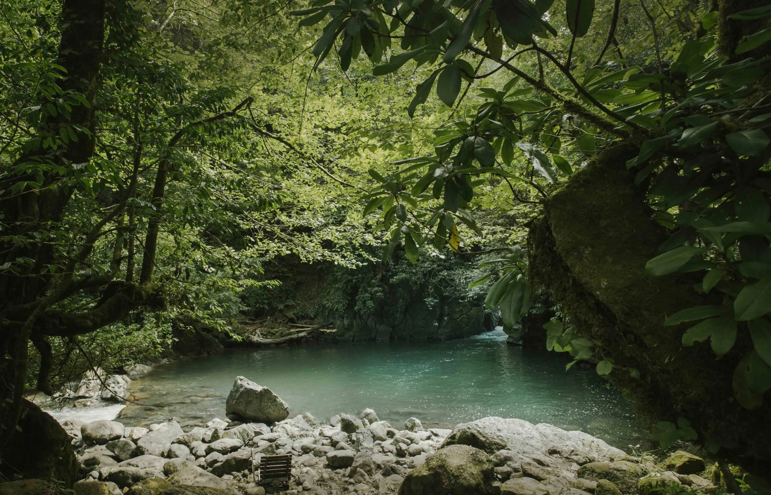
Mtirala also has its own attractions that are worth visiting. A beautiful mountain lake and the Tsablnari waterfall.
Museum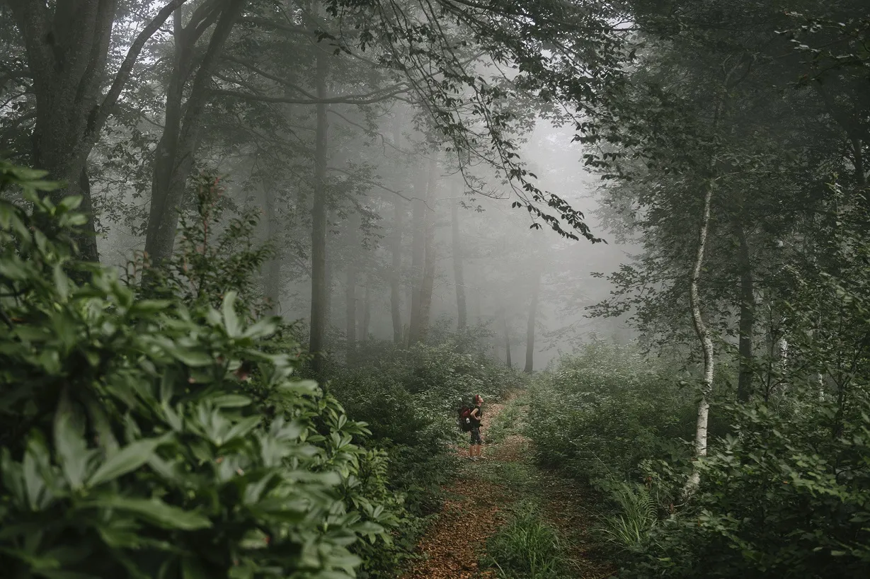
Machakhela National Park
Machakhela National Park is a national park in Adjara, Khelvachauri Municipality, in the Machakhelistskali River Gorge, at an altitude of 300 – 350 meters above sea level. The administrative and visitor center is located in the center of the village of Adjarasagharti, Khelvachauri Municipality.
The park was established in 2012 with the aim of preserving unique biological and landscape biodiversity, long-term protection of the Colchian forest ecosystem, ensuring ecological safety and the development of tourist and recreational activities in a natural environment.
The territory of the national park is represented by coniferous forests scattered on the slopes of the Machakhela River, where almost the entire area is covered with chestnut, beech, hornbeam and alder forests.
In the vicinity of Machakhela National Park, cultural and historical monuments of tourist interest include: arched bridges, fortresses, whitewashed wine presses and cellars from various periods.
There are three hiking trails in the park, integrated with the road:
- Archangel’s Trail – the length of this trail is approximately four kilometers. You will walk this distance through the Machakhela Gorge, through Colchis, beech and chestnut forests and reach Mount Archangel’s, the so-called viewpoint, from where you can see how the Chorokhi River joins the Black Sea, Batumi and the villages scattered on the Kedi, Shuakhevi and Khulo mountains. As they say here, from this place the whole of Adjara is at your fingertips. The Archangel’s Trail can also be traveled by car, the length of the road is 8 km.
- Kokoleti Trail – This route is 15 kilometers from the visitor center. It can be climbed on foot or by off-road [4X4] vehicle. From the highest point of the trail, you can see the five villages of Upper Machakhela, which are now in Turkish territory. “You can see five ravines that form the shape of a wrist and a hand, and they say that the origin of the name is related to this circumstance – “Maja-khela”, or Machakhela. This is also a historical trail,” the administration says.
- Twin Waterfalls Trail – This trail starts from the visitor center in the village of Adjarisaghmarti. It follows an asphalt road and leads to the village of Kokoleti, from where a hiking trail descends to the Twin Waterfalls. 700 meters from the beginning of the trail, in a gorge, two waterfalls cascade from a height of about 47 meters. There are mixed, deciduous and coniferous forests around.
There is a path leading to the waterfall, which anyone can walk on. At the end of the path, there is a picnic area.
There are several more waterfalls in the canyon, although there are no paths to them yet.
Before starting the tour on the Kokoleti Trail, it is necessary to make an agreement with the Machakhela National Park administration 5 working days in advance to obtain a permit, as this is a border area.
View on map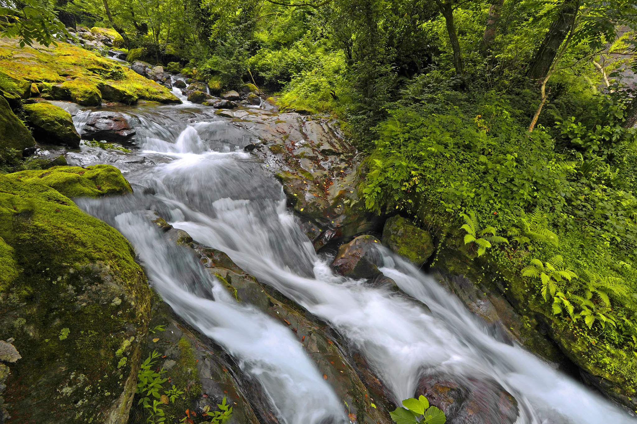
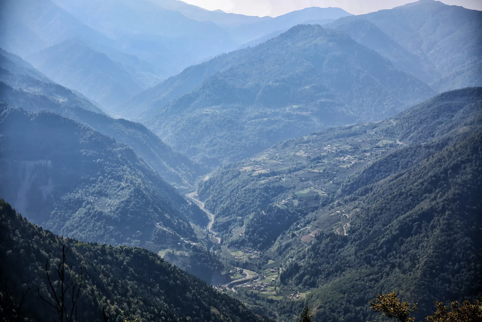
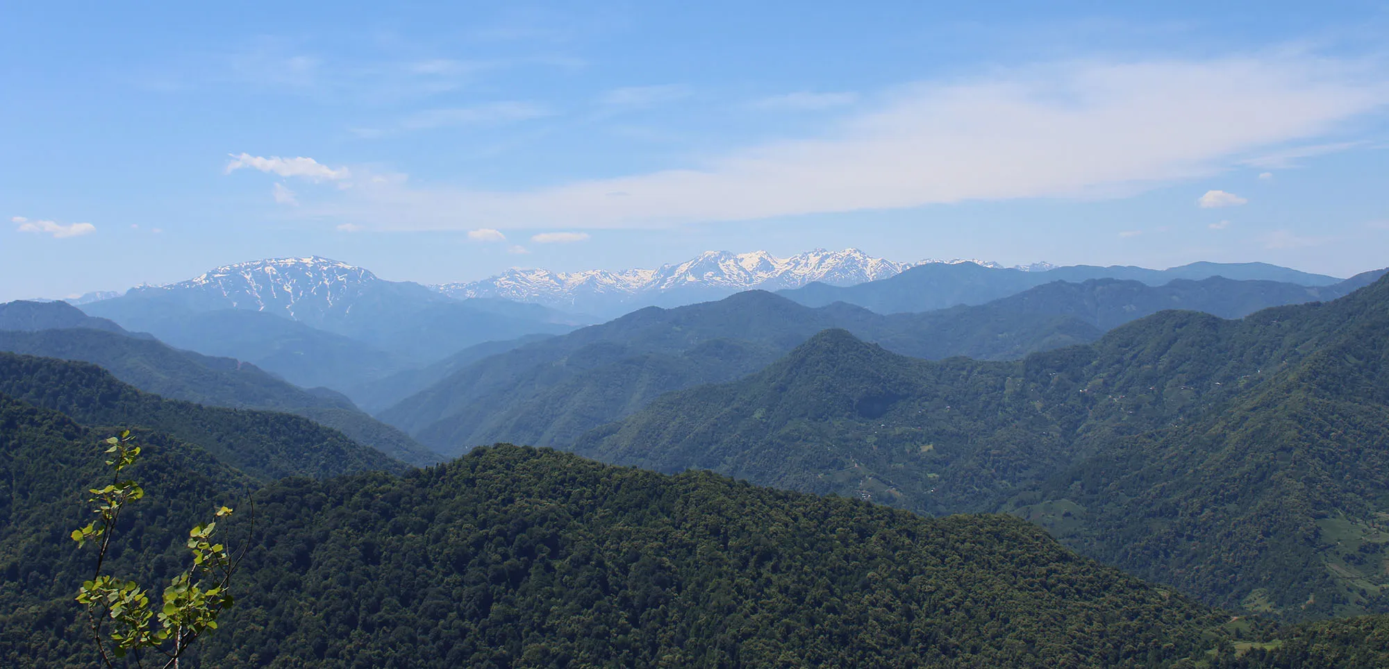
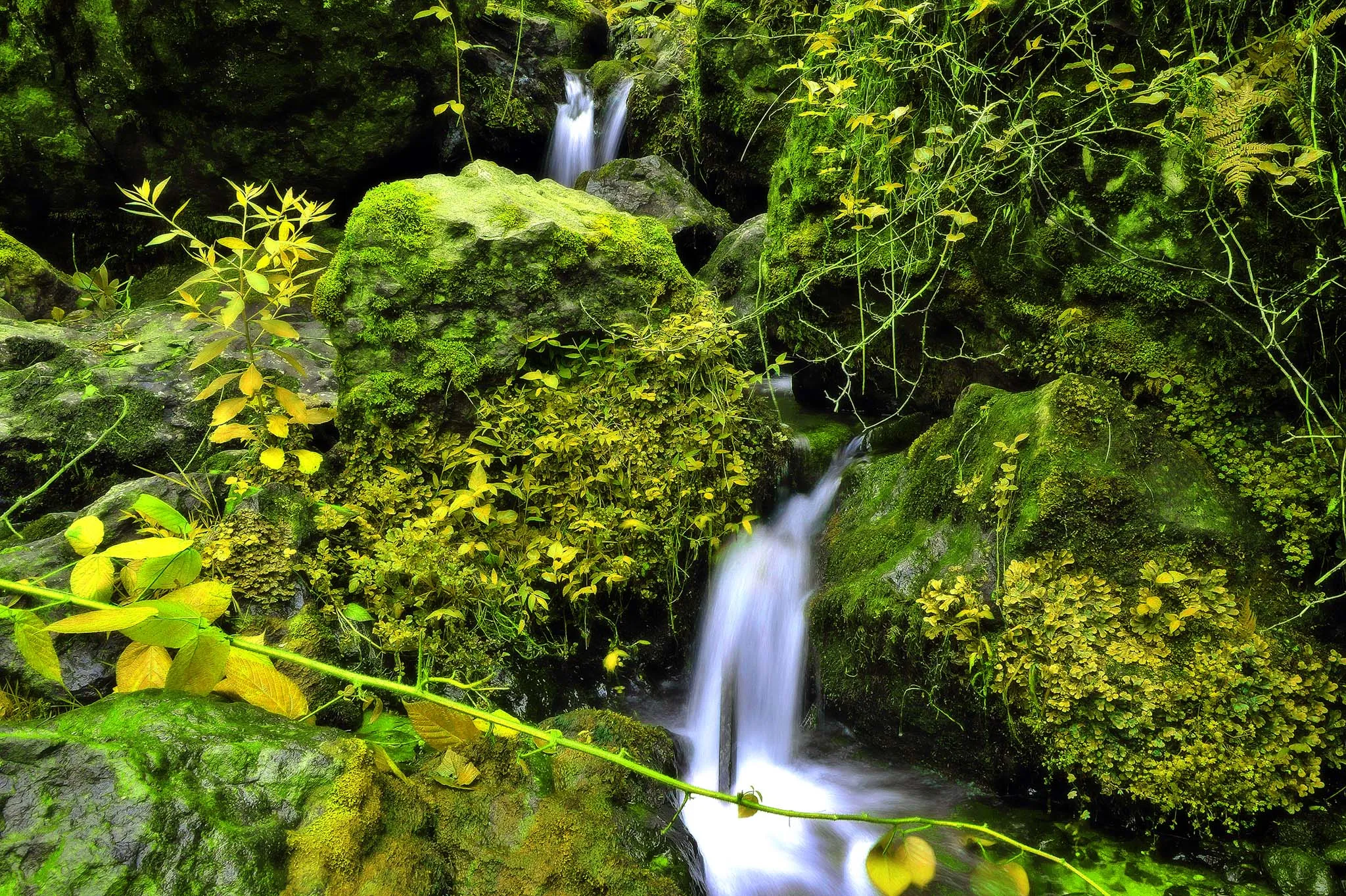
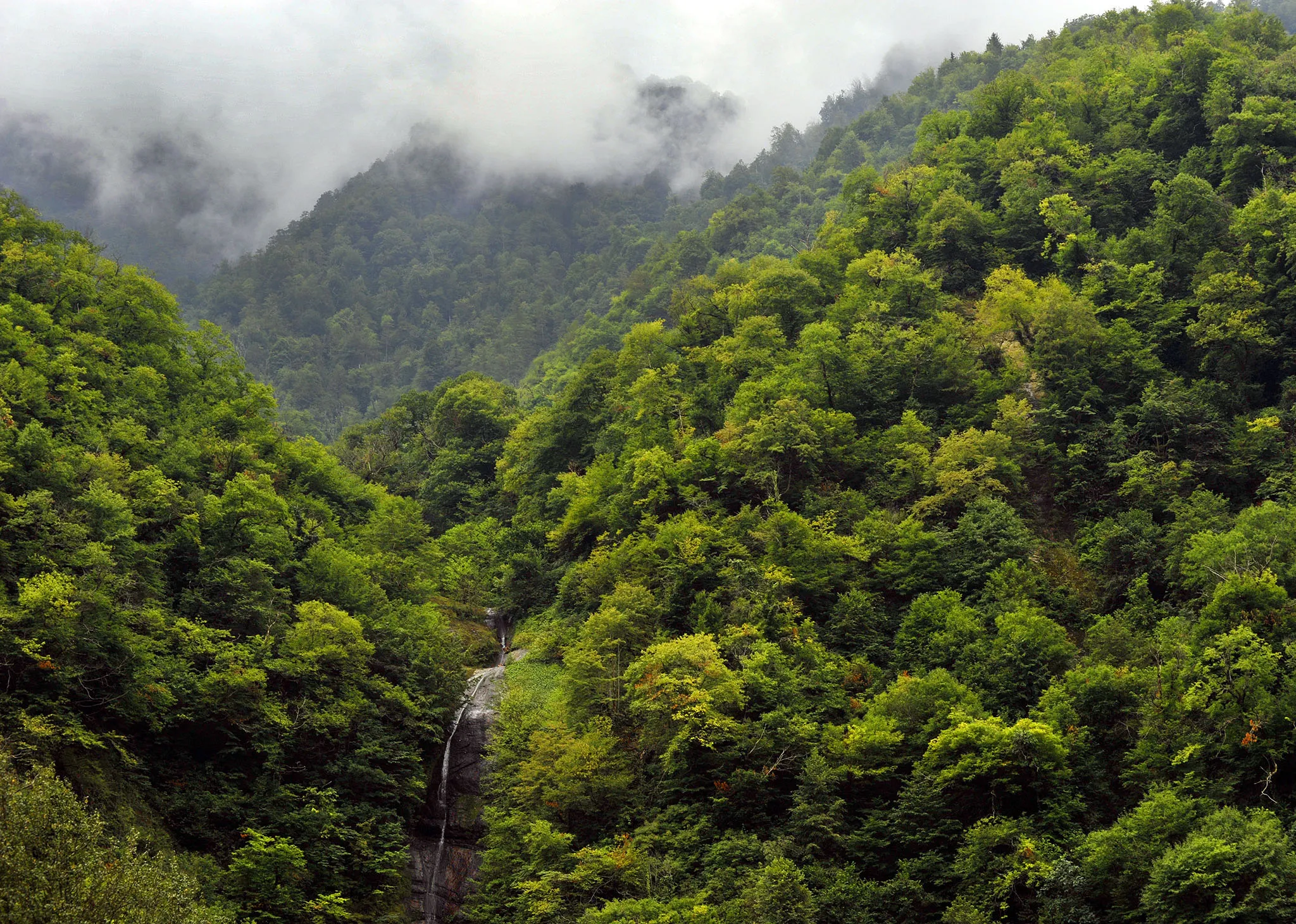
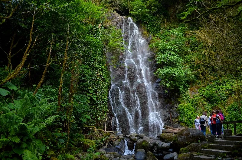
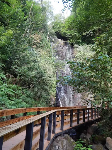
Mirveti Waterfall — in the village of Mirveti, in the Autonomous Republic of Adjara, in the Khelvachauri municipality, in the Adjaristskali community. It is located on the left side of the Chorokhi River, at an altitude of 60 m above sea level. It is 19 km away from the city of Batumi.
View on map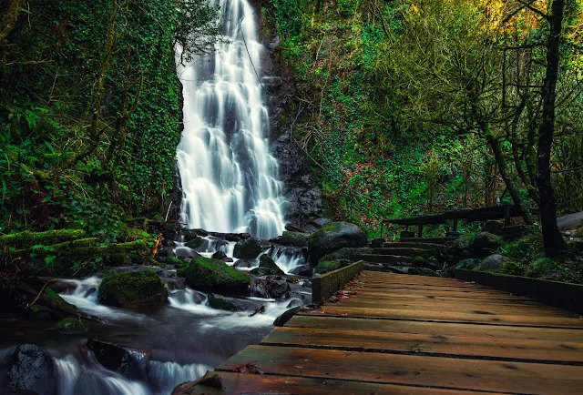
Gonio
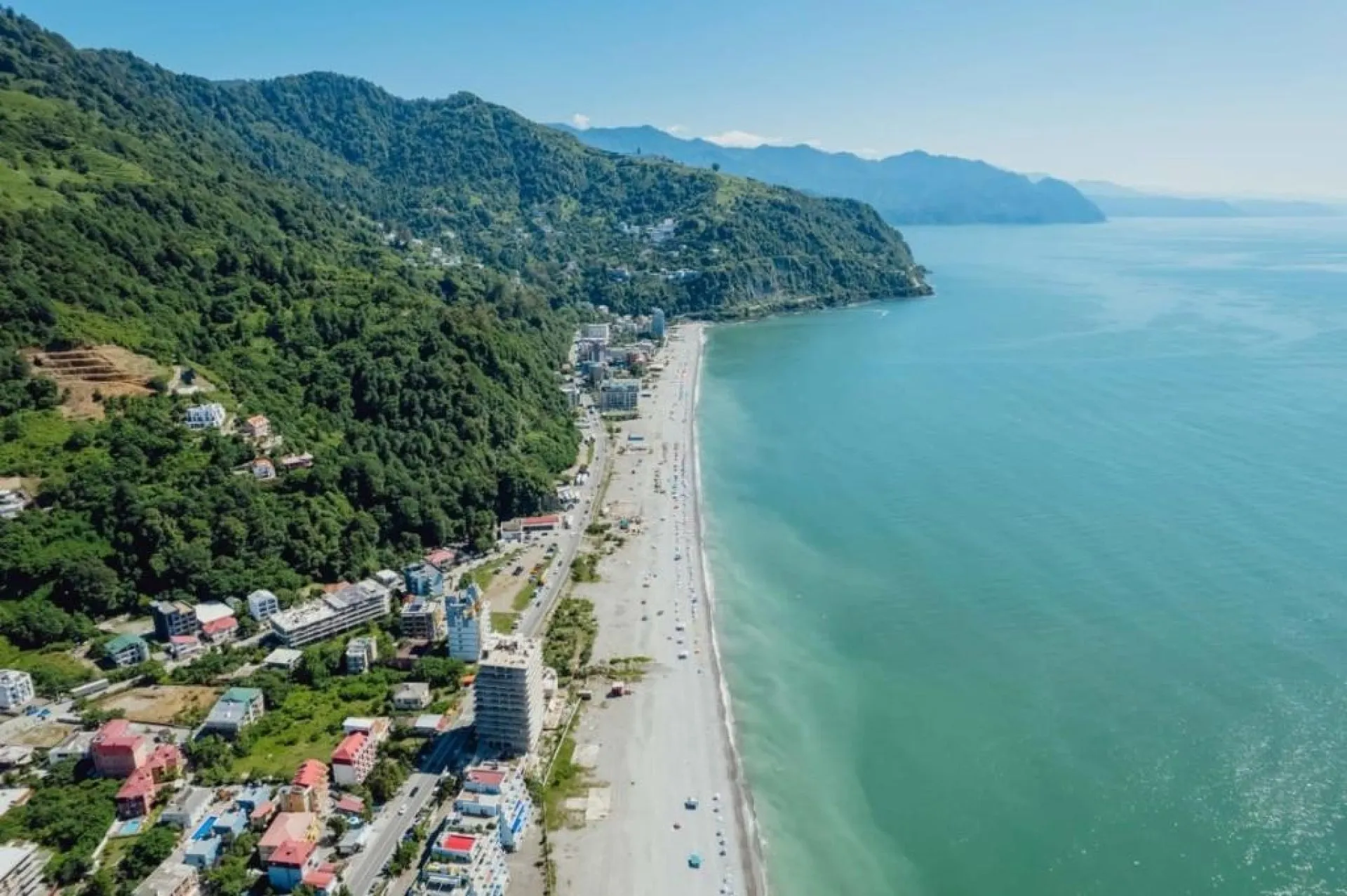
Is a Black Sea resort in Adjara, in the city of Batumi, in the Gonio-Kvariati district. It is located on the left bank of the Chorokhi River. Gonio is one of the most popular seaside resorts in Georgia.
According to archaeological data, the oldest settlement in Gonio dates back to the 8th-7th centuries BC. In the 70s of the 1st century AD, the Apsarunti fortress appeared in Gonio. After the 12th century, it was already referred to as the Gonio fortress. In 1547, Gonio was captured by the Ottomans and remained in their possession until 1878.
According to the Treaty of San Stefano, Gonio, like all of Adjara, was transferred to the Russian Empire. Gonio, as a village, was included in the Batumi district. At the same time, it was the center of the Gonio police district.
Since 1930, Gonio has been included in the Khelvachauri district. After the expansion of the borders of the city of Batumi in 2011, it fell within the administrative borders of the city.
View on mapGonio Fortress, Apsaros
1st century historical fortress in Adjara, Khelvachauri Municipality, in the seaside resort of Gonio. The Gonio-Apsaros Archaeological and Architectural Museum-Reserve is located in the extreme northern part of the historical Chaneti, at the mouth of the Chorokhi River on the Black Sea, on its left bank, 12 km south of Batumi.
The Gonio-Apsaros Fortress had a unique strategic importance: it guarded the entrances to the Chorokhi and Ajaristskali gorges, which connected the interior regions of southwestern Georgia with the Black Sea coast. It was precisely because of this location that Gonio Fortress became one of the main citadels of the Roman Empire, then of the Byzantine Empire and the Ottoman Empire on the Eastern Black Sea coast. The Gonio-Apsaros Fortress had a unique strategic importance: it guarded the entrances to the Chorokhi and Adjaraistskali valleys, which connected the interior regions of southwestern Georgia with the Black Sea coast. It was precisely because of this location that Gonio Fortress became one of the main citadels of the Roman Empire, then of the Byzantine Empire and the Ottoman Empire on the Eastern Black Sea coast.
The Gonio Fortress is rectangular in shape; its length is 228 meters and its width is 195 meters. The area of the fortress is 44,460 sq. m. The rampart is fortified with 18 towers. The corner towers are larger.
Gonio is a complex structure with its towers and outbuildings. The fortress has undergone many restorations throughout its existence. Several layers of construction are clearly visible in the walls of the enclosure. The oldest of them are large and finely polished squares arranged in a straight line, and the newest is a layer of cobblestones (irregular arrangement) in the upper part of the walls. The latter dates back to the middle of the 16th century, when, as sources inform us, the Ottomans “rebuilt” the newly captured Gonia.
As for the oldest layer of the fortress, it is built of Bumberazuli cut stones.
Since 2010, a museum-reserve has been operating in the Gonio fortress, where exhibits dating from the 1st century BC to the 1880s of the 19th century are kept.
View on map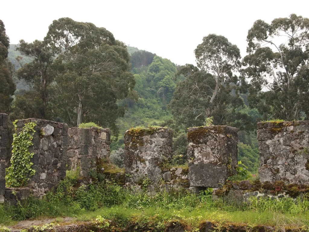

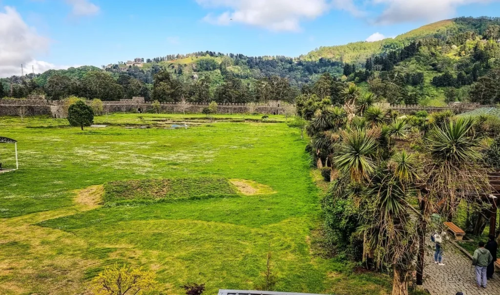
Mirveti Arch Bridge – located in Adjara, in the village of Mirveti, Khelvachauri municipality, 7 km from the Ajaristskali turnoff. The bridge was probably built in the 11th-13th centuries. The bridge has natural rock piers on both sides. The bridge parameters are: length – 12 m, width in the middle – 2 m, height from the water surface to the abutment – 5 m, height of the abutment 52 cm, width of the right approach – 4.20 m, width of the left approach – 3.5 m. The bridge was restored within the framework of the 2013 targeted program of the Adjara Cultural Heritage Protection Agency.
View on map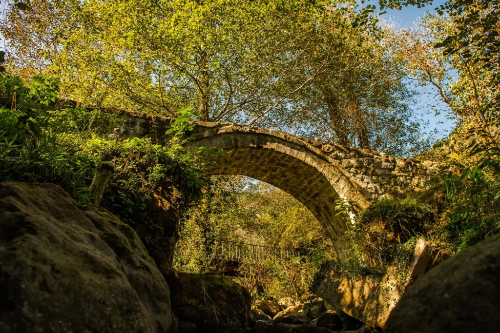
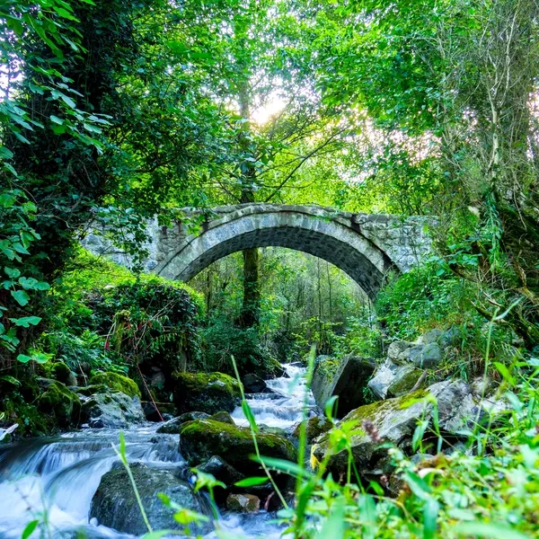
Tskhemlara Arch Bridge is a medieval arch bridge located in the village of Tskhemlara, Khelvachauri Municipality, on the Machakhale River in Adjara.
The bridge is built with a buttressed arch in a narrow place. The length between the piers is 19.6 meters, and the width of the road surface is 22 m. The height of the bridge from the river surface to the head of the abutment is 5.55 m, the height of the pier is 2 meters, and the thickness at the heel is 1.40 m. The width of the bridge in the middle is 1.65 m, and at the approaches 2.2. The width of the right approach is 8 meters, the length is 9 m, the dimensions of the left approach are relatively small.
The Tskhemlara Arch Bridge is distinguished from other bridges by its stone structure, large span and low height. This bridge was used by the population of Tskhemlara in the 60s of the 20th century until the construction of a new motor bridge. The bridge was awarded the category of an immovable cultural monument of national importance by a decree of the President of Georgia in 2006
View on map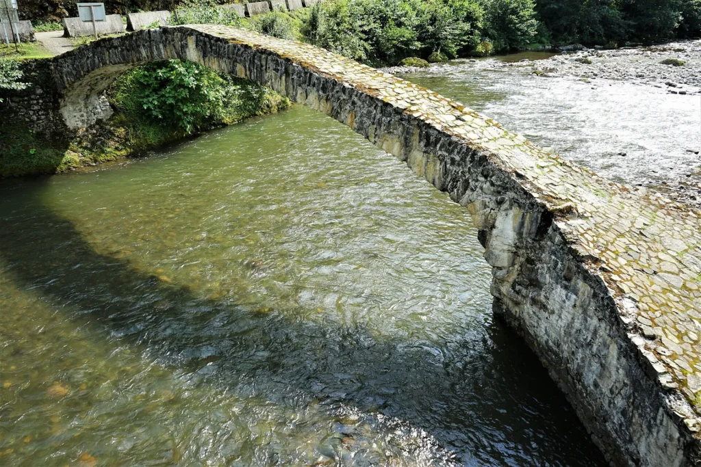
Sarpi
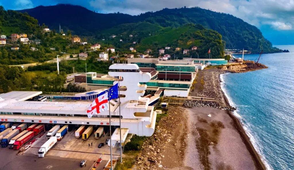
Sarpi is a Black Sea resort and village in Adjara, Khelvachauri municipality. It is located on the banks of the Toba River. The village is connected to the city of Poti by the international highway E70, S 2. Sarpi is located on the border of Georgia and Turkey, there is a customs checkpoint in the village. In the last decade, the resort infrastructure has developed. In 1921, based on the Treaty of Kars, the village of Sarpi was divided into two. The small Toba River flowing into the village of Sarpi was established as the border between the Georgian SSR and Turkey. The village, which is part of the Turkish state, is also called Sarpi. The majority of the population of Sarpi are Laz.
Statue of St. Andrew the First-Called and Waterfall – located in Sarpi, Khelvachauri Municipality, Adjara. The monument is dedicated to the historical fact of the entry of St. Andrew the First-Called into Georgia. According to legend, this is how he entered Georgia. Christianity was first spread in Adjara, here by one of the disciples of Jesus Christ, Andrew the First-Called.
View on map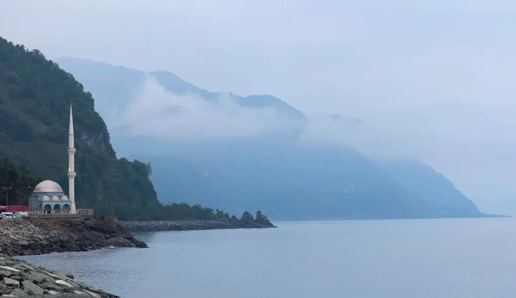
Keda Municipality
keda is a municipality in Adjara. Traces of human habitation in the region date back to ancient times, as evidenced by the settlements and burial grounds of the Bronze Age and the Antique period discovered here. There was a developed settlement in the territory of Keda in the Middle Ages, as evidenced by numerous fortresses and beautiful arched bridges.Keda municipality is located in the middle reaches of the Adjaristskali River. Its administrative center is the town of Keda. The municipality borders Kobuleti to the north, Shuakhevi to the east, Khelvachauri to the west, and Turkey to the south.
Keda municipality is rich in beautiful nature and an abundance of cultural monuments. Wild nature, valleys hidden in greenery and waterfalls attract many travel enthusiasts. Here you can find many places for hiking and short excursions. The Makhuntseti and Goderdzi waterfalls are particularly popular, offering an undoubtedly impressive sight to the visitor. In addition to the beauty of nature, Keda is also distinguished by its cultural and historical monuments. Here you will find ancient fortresses and medieval arched bridges, which are still used by the local population.
Makhuntseti Waterfall
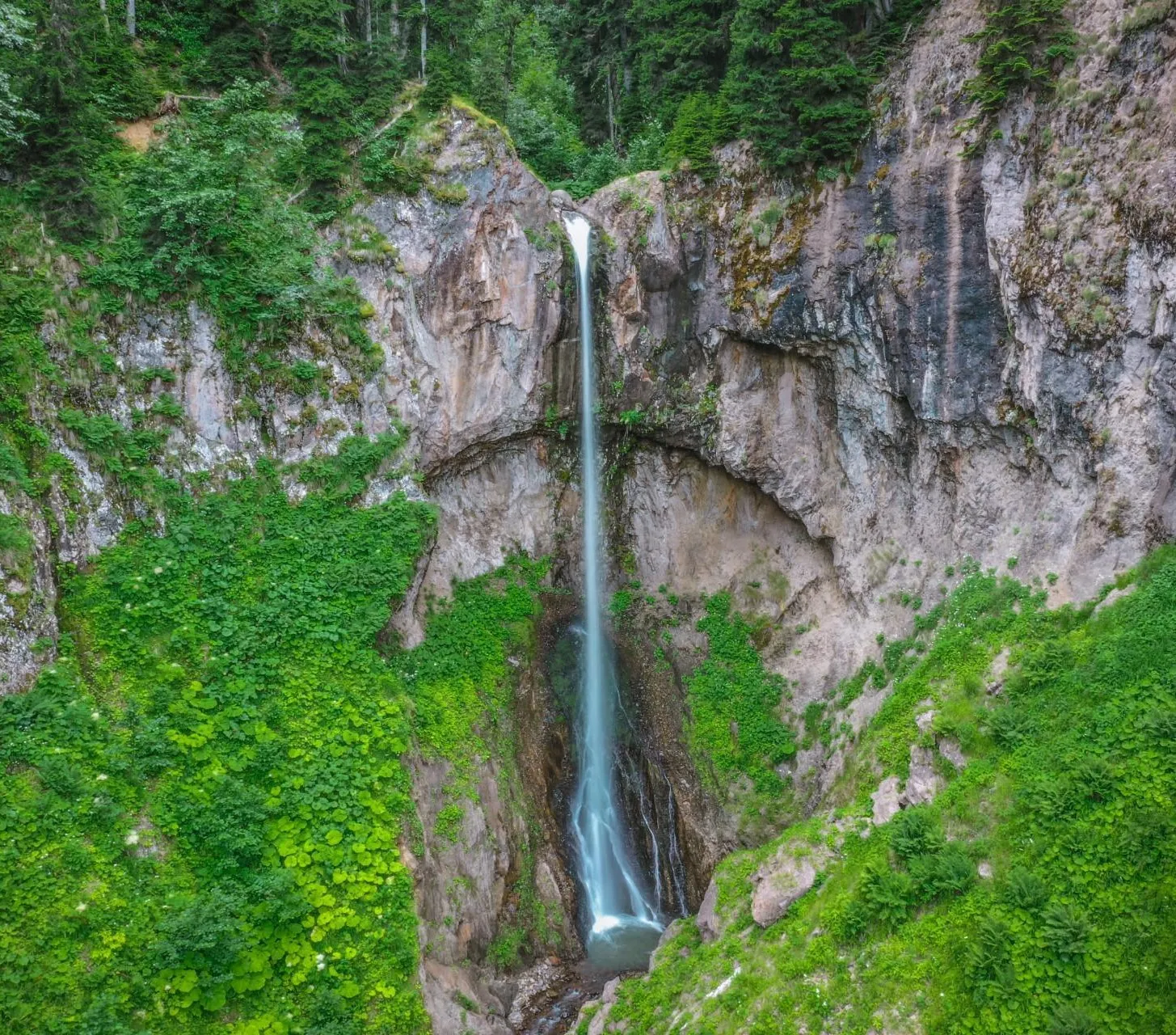
Is one of the most popular waterfalls in Georgia. It is located in Adjara, Keda Municipality, in the village of Makhuntseti, at an altitude of 335 meters above sea level, on the right side of the Adjaristskali River. A 50-meter-high waterfall flows down a small tributary, which creates a rather large whirlpool.
The waterfall can be reached by car as it is located near the main road. The waterfall can be visited at any time of the year. Here you can also buy local products: honey, churchkhela, etc.
There are also restaurant-type catering facilities and picnic areas. It will take you one hour to travel from Batumi.
View on map
Makhuntseti Bridge
Is a stone arched, vaulted bridge over the Adjaristskali River, on the territory of the village of Makhuntseti, in mountainous Adjara.
Hewn stone was used to build the bridge. The length of the bridge is 24 m. The length of the left approach is 1.75 m, and the right one is 2 m. Accordingly, the widths of the approaches are 3.24 m and 3.70 m. The width of the bridge is variable. It varies from 2 m to 2.5 m. The bridge is narrowest in the middle — 2 m. The span is 20-25 m. The height of the arch above the water level is 6 meters. The width of the arch at the head is 0.70 m, and at the heel — 1.60 m. Natural rocks of different heights were used as piers. The rock is built up with stones in a staggered manner.
The Makhuntseti Bridge is located 54 meters from the Batumi-Khulo central road. The bridge is large and rests on natural rock piers. Volcanic rock was used for its construction, on a lime kiln. The bridge underwent complete reconstruction works in 2008.
The bridge was awarded the category of an immovable cultural monument of national importance by the decree of the President of Georgia in 2006.
View on map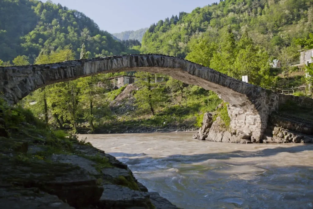
Goderdzi Waterfall
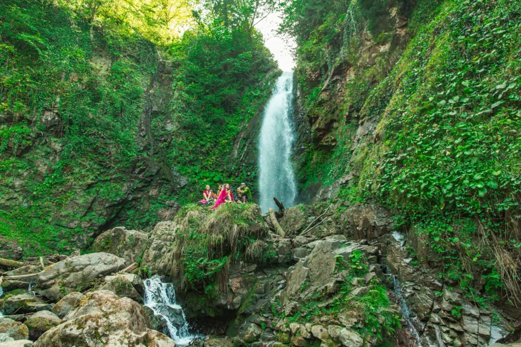
Medzhibni is located in the village of Medzhibni, Keda Municipality. Its height is about 30 meters. Behind the waterfall there is a natural cave in the rock. Distance from Batumi—52 km and from the nearest regional center:—7 km . There is an asphalt and dirt road to the waterfall, any car can reach the waterfall
View on map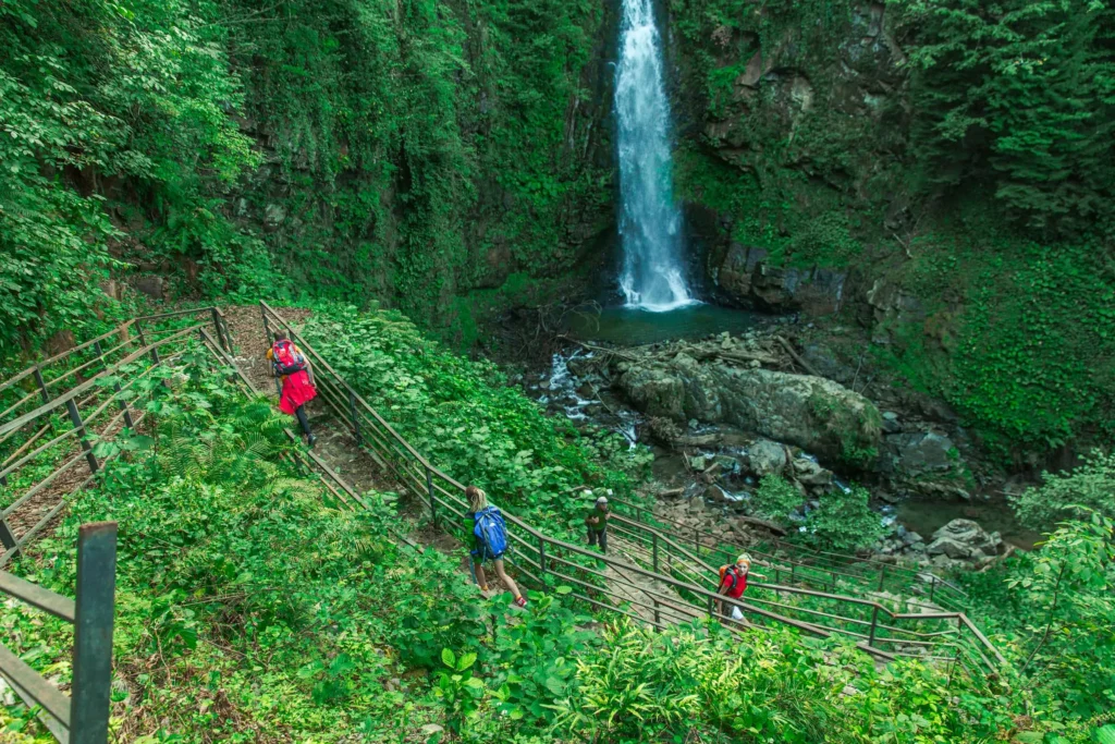
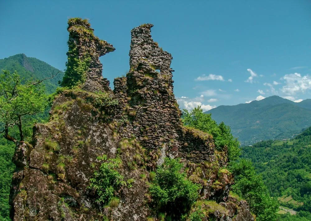
Tsivasula Fortress is located in Adjara, in the Keda Municipality, at the confluence of the Agarisghele and Ajaristskali rivers, above a place called Tsivasula, in the eastern part of Sasire Gora. It dates back to the 11th-13th centuries. The fortress had strategic importance, its main function was to control the roads leading to the Ajaristskali gorge and Agaristskali. Built on a high, rocky promontory, the fortress is almost inaccessible, it can only be approached from the northwest, in the form of a narrow path. The fortress is small in size and quite damaged, its area is approximately 400 m². The contour of the fortress, built of smooth stone, follows the contour of the rock in a curved manner. Today, the northern and southern walls of the fortress and partially the upper part of the eastern wall have survived. The surviving height of the northeastern wall of the fortress is 5.5 meters, and its thickness is 0.7-0.8 meters. Inside the fortress, there are remains of buildings for various purposes.
Mitsa Bridge is located in Adjara, near the village of Pirveli Maisi, Keda Municipality, on the right tributary of the Agaristskali River, on a narrow and rocky site. It dates back to the 11th-13th centuries. The length of the bridge from pier to pier is 7 meters, the length of the walkway is 16 meters. The width is 1.9-2 meters. It has the outline of an open semicircular arch and rests on piers built on rocky rock on both banks. The bridge is built of semi-finished stone on a lime mortar, the stones are arranged in a straight line. The surface is covered with stone slabs. The arches are arranged around one center, and are connected by well-polished squares. The semicircular arch is framed by a small ridge. In the middle of the walkway, the bridge has a bend, which gives it a more artistic appearance. The construction techniques of a land bridge are more sophisticated than those of other bridges.
View on mapSaghoreti Fortress is located in the village of Pirveli Maisi, Keda Municipality, Adjara, on the right bank of the Adjaristskali River, on the Kokhtvari ridge. It dates back to the 12th-13th centuries. The fortress is built on a system of high cliffs and overlooks the Adjaristskali Gorge. It has only one entrance – from the northeast. Together with the Kolotauri Tower and Tsivasula Fortresses, it controls the Adjaristskali Gorge. The fortress covers an area of 200 m². Today, the tower, a part of the rampart wall and the ruins of the wall built on the tower have survived. The rampart has an oval shape.
View on mapKhulo Municipality
Khulo Municipality is located in Adjara. Its territory extends from 400 to 3007 meters above sea level. The administrative center of the district is the Khulo settlement.
Khulo borders Turkey to the south, Shuakhevi Municipality to the west, Ozurgeti to the northwest, Chokhatauri to the north, and Adigeni Municipality to the east. The territory of Khulo is mountainous, located on the slopes of the Arsian and Meskheti ranges.
There are many lakes in the district, the largest of which is Lake Mtsvane. Khulo is rich in a variety of flora and fauna.
If you love traveling and wandering in nature, you will find many interesting places here. Lakes, waterfalls, green mountains, alpine meadows, and amazing views attract many people and make a great impression on the visitor.
Bako Waterfalls
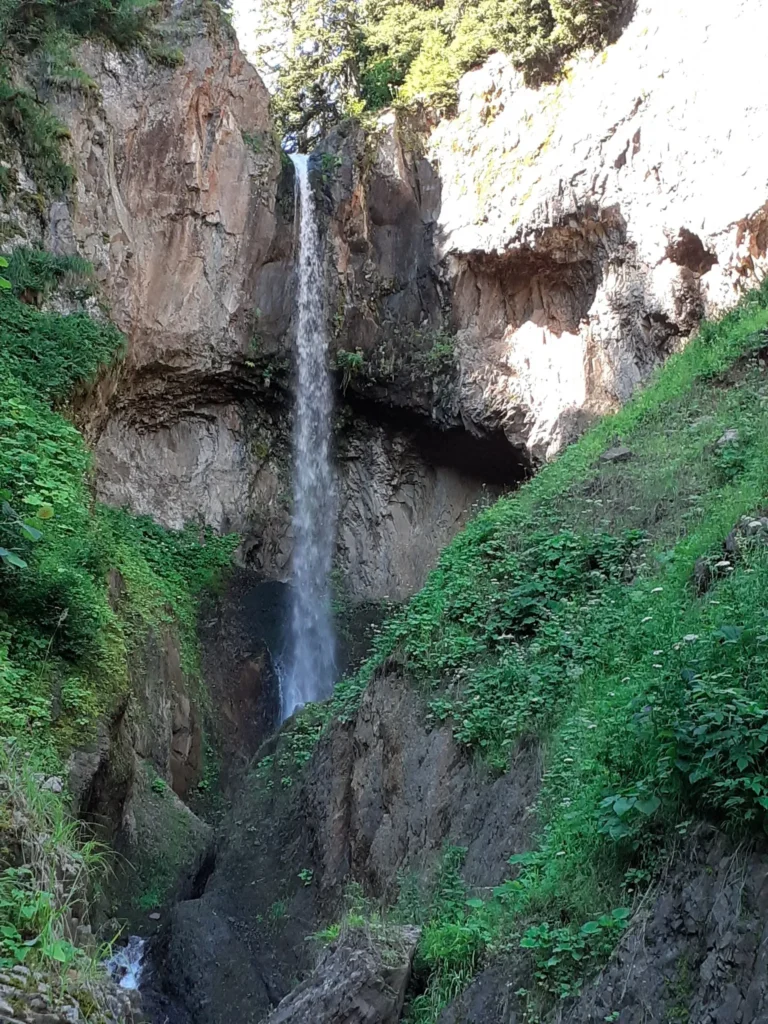
Bako Waterfalls – located in Adjara, Khulo Municipality, near the village of Bakibako. Two waterfalls flow down into a river valley hidden in greenery – the Big Bako Waterfall and the Small Bako Waterfall, creating a unique spectacle.
View on map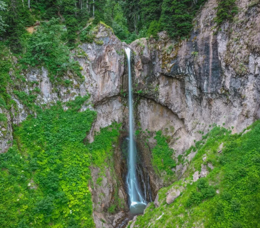

Khabelashvilebi Bridge
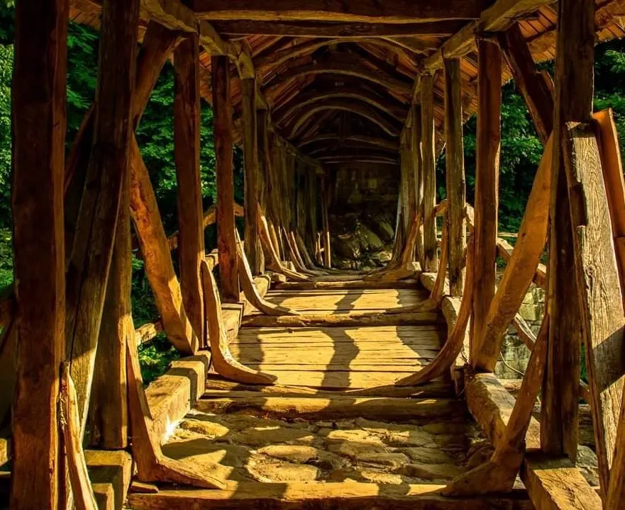
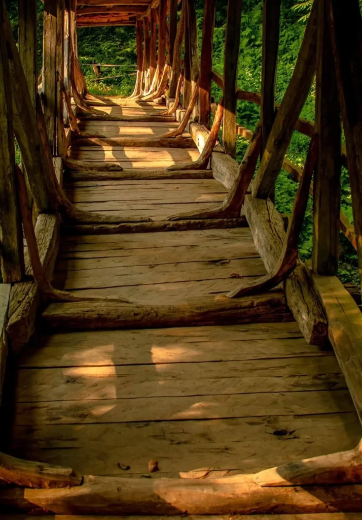
Khabelashvili Bridge is located in the village of Khabelashvili in Shuakhevi district, adjara. The length of the bridge is 25 meters and it is unique in its architecture. The uniqueness of the bridge lies in its construction technique, in particular, it is similar to the standing stone arch bridges, but here it is entirely made of wood. In addition, various types of valuable wood were used in the construction of the bridge: beech, elm, oak, chestnut, and alder.
The bridge is 3 centuries old and is still actively used by the population to travel from the village of Khabelashvili to the villages of Brili, Baratauli and Gomarduli. The bridge is covered with a tarpaulin and has undergone major reconstruction. The Khabelashvili Bridge is included in the list of cultural heritage monuments.
View on map
Shuamta Lakes
Lakes in Upper Adjara, Khulo Municipality, in the summer village of Shuamta, at 2150 meters above sea level. The village offers views of the Khikhani Fortress and its surroundings.
Khikhani Fortress
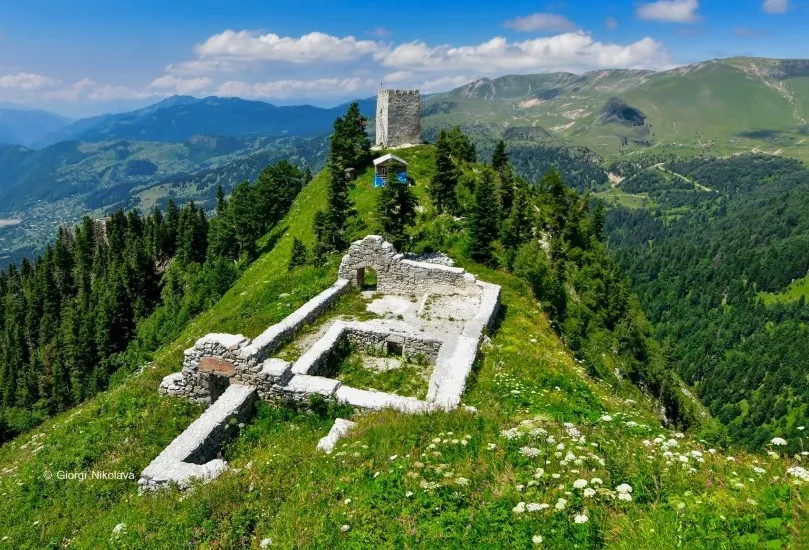
Khirkhati Fortress (Abuseridze Family Fortress) — a medieval fortress in Adjara, in the village of Zeda Tkhilvana, Khulo Municipality, at the headwaters of the Skhalta River, on the top of a high steep cliff.
The fortress includes various structures: a rampart, towers, a church and the remains of buildings for various purposes.
Khikhani Fortress is one of the most important fortresses in Adjara. It was built in a very important strategic location and was one of the refuges of Georgian nobles. When the enemy overcame the fortresses of Tbilisi and Gori, they took refuge in this fortress.
By the 30s of the 13th century, on the orders of the Eristavt-Eristavis Abuseri and Vardan, their brother Tbeli built a stone St. George’s Church in the fortress. There are many legends connecting Khikhani Castle and Queen Tamar. Sometimes Khikhani Castle is also called Tamar’s Castle.
View on map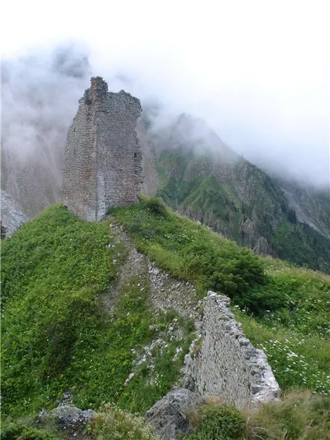
Skhalta, Kinchauri
A 12th-century church in Adjara, in the village of Kinchauri, Khulo municipality, in the valley of the Skhalta (Khikhani) River, the center of the Skhalta Diocese.
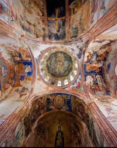
The Skhalta Church is a monument of great importance and occupies an honorable place among other rare examples of Georgian architecture. It is the only example of medieval cult architecture and monumental wall painting in Adjara.
The Skhalta Fathers Monastery complex includes various buildings: a church, a small church, a cellar, and tombs.
The main temple of Skhalta is a large hall-like structure.
It had gates on the south and west sides. Currently, only the arched entrance of one of them has survived, while the other has been demolished for a long time. In addition, the temple had a glass building on the north side, as evidenced by traces of its walls. The monument was severely damaged.
Before the restoration work began, the temple had no roof. The temple shows signs of numerous repairs and restorations. There are fragments of paintings in the interior of the church.
There is a mid-century bridge over the Skhalta River.
View on map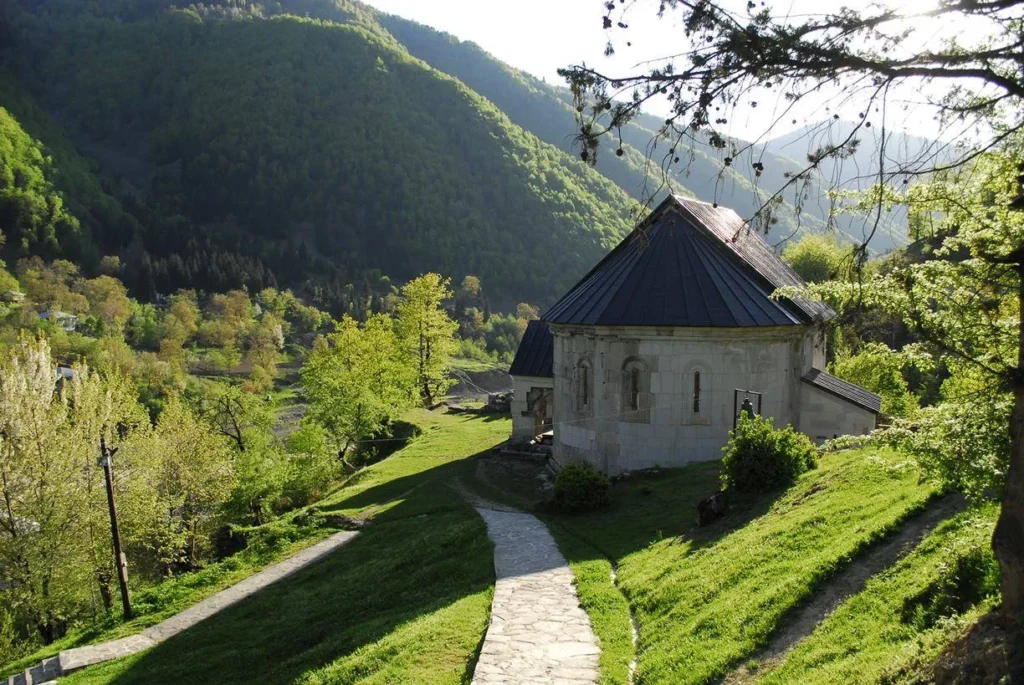

Goderdzi
Goderdzi ski resort is located in the southwestern part of Georgia, in the mountainous Adjara, on the Goderdzi pass, at an altitude of 2027 meters above sea level. Goderdzi is 252 km from Tbilisi and 109 km from Batumi. Due to its proximity to the Black Sea, this place is distinguished by abundant precipitation, which makes the resort very attractive. Goderdzi resort is distinguished by impressive nature, beautiful views, clean air and diverse landscapes. It is one of the best for lovers of skiing in untracked snow. Skiing is possible in the alpine zone, in dense coniferous forests and even in villages.
At this stage, the resort has two small ski lifts – (Borano and a moving carpet). There are also 6-seater bubble-type and 8-seater gondola-type ski lifts. On weekends, the ski lifts operate from 10:00 to 17:00, and on weekdays from 10:00 to 16:00.
The total length of the ski slopes is 8 kilometers, and the maximum altitude above sea level reaches 2364 meters. The longest descent distance is about 4.5 kilometers. There are both medium-difficulty and difficult tracks. And beginners can learn to ski on a small 150-meter track.
Goderdzi Ski Resort can be reached by car. In winter, an off-road vehicle is required. The shortest route from Tbilisi to Goderdzi runs through Akhaltsikhe, although the Zarzma-Goderdzi section is closed in winter due to heavy snowfall and ice. It takes about 3 hours to get from Batumi to Goderdzi. It will take about 10 hours to get from Tbilisi to Goderdzi via Batumi, as the last section of the road from Batumi to Goderdzi is in poor condition.
Goderdzi Alpine Garden – is located in Adjara, Khulo Municipality, on the southern slope of the Adjara Trialeti Range, near the Goderdzi resort, in the Shkernali area, at an altitude of 1960 meters above sea level.
The garden covers an area of up to ten hectares. Dozens of years ago, a large part of the territory was covered with subalpine forest. The territory of Goderdzi Alpine Garden is distinguished by a variety of habitats, including forest, meadow, lake, swamp and rocky ecotopes.
The goal of Goderdzi Alpine Garden is to promote the collection of local high mountain plants in an alpine garden, its documentation and use for scientific, educational and cognitive purposes, and to ensure the conservation, protection and preservation of endangered plants for future generations.
The foundation for the Goderdzi Alpine Garden was laid in 2012, and the garden is being developed in stages.
View on map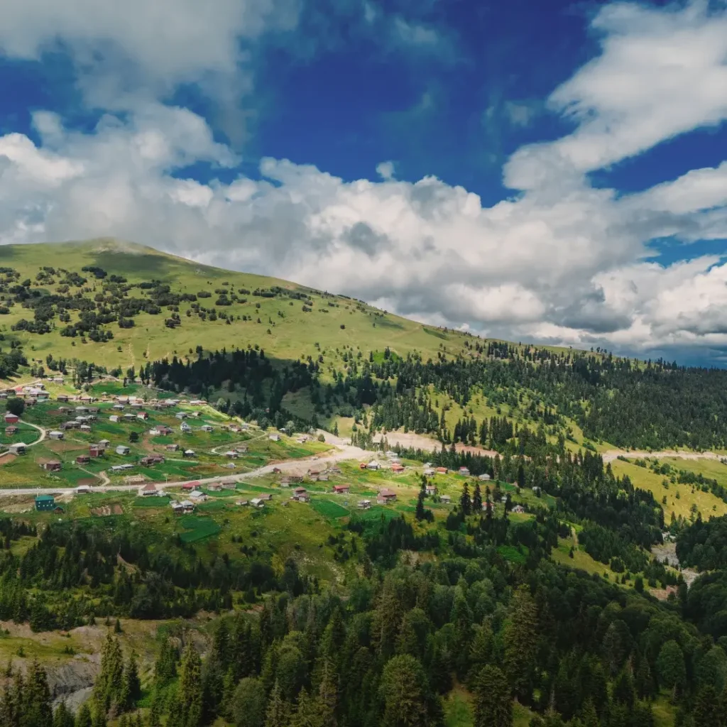
Green Lake
“Mtsvane Tba” a lake in Upper Adjara, Khulo Municipality. Located in the northern part of the Arsiani Range, near the Goderdzi Pass, at an altitude of 2058 m above sea level. It is weakly mineralized, clean, transparent, and suitable for drinking. There are no fish in the lake.
View on map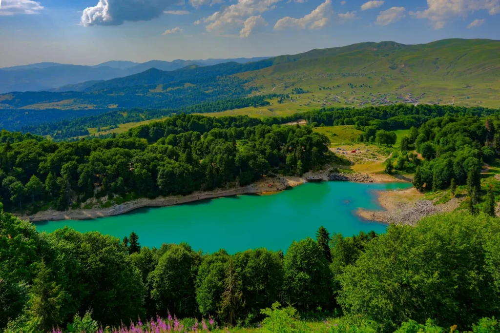
Beshumi
A mountain climatic resort and summer village in Adjara, Khulo municipality, on the Arsiani ridge, 1850-1900 m above sea level, 7 km from Goderdzi pass, 30 km from Khulo.
It is rich in coniferous forests. Summer is moderately cool (average temperature in August is 17.0 °C), winter is moderately mild (average temperature in January is -5.0 °C). They treat non-tuberculous diseases of the respiratory system, anemia, and chronic diseases of children.
The resort season lasts from June to September.
View on map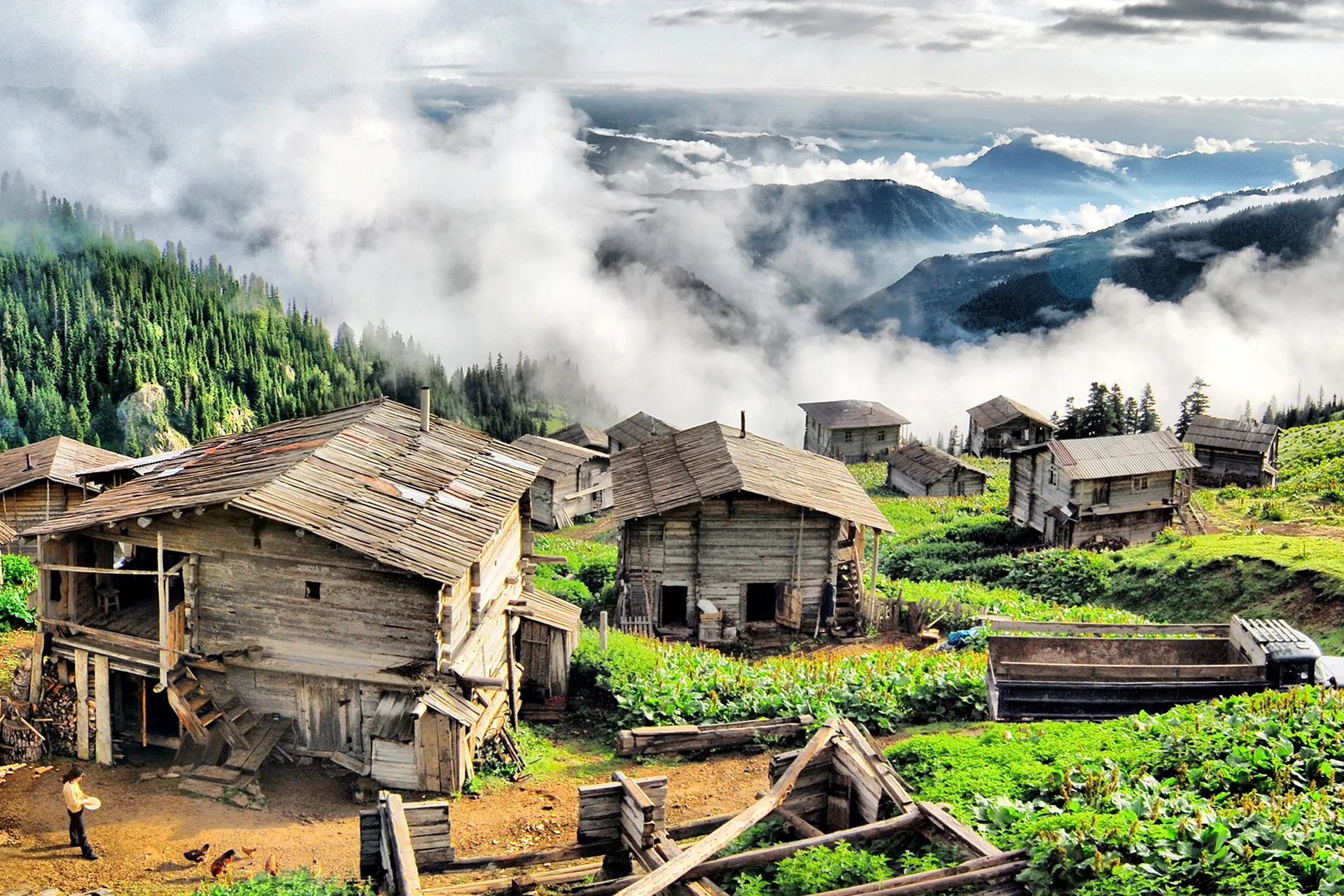
Batumi
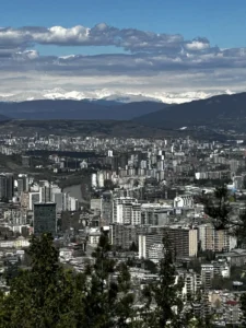
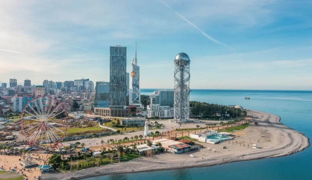
Batumi is located in western Georgia, in Adjara. It is a beautiful seaside city with sparkling beaches and charming surroundings. The territory of Batumi was inhabited as early as the Bronze Age. Life here was thriving even in ancient times, and the population had trade relations with neighboring and distant countries. Ancient history, light and dynamic architecture, sunny coast, boulevard, Batumi Botanical Garden, delicious Adjarian cuisine and many entertainment, cultural and recreational places make this city incomparable and attract many vacationers. It is popular not only in the republic, but also throughout the region.
Batumi City Municipality is the administrative center of the Autonomous Republic of Adjara.
Batumi is a large international port on the southeastern coast of the Black Sea. There is a natural lake on the territory of the municipality, which is part of Batumi Park. Subtropical vegetation is widespread in the city and its surroundings. Artificially cultivated parks and tea and citrus plantations are common. On the hills, natural Colchian forests and shrubs have been preserved here and there.
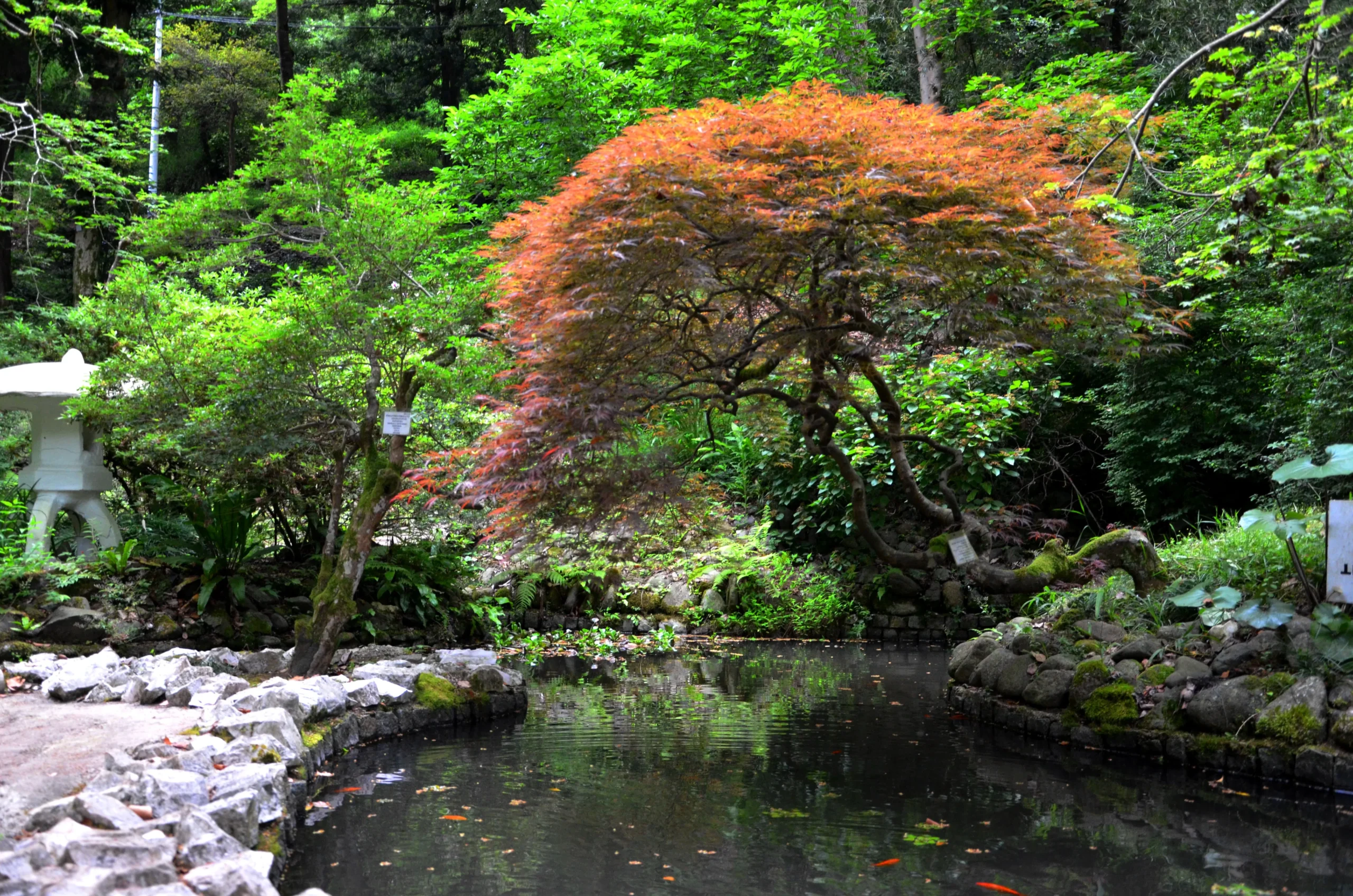
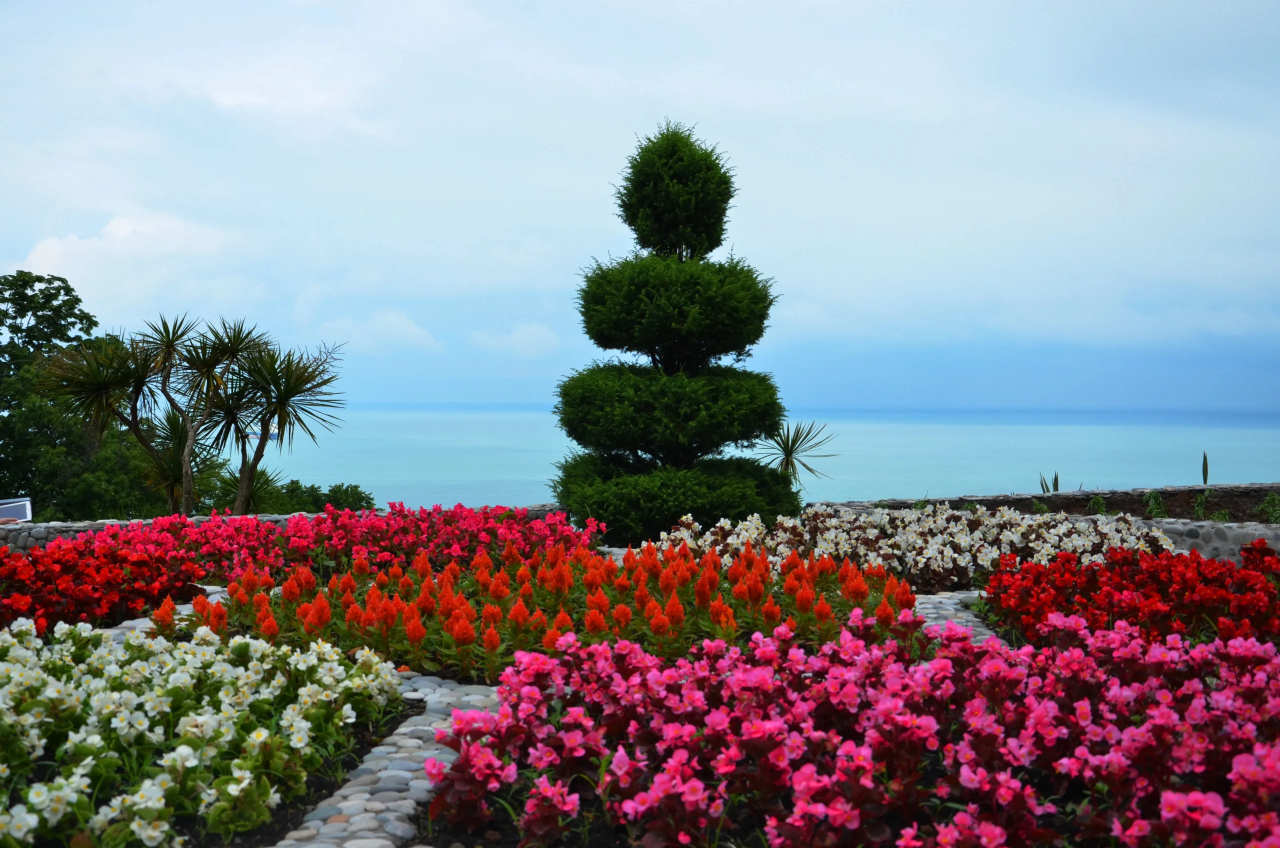
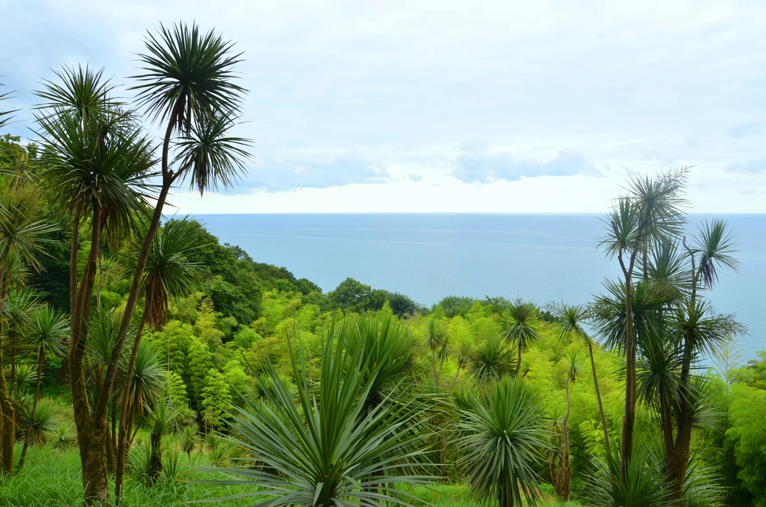
Batumi Botanical Garden
A botanical garden in Adjara, 9 km from the city of Batumi, on the coastal strip between the mouth of the Chakvistskali River and Cape Mtsvane. The garden occupies a southwestern section of the sea coast about 1 km long, which extends from 0-220 meters above sea level.
Batumi Botanical Garden – one of the largest and richest botanical gardens in the world, cultivated on 111 hectares and founded in 1912. The garden includes the Kolkheti Forest Reserve and many different floristic landscapes. The garden has many species and varieties of plants. The botanical garden is the best place for lovers of nature.
Batumi Botanical Garden has no analogues in the world in terms of the fact that plant species from completely different climatic and landscape zones coexist here. Both the Canary Island date palm and the Japanese sakura thrive equally well in this magical garden.
View on map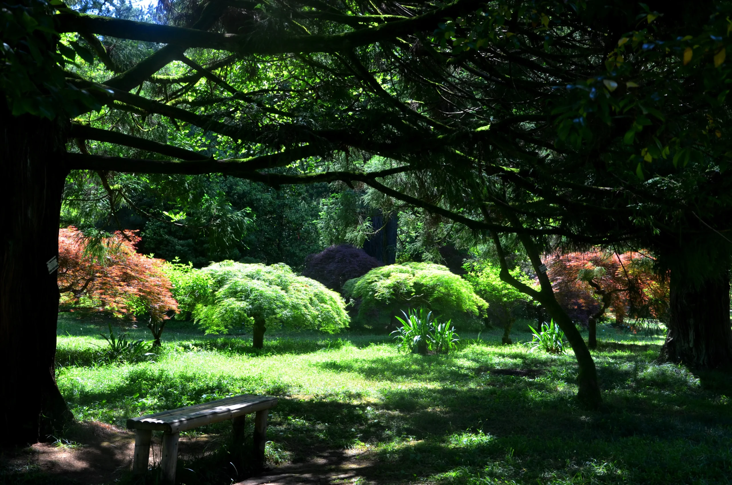

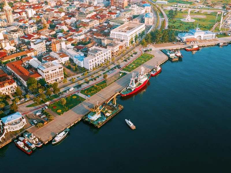
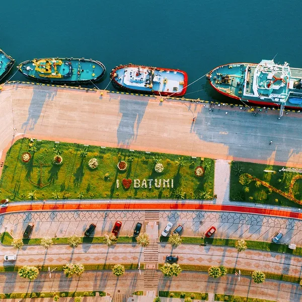
Batumi Sea Port
A modern, high-tech container, ferry and general cargo port in the city of Batumi.
Batumi Yacht Club is also located near the Batumi Sea Port, from where you can take a boat ride and enjoy the views of Batumi from the sea.
The history of the Batumi Sea Trade Port dates back to the Roman Empire, when during the reign of Hadrian III, the Batumi Port was one of the important points of the Roman trade network.
Batumi Port was and still is distinguished by its geostrategic and natural advantages.
View on map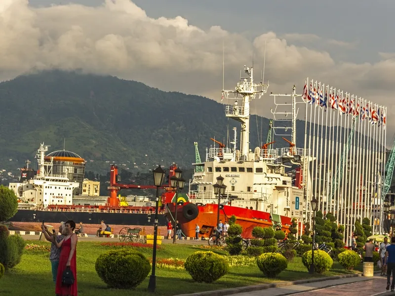
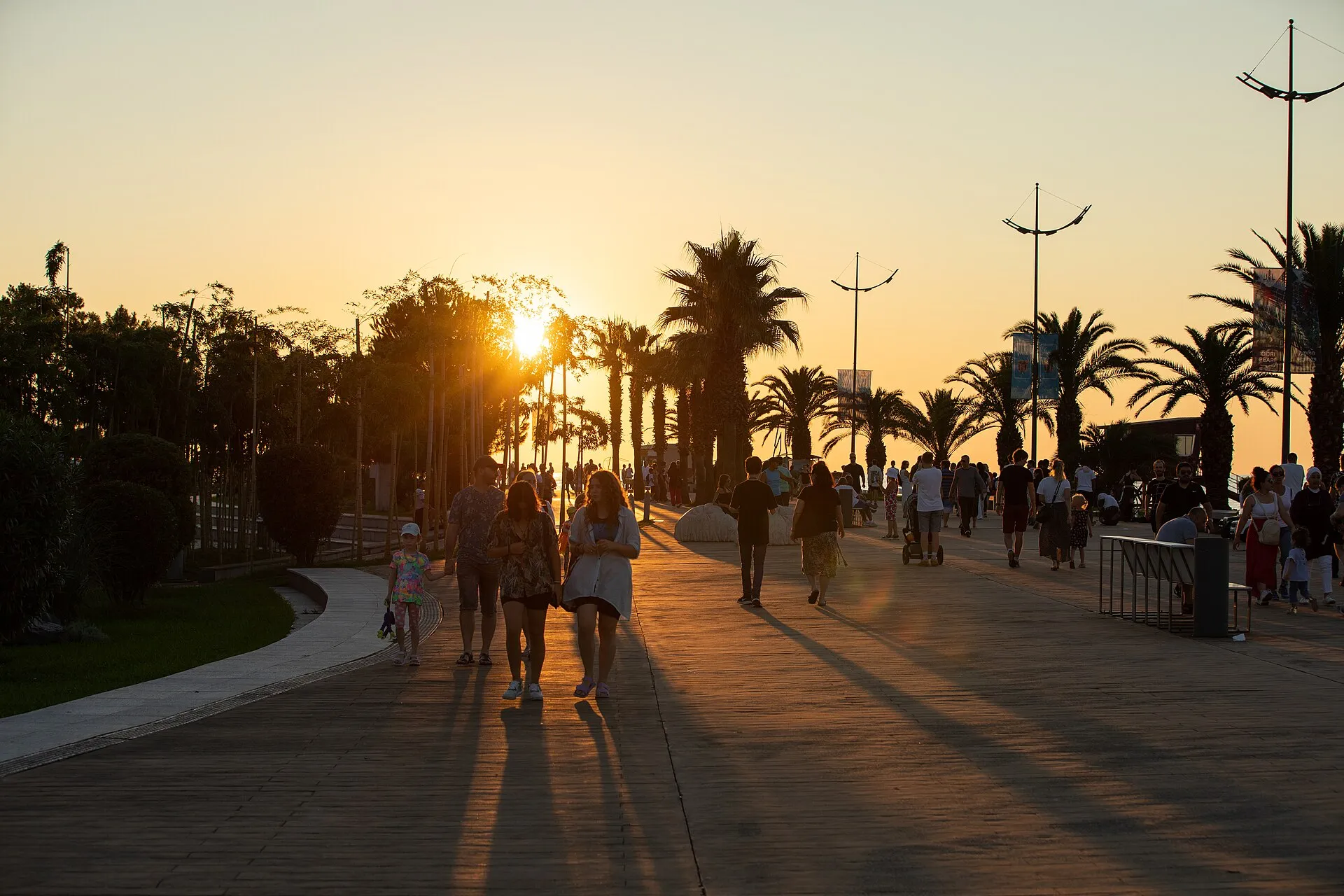
Boulevard
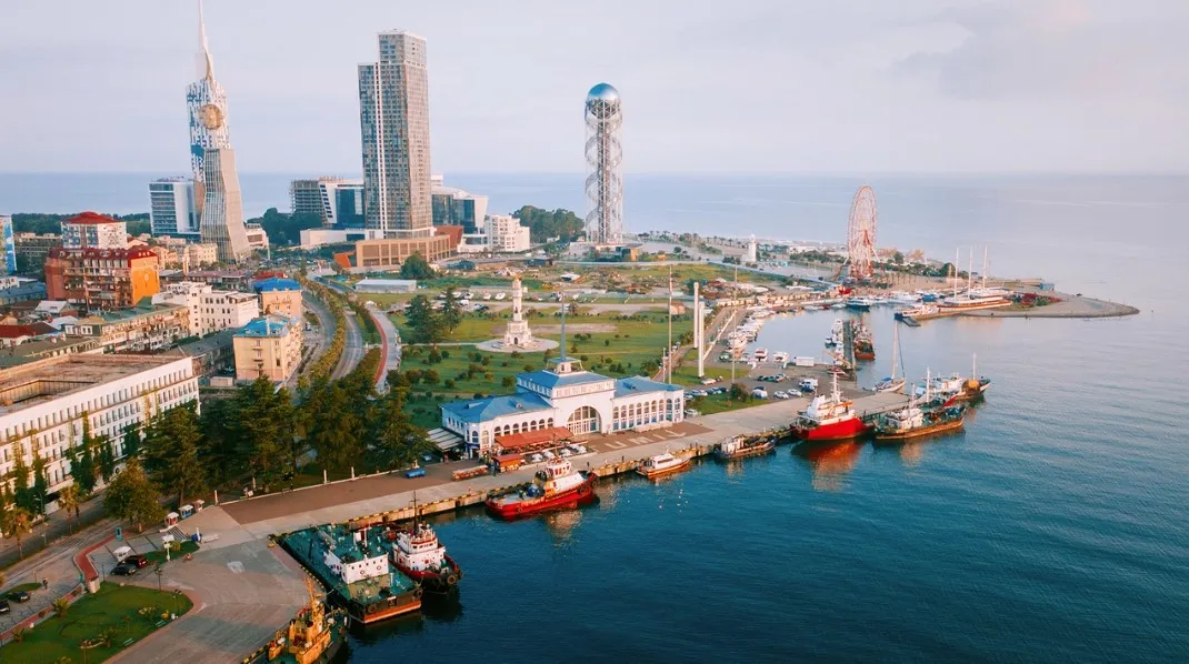
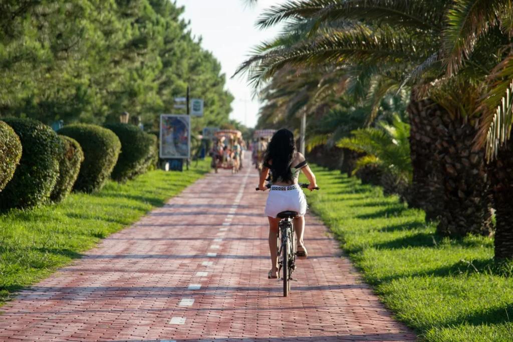
Batumi Boulevard – a seaside amusement park, is located in Adjara, in the city of Batumi. The boulevard is located in the historical part of the city, along the coastline. Its length reaches 7 km.
The seaside boulevard is one of the most important landmarks of Batumi. Since 1987, the boulevard has been a monument of Georgian landscape art of national importance and ihe history, urban life and traditions of Batumi.
The boulevard is full of bungalows, cafe-lounges, restaurants, shops, children’s attractions and various types of colorful or dancing fountains. On the Batumi boulevard, planted with unique plants, you will find interesting sculptures and architectural monuments.s also a recreational zone. The history of the boulevard is an integral part of t
View on map
Batumi Dolphinarium – A dolphinarium in Adjara, in the coastal city of Batumi. It was opened in 1966.
One of the favorite places for visitors to Batumi is the dolphinarium, which is always crowded. Here you will see an amazing dolphin show. Batumi Dolphinarium was one of the largest dolphinariums in the world. Today’s dolphinarium is a modern design building with the latest facilities for keeping marine animals in artificial conditions and amazing performances.
The dolphin show is an educational spectacle saturated with show elements, which is held in any weather. The show is bilingual – in Georgian and English, 10 dolphins participate in the show.
The amphitheater of the dolphinarium consists of 4 sectors and is designed for 795 spectators. The infrastructure includes services for people with disabilities with a ramp and elevators. The program is held every day, except Monday.
Batumi Ferris Wheel – one of the most popular attractions of Batumi New Boulevard and one of the most significant places in the city, which does not include age restrictions and is open to people of all ages.
The 55-meter-high Ferris Wheel is one of the best ways to see and appreciate the beautiful views and buildings of Batumi.
The duration of one circle of the wheel is 10 minutes. It is designed for 240 people.
View on mapThe statue of “Ali and Nino”
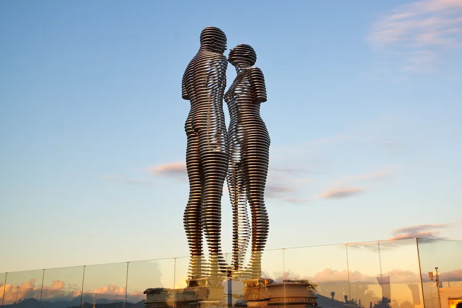
Is a moving sculptural composition on Batumi Boulevard, one of the landmarks of the Georgian Black Sea resort. The 8-meter-tall figures of a woman and a man, Ali and Nino, made of “airy” transparent metal, slowly move towards each other, gradually becoming one whole. This process is repeated every 10 minutes.
The statue is the author’s work of the famous Georgian artist and sculptor Tamar Kvesitadze. The monument is named after the famous Azerbaijani writer Kurban Said’s novel “Ali and Nino”. The novel “Ali and Nino” tells the story of the love of the Azerbaijani Muslim Ali Shirvashir and the Georgian Christian Nino Kipiani. The events described in the book take place in the Caucasus during the First World War. The statue of “Ali and Nino” was created in 2010 and is a symbol of love, regardless of nationality or religion.
View on map

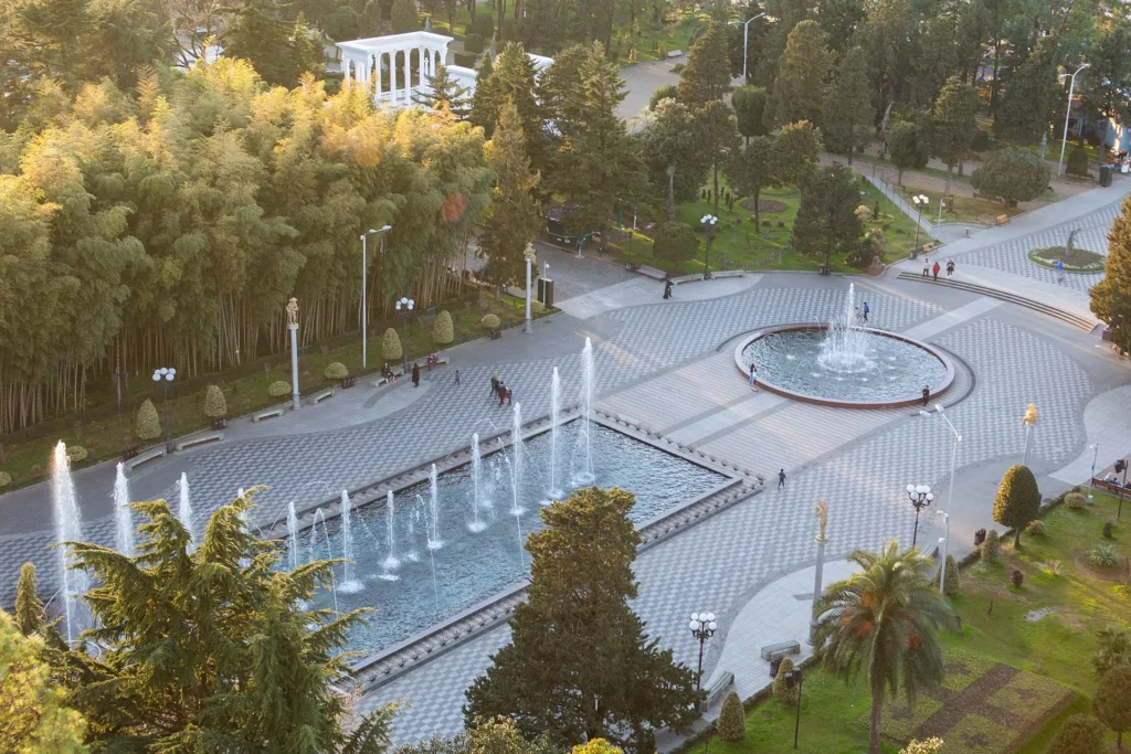
Dancing Fountain – a fountain on Batumi Boulevard. At night it is illuminated with colored lights, accompanied by pleasant music, a three-dimensional laser show, which creates the illusion of “dancing water”. In addition, there are many other fountains in Batumi. The program starts at 9:00 PM and lasts until 2 AM.
Lake Nuri (formerly Pioneer Lake; other names are: Nuri-Geli or Gel-Bashi) — a natural lake in Adjara, in the city of Batumi, near the Black Sea coast. It is located at an altitude of 0.2 m above sea level. It is mostly fed by groundwater.
In the 19th century, it was a swampy area. In 1933, the city garden was transformed into a children’s park. The park and the shores of the lake were improved. It was connected to the Black Sea by a canal. In 1947, the first ship “Pioneer” was launched into the lake, and on October 28, 1988, the ship “Aisi”. It is rich in fish, including mullet, crucian carp, carp and others. Many legends and historical facts are associated with Lake Nuri.
It is possible to rent a boat on Lake Nuri and enter the lake, if you wish, you will have the opportunity to try your hand at captaincy and drive the boat yourself.
On the shore of Lake Nuri, there is the May 6 Park, also known as the “Batumi Central Park”, which is the best place for relaxation and entertainment. The park has children’s entertainment areas and a small zoo.
View on map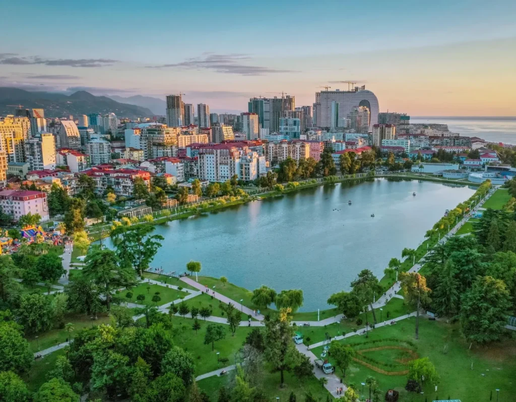

Adjara Khariton Akhvlediani Museum – a museum in Batumi, founded in 1908. The Adjara State Museum is one of the oldest scientific and educational institutions in Georgia. It houses about 180,000 exhibits: unique items, collections, photographs, works of art, the manuscript fund contains more than 2,000 rare manuscripts in Georgian, Russian, Armenian, Arabic, Turkish, Persian and other languages, the museum library contains 63,000 books in different languages. Among them are many bibliographic rarities
The Adjara Art Museum is an immovable cultural heritage monument in Batumi, Adjara. The Adjara Art Museum was officially opened on December 19, 1998, and is an important center of modern Georgian culture. The museum owns a solid collection of exhibits that provide a clear idea of the main stages of Georgian fine art of the 20th century.
Batumi Cathedral of the Nativity of the Virgin Mary – a Georgian Orthodox church in the city of Batumi, Adjara. It is a cultural heritage monument of national importance. Built at the beginning of the 20th century, the church has both architectural and aesthetic value.
The Cathedral of the Nativity of the Virgin Mary was built in 1897 by the patrons of the arts, the Zubalashvili brothers. The building is built in the neo-Gothic style and has three domes. During the Soviet period, it housed an archive, then a high-voltage laboratory. Later, by the decision of the Adjara government, the building was transferred to the Georgian Orthodox Church. In 1989, the church was consecrated by Catholicos Patriarch of All Georgia Ilia II
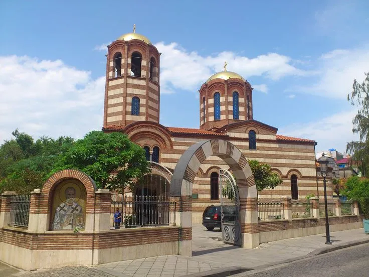
St. Nicholas Church – in the city of Batumi, Adjara. The church was built in 1865. A delegation of Greeks from Batumi appealed to the Turkish Sultan with a request to build a church. The request was approved, on the condition that the bells would never ring in the church.
The first liturgy was celebrated in 1871. During the Soviet period, the church ceased to function for 10-12 years, and in 1946, with the donations of the Orthodox parishioners, the church was restored and the priesthood was restored.
View on map
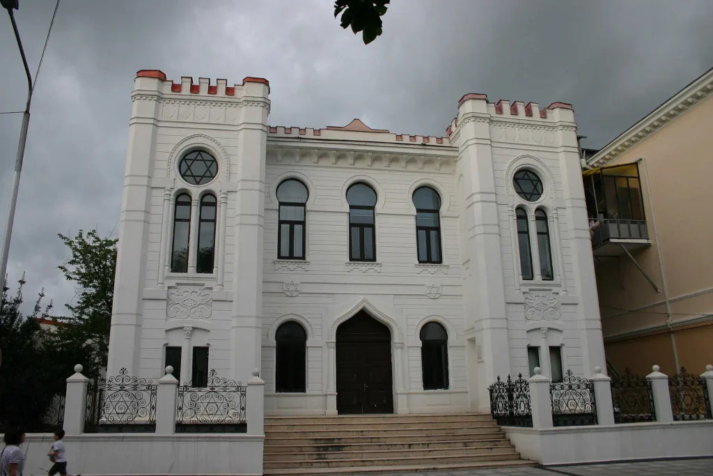
Batumi Synagogue — a synagogue in Batumi, Adjara. Built in 1904 by architect Semyon Vulkovich. At the beginning of the 20th century, local Jews petitioned the then Russian Emperor Nicholas II to grant them permission to build a synagogue. After receiving permission, construction of the “Ashkenazi” (Hebrew) stone synagogue began, which was completed in 1904 under the leadership of architect Semyon Vulkovich. It was an analogue of the synagogues in Amsterdam and The Hague. During the Soviet period, the building was used for various purposes. In 1993, the synagogue was again transferred to the Jewish diaspora.
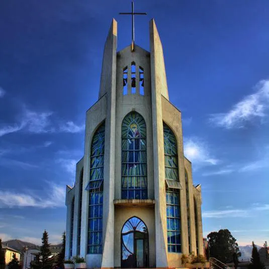
Batumi Holy Spirit Catholic Church – located in Adjara, in the city of Batumi. It was built in 2000 by Catholics from Batumi. The church was consecrated by the Administrator of Transcaucasia, Bishop Giuseppe Pasotto. The Vatican Ambassador to Georgia often visits the church and solemn services are held there.