Samegrelo Region
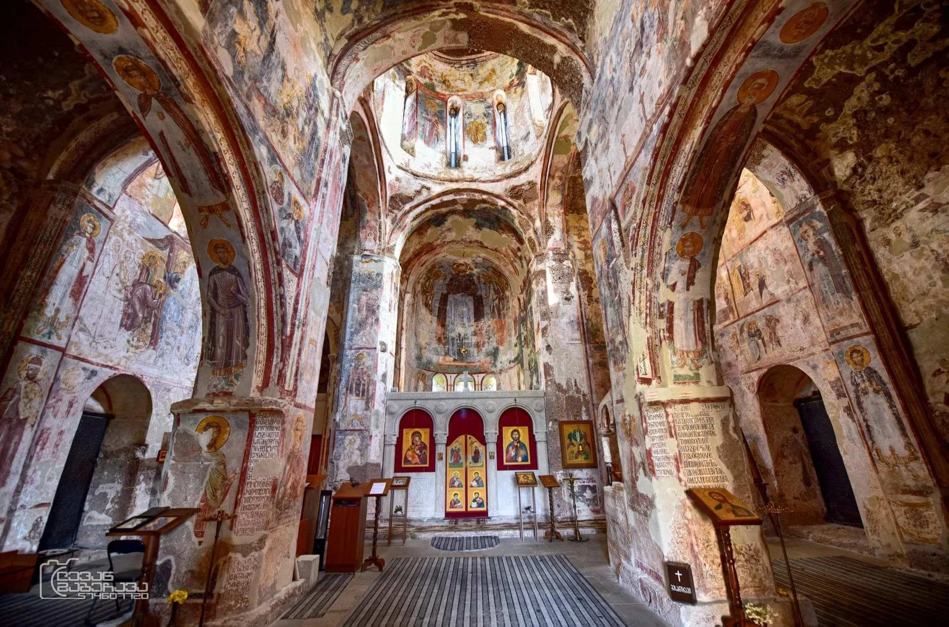
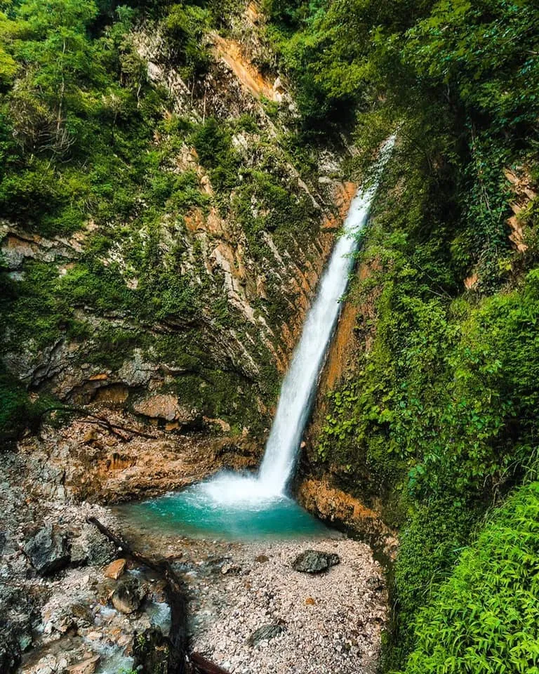
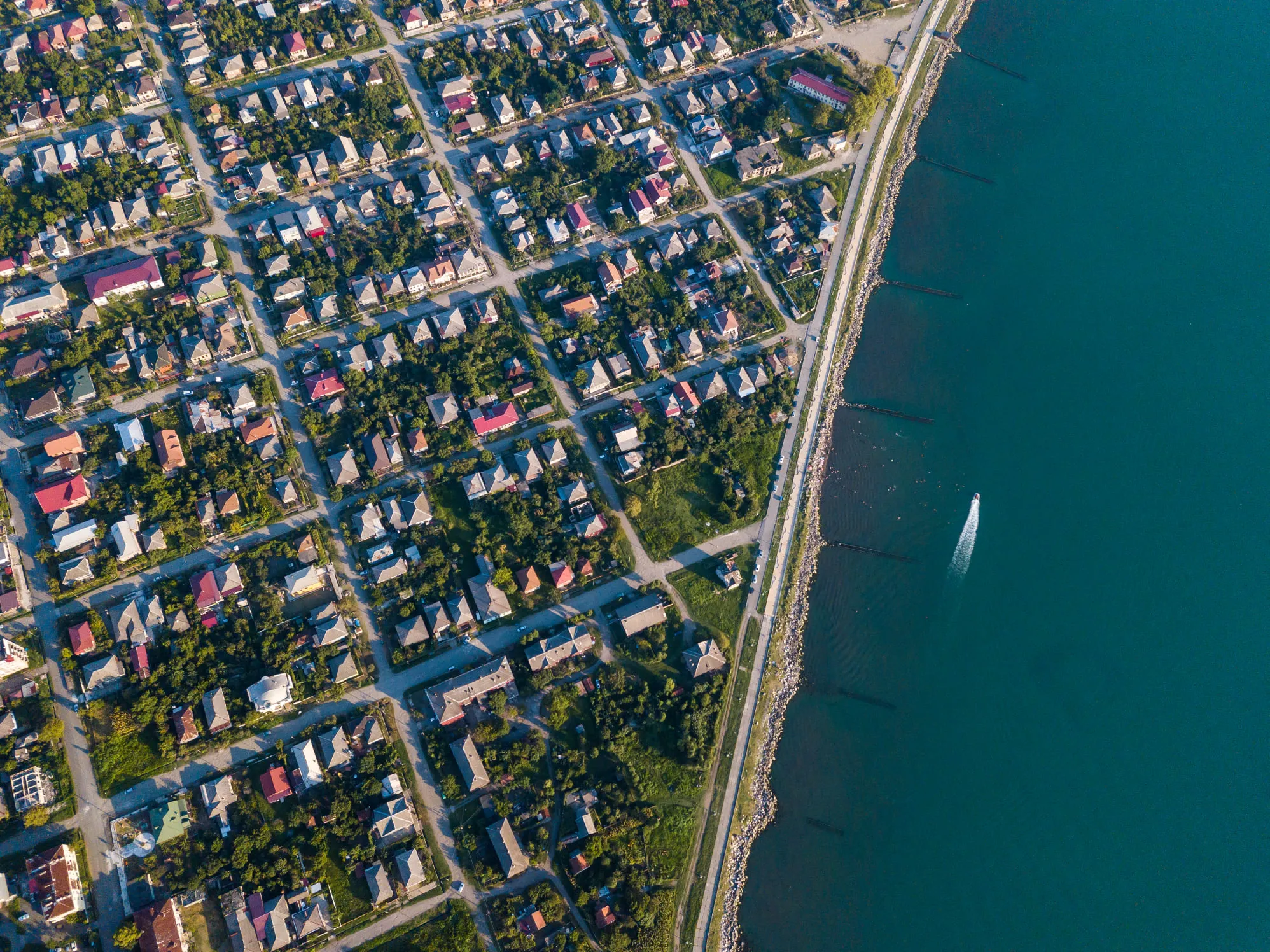
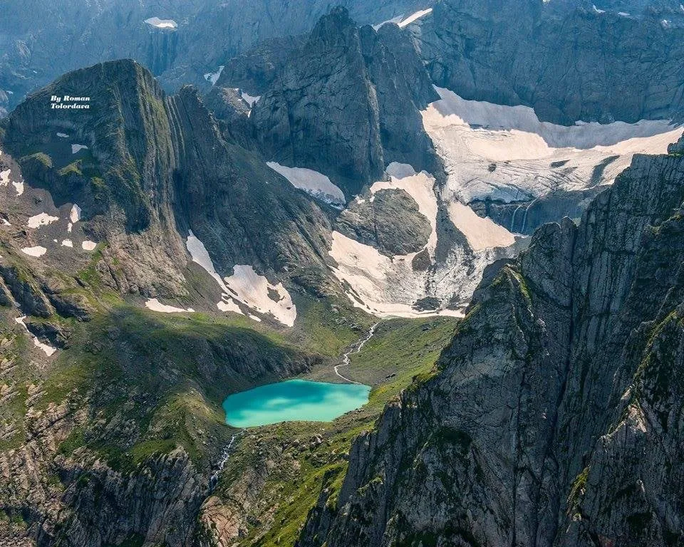
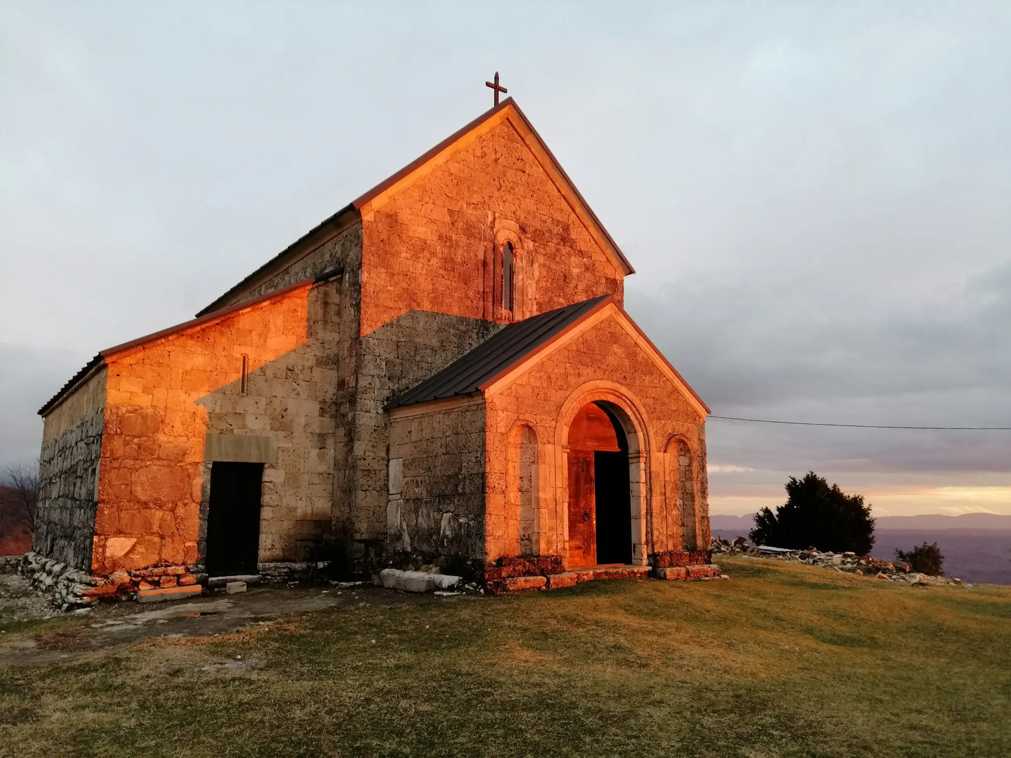

Samegrelo is a lush western region of Georgia, stretching from the Black Sea lowlands up into the foothills of the Greater Caucasus. It’s a land of rivers, subtropical forests, tea fields, and dramatic canyons, where humid lowlands meet cooler mountain air. The region feels green and fertile year-round, shaped by heavy rainfall and fast-flowing waters.
Culturally, Samegrelo is distinct. It has its own language (Megrelian), strong culinary identity, and a history tied to the former Principality of Odishi. Zugdidi is the main city, known for the Dadiani Palace and its botanical garden. Nearby highlights include the Enguri Dam, Martvili and Balda canyons, Tobavarchkhili Lakes, and remote mountain villages. Spicy food, warm hospitality, and raw nature make Samegrelo one of Georgia’s most atmospheric regions to explore.

Abasha Municipality
Abasha Municipality is located in Samegrelo. It is distinguished by its ancient history and natural beauty. Traces of human life in Abasha date back to ancient times, and a variety of archaeological materials and Bronze Age settlements have been discovered here.
Abasha Municipality is located on the Kolkheti Plain. It is located at an altitude of 20-50 meters above sea level. The administrative center of the municipality is the city of Abasha. The district is bordered by Martvili Municipality to the north, Samtredia and Khoni to the east, Samtredia and Lanchkhuti to the south, and Senaki to the west.
The municipality is distinguished by its abundance of cultural and historical monuments and natural beauty. The territory of the district is flat and lowland, there are no high mountains or large waterfalls, but lovers of wandering in nature will definitely find attractive places for travel and adventure.
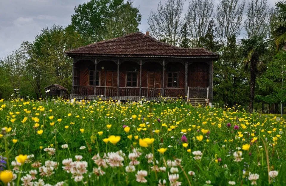
Konstantine Gamsakhurdia House Museum is located in the village of Dzveli Abasha, Abasha Municipality, Samegrelo. It was founded in 1987. The museum houses materials belonging to famous Georgian writer Konstantine Gamsakhurdia (1893-1975). There are memorial things, writer’s works in Georgian, German, Ukrainian, Russian and English languages, manuscripts, correspondences, photos etc. Konstantine Gamsakhurdia, in addition to his significant prose work, made a great contribution to the development of Georgian criticism, journalism, essayism, poetry, translation art, and historical and philosophical sciences.
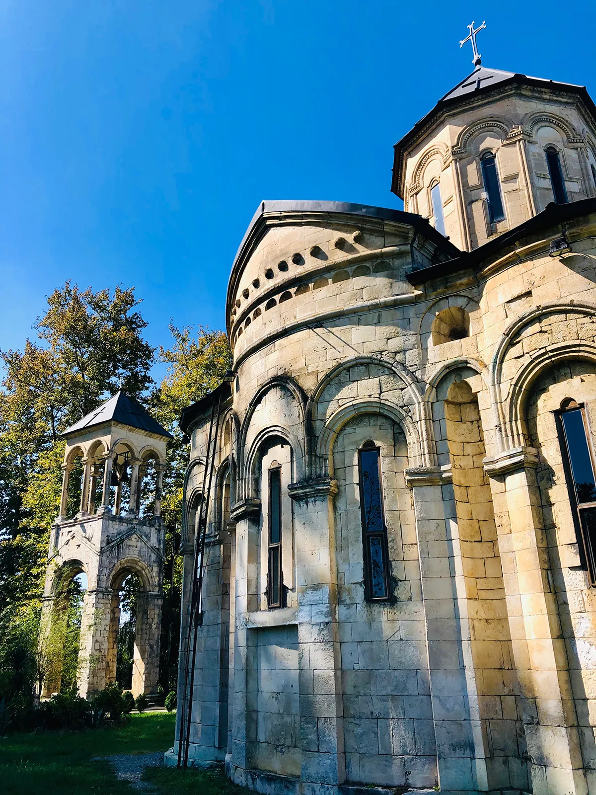
Sujuni Church
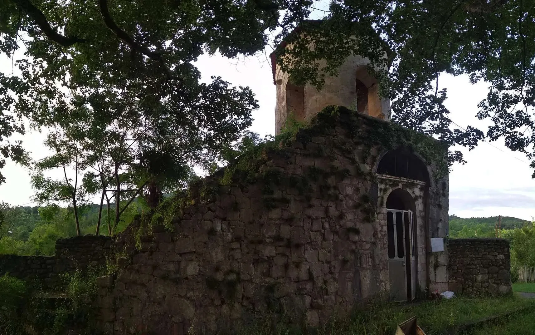
The Church of St. George of Sujuni is located in the village of Sujuni, Abasha Municipality, Samegrelo Region. It was built at the end of the 18th century by Anton Chkondideli. Sujuni was the winter residence of the Chkondideli family. The church had many serfs and had a large income. Many valuable icons and crosses have been preserved in the Sujuni Church. The temple is a domed building, with a three-bay apse in the east (for the altar and pastoforium). Both the facades and the dome are decorated with arches. The entrances have carved lintels. The church is built of white hewn stone. To the south of the church is a two-story high bell tower built of the same stone. Both floors of the bell tower are open on four sides with arches.
Katsoburi National Park – is located in the southwestern part of the Abasha municipality. The total area is 295 hectares. The territory of the national park is mainly flat – its maximum height does not exceed 40 meters above sea level. Alluvial loam-sandy soils are mainly widespread here, humus loam-silty soils are found in small areas. The Rioni River flows through the territory of Katsoburi National Park.
View on mapGuleikari
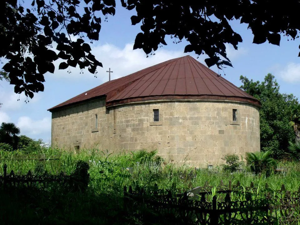
The Church of St. George of Guleikari is located in the village of Guleikair, Abasha Municipality, Samegrelo, Georgia. It dates back to the late feudal period and was probably built on the site of an older church. The church is a hall-shaped building with a semicircular apse in the east. The facades are plain, undivided, only small reliefs are included, which do not play a significant role in the overall artistic solution. The building has very wide proportions. There are two entrances – from the west and south. The church is built with cleanly cut squares.
View on map
The Church of the Archangel of Sepieti
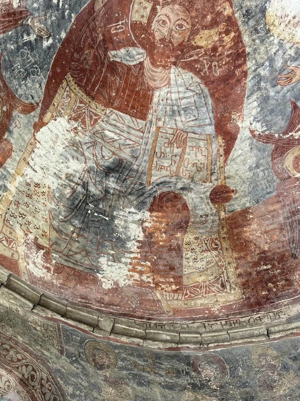
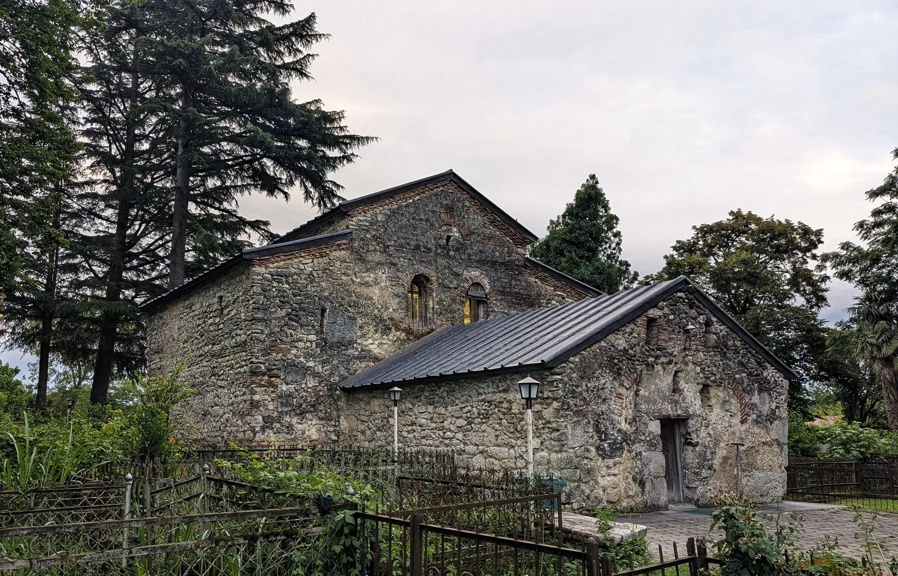
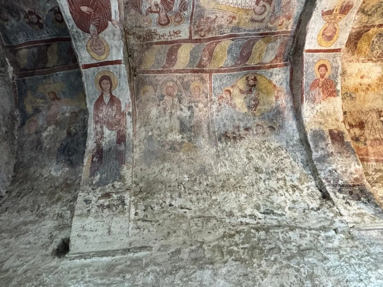
Is located in the village of Sepieti, Abasha Municipality, Samegrelo, Georgia. It dates back to the 5th-6th centuries. The church shows signs of later reconstruction. The church is a three-nave basilica with a vaulted apse. The central nave is slightly higher than the side naves, and is almost three times wider than them. The central and side naves are separated by a two-story arch supported by three massive columns. The side naves were two-story. The eastern ends of the naves are square rooms separated by arches. The central nave is surrounded by a horizontal belt at the level of the patronage floor, and the apse conch also has a similar belt. The interior has preserved paintings from the late period. The church has an elongated stained glass window from the late period to the west. The church currently has three entrances – from the west, south, and north. The western and northern entrances are original, while the southern one was cut later. The facades are intact. The church is built in a mixed layout.
View on map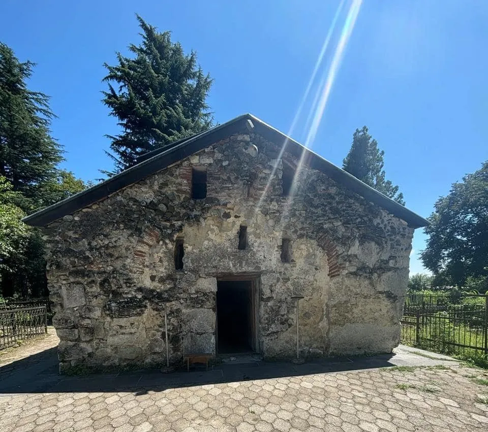

Akaki Khoshtaria Palace
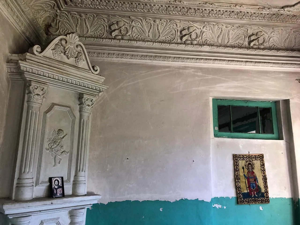
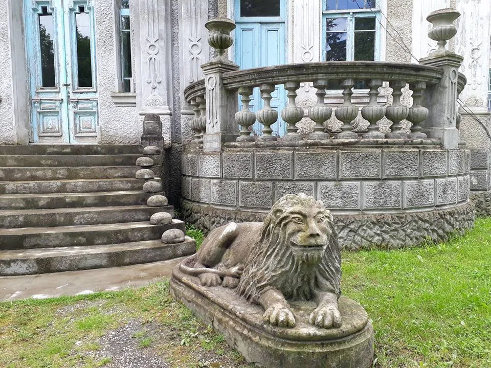
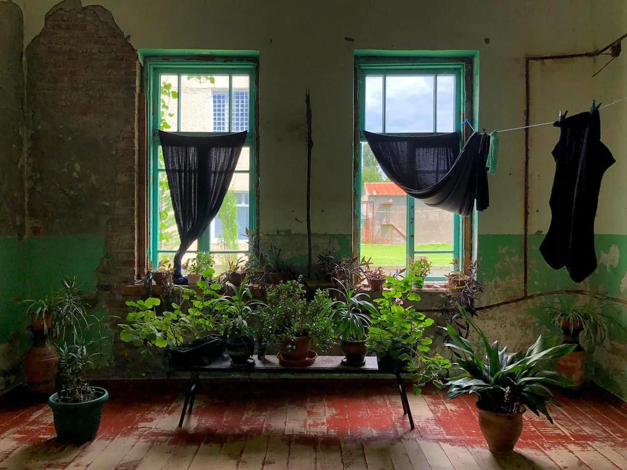
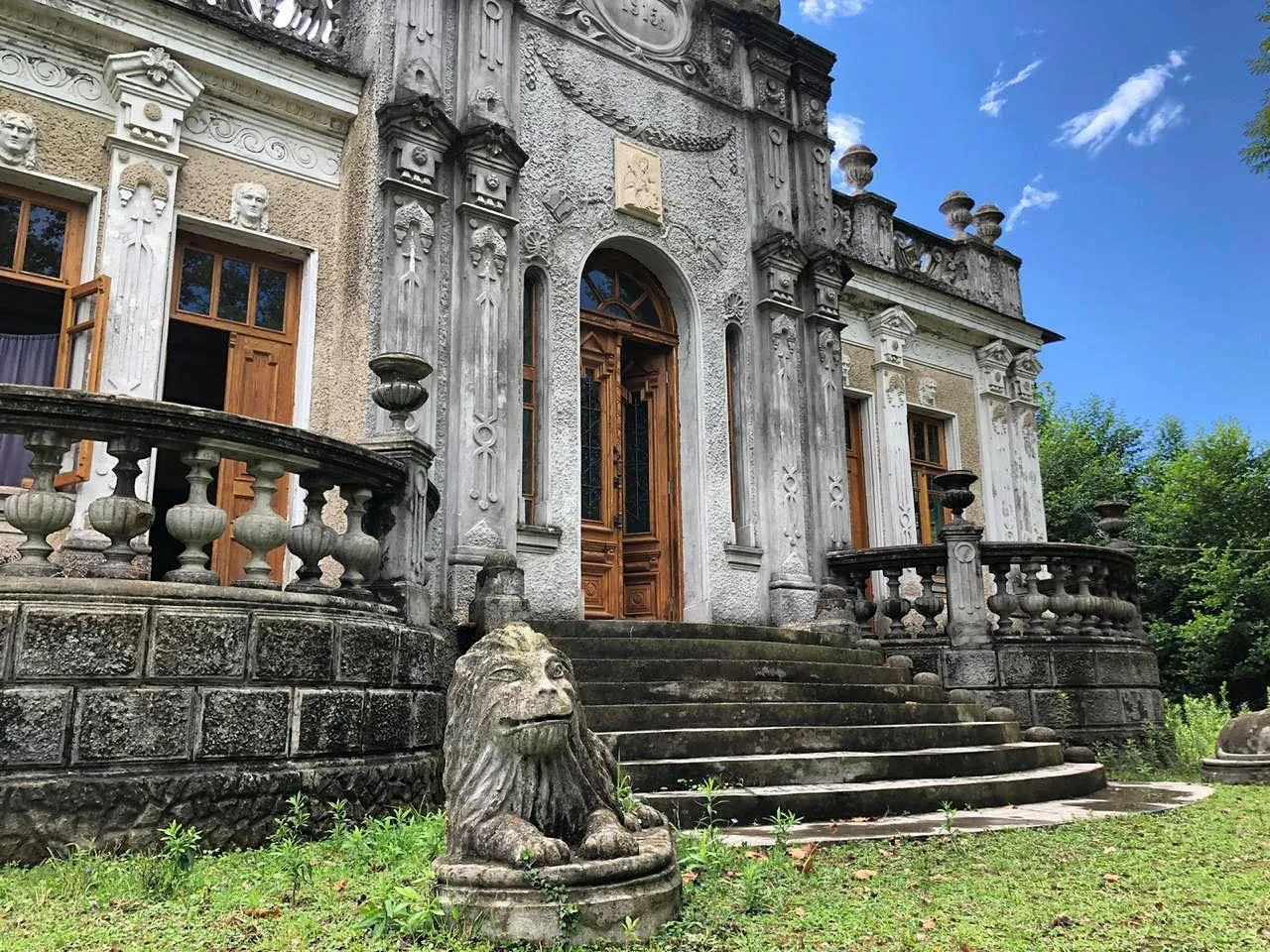
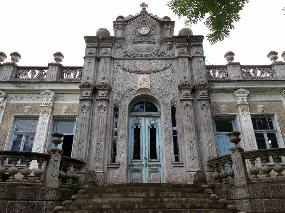
Is an architectural landmark, a monument of cultural heritage of Georgia in the village of Sujuna, Abasha Municipality. The building was built in 1915 by the famous businessman and public figure Akaki Khoshtaria as his own house. During the Soviet period, a school was located here.
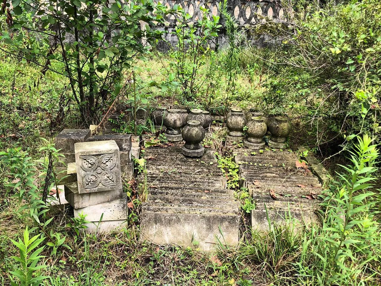
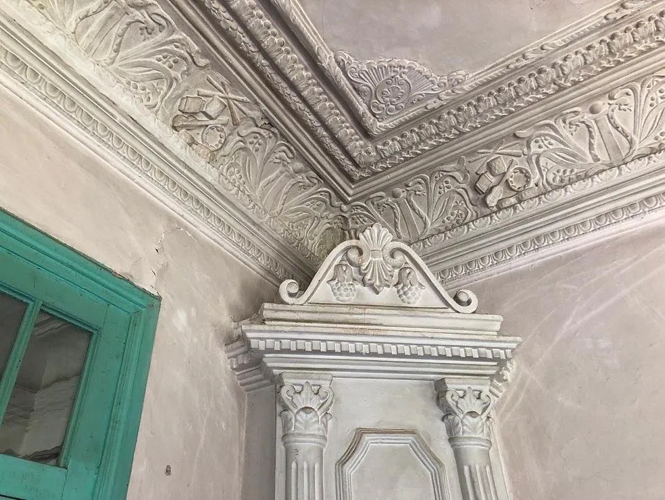
The building is one-story. It stands on a 1-meter-high foundation of well-hewn stone squares. The building material is brick on a lime mortar. Plaster is used as the second layer. The palace has one entrance from the north and two from the west. The entrance has well-hewn stone steps on all sides. The house has four windows from the north, six from the west, four from the south, and eight from the east. The corners of the palace are carved with brick carvings, and then plastered with plaster. It has a tin roof. The roof cornice is made of thin planks and shingles, the plaster of which is also decorated with carvings. On various sections of the facade, there are plaster depictions of female and male heads.
View on map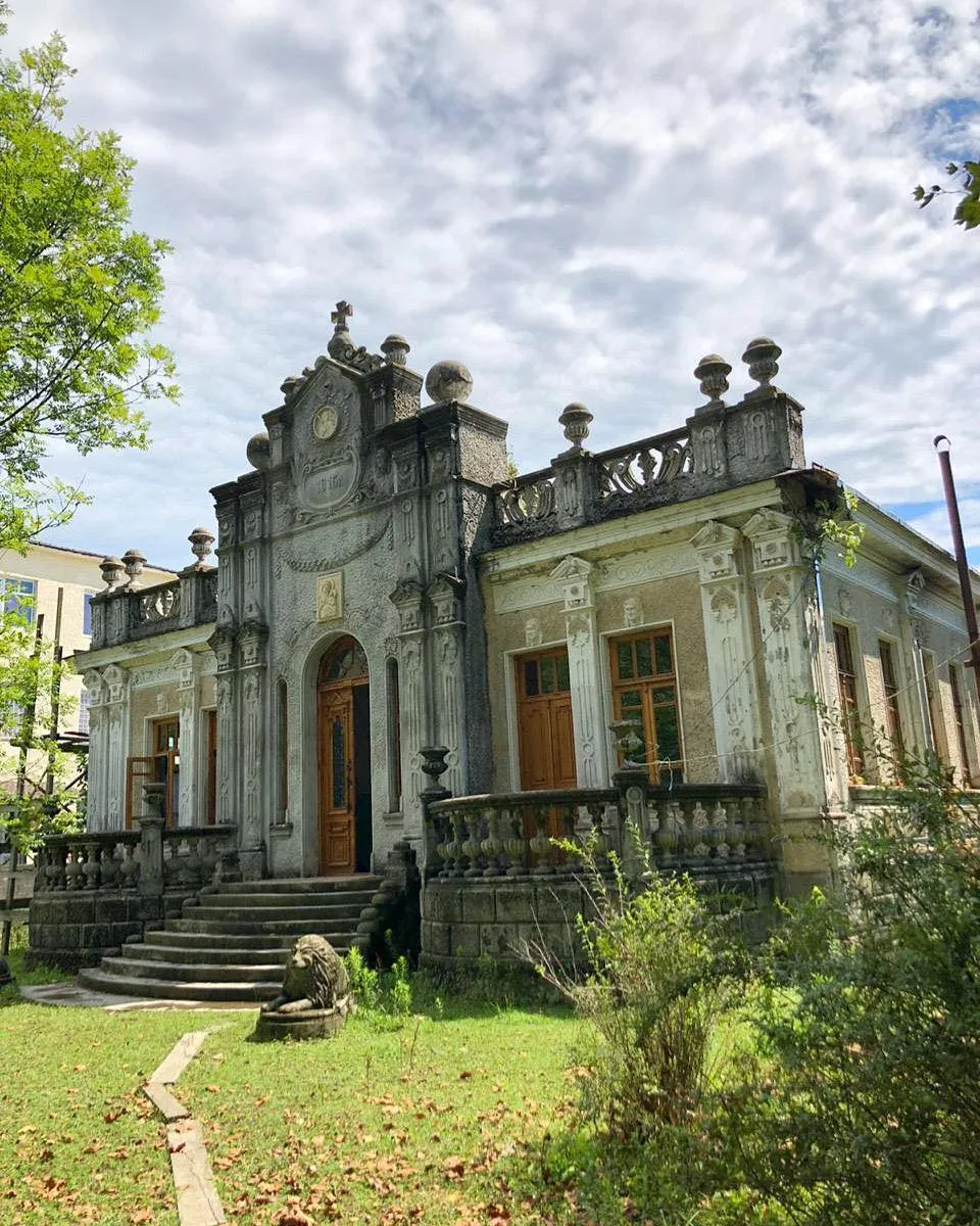

Senaki Municipality
Senaki – a city and municipality in western Georgia, Samegrelo-Zemo Svaneti region, the administrative center of Senaki Municipality. It is located on the Kolkheti Plain, on the right bank of the Tekhuri River, 28 meters above sea level, 288 km from Tbilisi. Senaki has a humid subtropical maritime climate. The maximum precipitation falls in summer-autumn. It has mild, warm winters and hot summers.
The urban-type settlement founded on the territory of Senaki was originally called New Senaki/Akhalsenaki. In 1933, it was named Mikha Tskhakaia in honor of the Georgian Soviet revolutionary and politician, and since 1976, Tskhakaia (without the epithet). In 1989, the old name “Senaki” was returned to the city.
According to legend, in the Middle Ages, small rooms for clergy or merchants were built near the present-day Church of the Nativity of the Savior in Old Senaki, from which the name of the place is likely derived. According to the Italian missionary and traveler Arcangelo Lambert, the name “Senaki” may be related to the ancient Greco-Roman name of the Tekhuri River, Sinagpi/Singame.
In 1871, the construction of the Poti-Tbilisi railway began. For various reasons, it was decided to build a railway station on the territory of Teklati, the present-day city of Senaki. It was the construction of the station that led to the emergence of an urban-type settlement in a new place, which soon took the advantage of the old Senaki.
In the 1930s, the balneological resort of Menji began to develop near Senaki. During the same period, a strategic military air base was built near Senaki. Today, the 2nd Infantry Brigade of the Georgian Armed Forces is deployed in this territory. At the same time, cultural and educational institutions were opened in Senaki.
The years following the collapse of the Soviet Union turned out to be especially difficult for Senaki. It was Senaki that became one of the epicenters of the civil war of 1991-1992. As a result, the city was looted and bombed several times. Most of the factories operating in Senaki ceased to function and were abandoned. The resort of Menji was destroyed. Active cultural life was disrupted.
The city’s population also suffered from difficult economic conditions; a large part of the population fled to the capital of the country and abroad.
Senaki was bombed several times during the Russian-Georgian war (2008).
Due to its favorable geographical location, several state-important highways cross Senaki. Georgian Highway S1 passes through Senaki. Senaki connects the city of Poti, Chkhorotsku and Martvili municipalities with this highway. At the same time, Senaki is a connecting node of the Poti-Tbilisi and Zugdidi-Tbilisi railway lines.

Senaki Theater
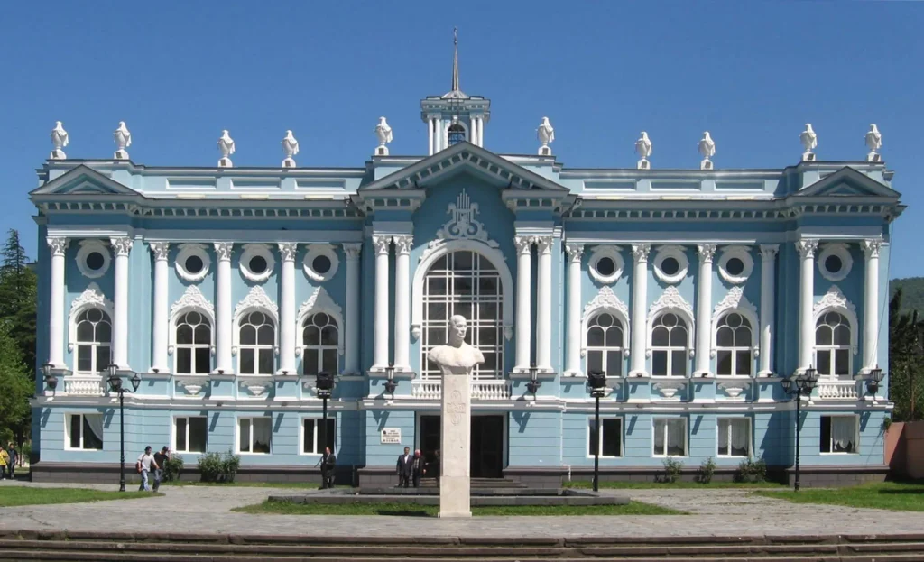
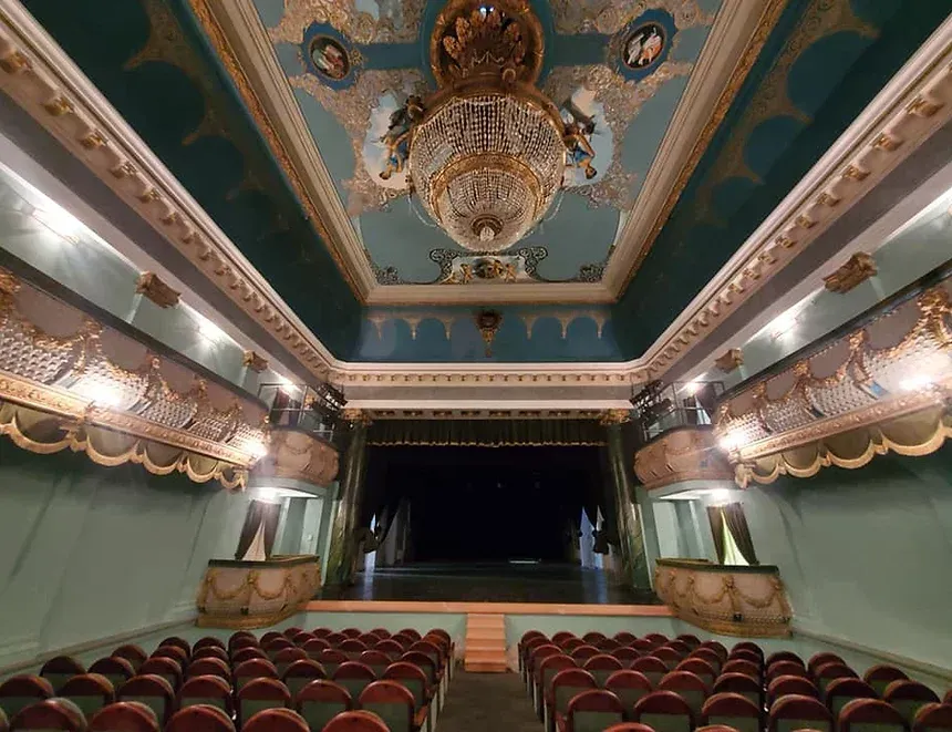
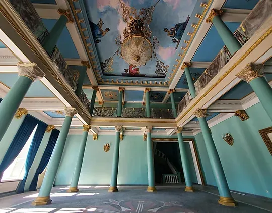
Senaki Akaki Khorava State Drama Theater – in the city of Senaki, Samegrelo. The architect of the theater building is Vakhtang Gogoladze. It is built in the Neo-Baroque style with elements of Classicism. The same architectural style is repeated by the Senaki Railway Station building, the Art School (currently the Zhiuli Shartava Museum) and the so-called Railway Hospital building. The building is built on the central square of Senaki, and is rectangular in plan. The building is three-story, with the auditorium occupying the central area. It is shaped like an elongated rectangle and can accommodate 500 spectators. The ceiling of the vestibule and concert hall was painted in 1980 by Dimitri Barkaia.
Senaki Museum
On November 27, 2004, on the 60th anniversary of the birth of the national hero of Georgia, an outstanding Georgian statesman and politician, Zhiuli Shartava, the museum named after him was opened. The museum exhibits photographs and memorial materials depicting the life and work of Zhiuli Shartava. The museum is engaged in wide propagation of the life and work of Zhiuli Shartava and the soldiers from the Senaki municipality who died in the Abkhazian conflict. The museum’s fund currently consists of 137 exhibits. The majority of the exhibits were donated by the Zh. Shartava Foundation, his family, as well as individuals.
Old Senaki Church
The Old Senaki Church of the Nativity of the Savior is located in the village of Old Senaki, Senaki Municipality, Samegrelo. It dates back to the 19th century. The church was originally a large basilica, and was later rebuilt into a domed building. The church has four arched windows on each of the four sides. On the facades are found Golgotha crosses obtained by indenting the plane. The dome is octagonal and has eight windows, which are set in arches. The church has three entrances – west, south and north, all three entrances are rectangular. The church is built of brick.

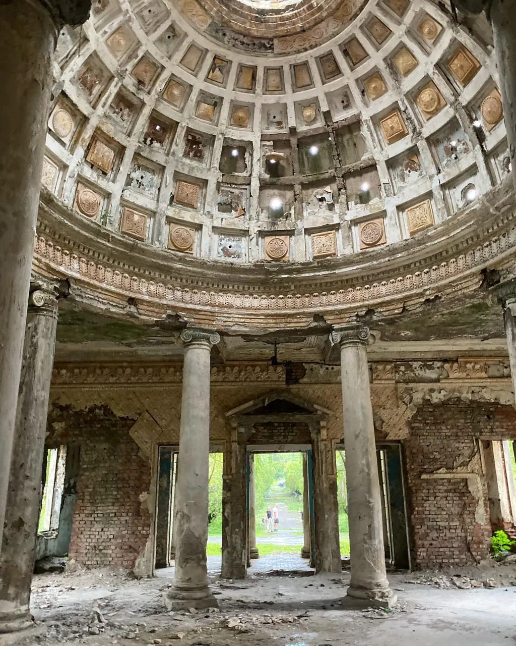
Menji — balneological resort in the Senaki municipality of the Samegrelo-Zemo Svaneti region, in the Tsiv River gorge, 29 m above sea level. The climate is subtropical, mild, with mild snowless winters (average January temperature 5.2 °C), very warm, moderately humid summers (average August temperature 23.0 °C), relative humidity -73%; annual precipitation — 1480 mm, duration of sunlight 2160 hours per year. The main healing factor is hydrogen sulfide chloride-sodium mineral water, which is used for baths for some diseases of the joints, peripheral nervous system, gynecological and cardiovascular systems. There is a sanatorium in Menji, a sanatorium-type railway hospital, and a resort polyclinic. Season — all year round.
View on map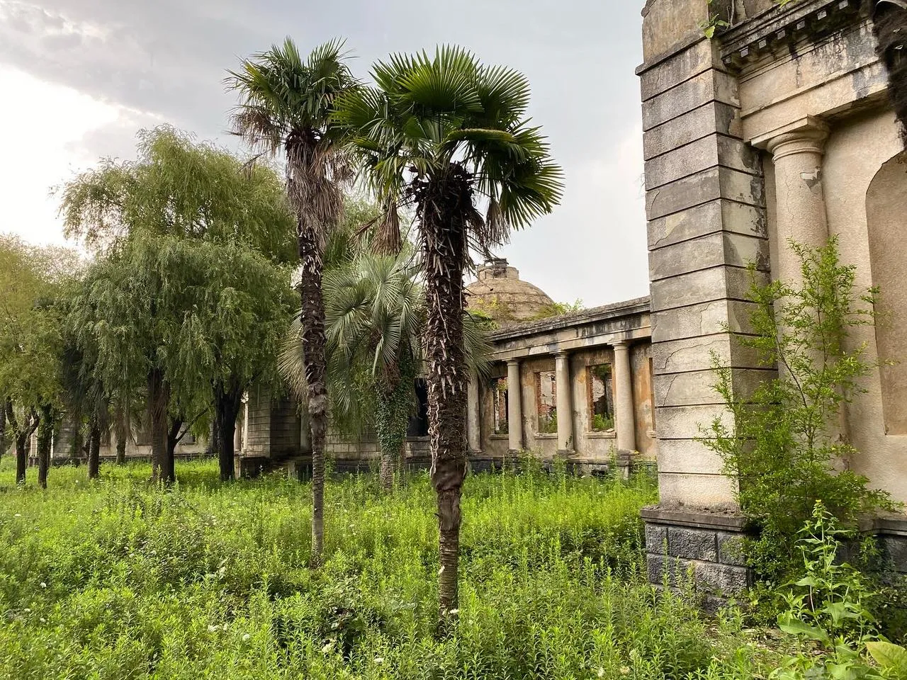
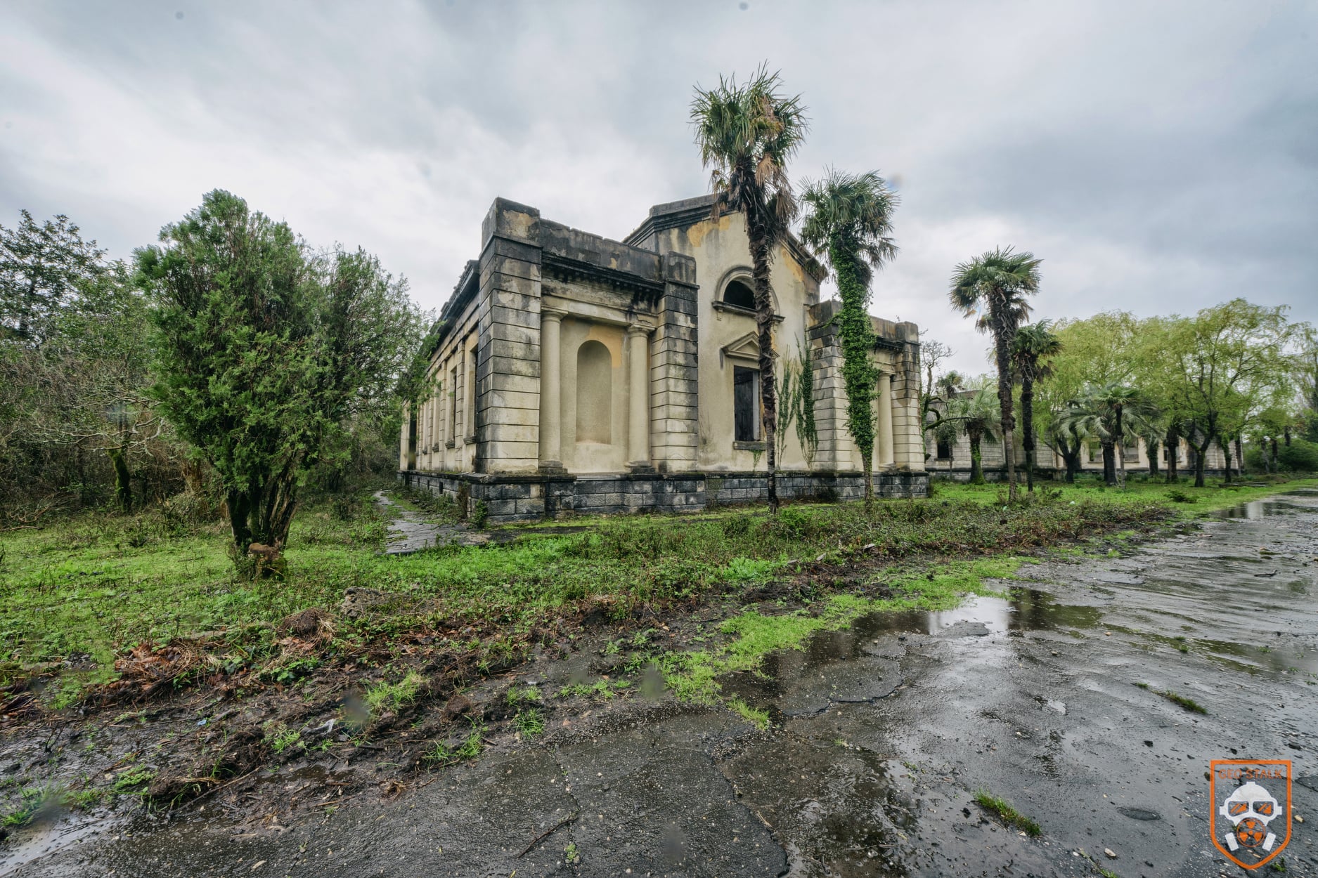

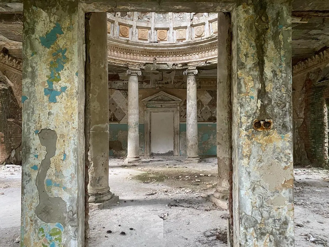

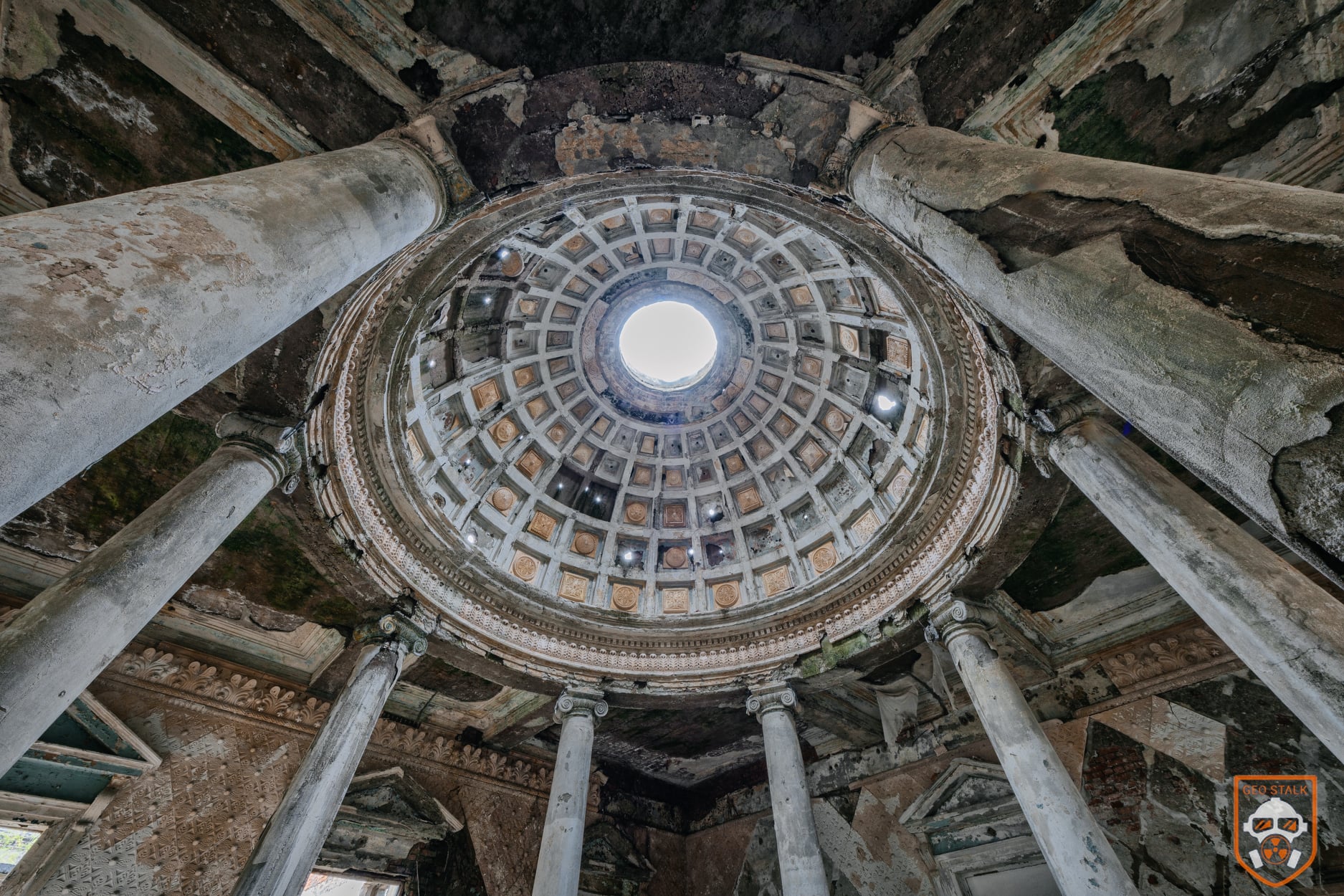
Shkhepi Fortress
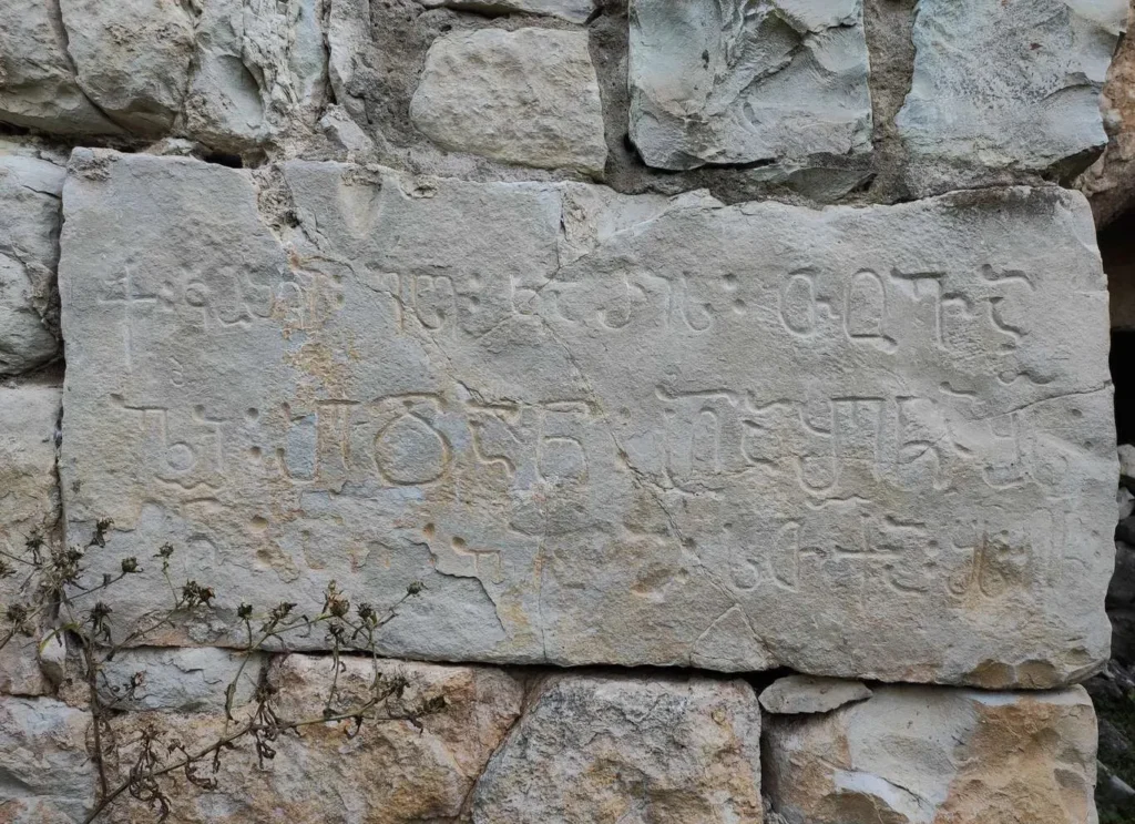
Is located in Samegrelo, near Senaki. Four construction layers can be distinguished on the monument, the earliest of which dates back to the beginning of the 4th century, and the latest – to the 16th-17th centuries. It was an important fortress in the 4th-19th centuries, and for some time it was also the residence of the Dadiani family dynasty. The history of Shkhepi Fortress dates back to the founding of the Egrisi Kingdom and it was one of the links in the general chain of defense of the kingdom. There are no written records of the early period of Shkhepi Fortress, there are two records from the later centuries, when the fortress belonged to the Dadiani family, the owners of Samegrelo.
The Shkhepi fortress is elongated in plan. It includes two gates, three towers, a small hall church, a reservoir and a wall. The southern side of the fortress is flat, the other sides are easily accessible, so it was surrounded by a deep and wide ditch. The thickness of the wall of the fence is of different sizes and ranges from 180-150-120 cm. Two towers have survived inside the fence. One tower is cylindrical and is built into the southeastern corner of the fence, the second tower has the shape of a four-sided pyramid and is built into the wall on the northern side of the fence. The fortress has only one, narrow access road from the northwest, and the entrance was also arranged from here.


Teklati Monastery
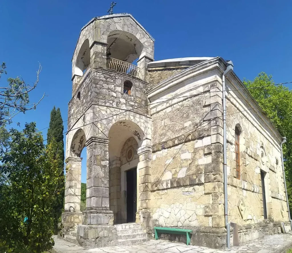
Is located in Samegrelo, near the city of Senaki. It dates back to the 19th century. The monastery operated a school for women named after St. Nino and a printing house. The monastery printed religious literature at its own expense and distributed it to the people. The building is a three-nave basilica with a pointed apse. The church has two narrow windows in the north, two in the east, and three in the south. The interior is completely painted. Relief rhombuses and simple friezes can be found on the facades. A three-story bell tower has been built to the west of the church, the first floor of which serves as a gate. There are three entrances – from the west, south, and north. The church is built of well-cut mixed stone. The church is surrounded by a fence built of cleanly cut stone.
View on map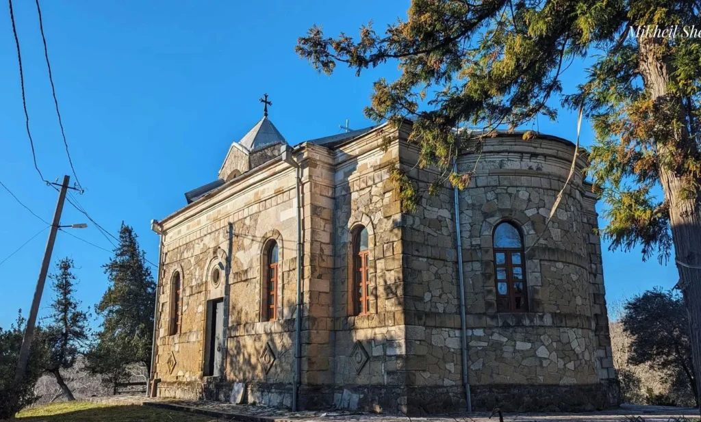
Eki Monastery Complex
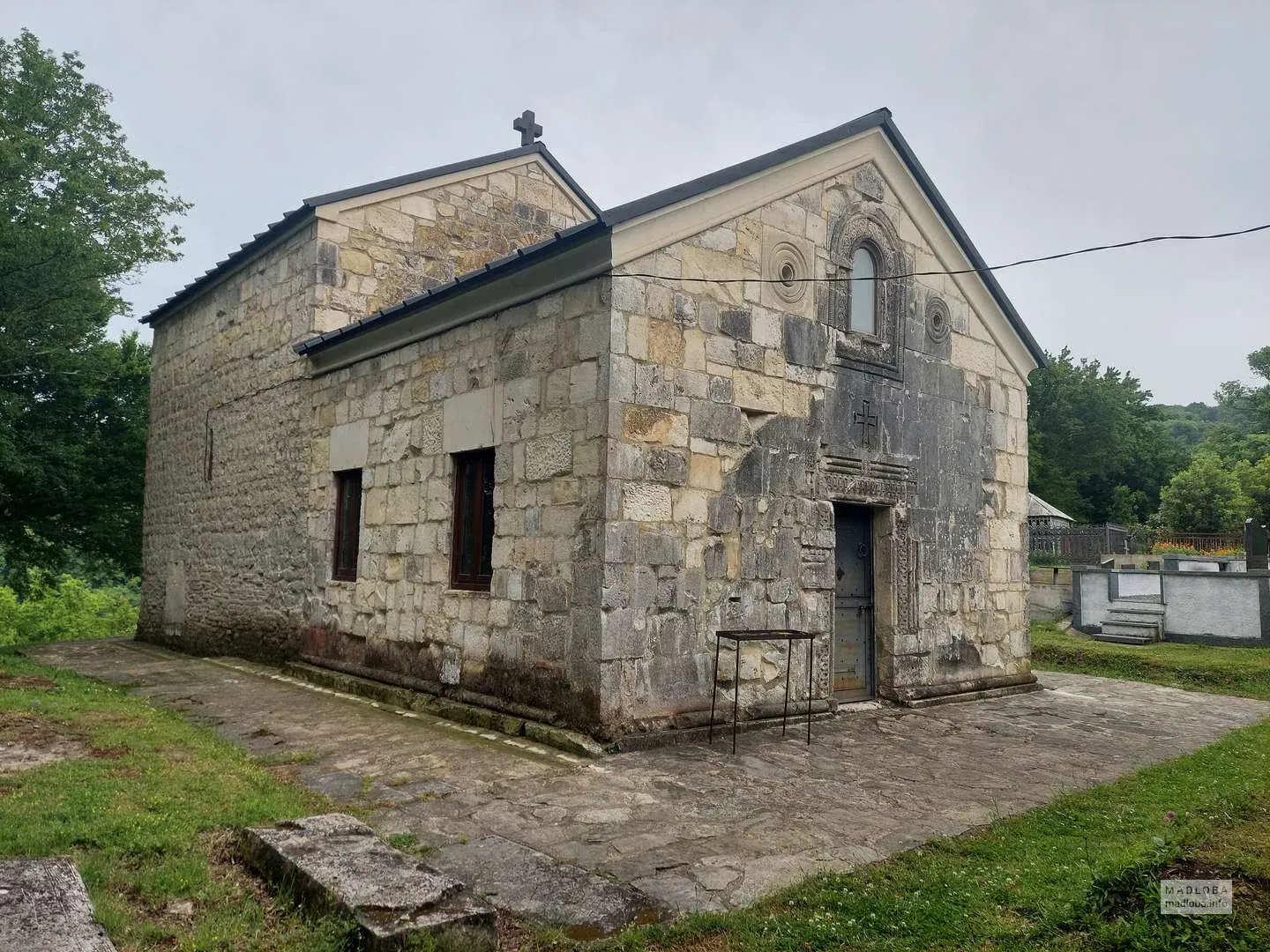
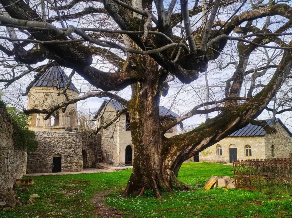
Is located in the village of Eki, Senaki Municipality, Samegrelo Region. It dates back to the 10th-11th centuries. The monastery complex includes a church, a bell tower, a palace, a fence, a prison and other buildings. The church is a hall-like structure with a semicircular apse inscribed in a rectangle to the east. The temple is divided into two parts – the western part is lower than the eastern part, with an apse. The first part is separated from the second by a wall resting on two pillars. The hall is covered with a vault. Fragments of painting have survived in the interior. The western part of the temple is illuminated by two windows cut into the southern and northern walls and one in the western wall. The windows have ornamented lintels. The entrance is from the west, which also has a carved lintel. This part of the temple is earlier, compared to the eastern part. The eastern part is illuminated by a window cut into the southern, northern and eastern walls. To the northwest of the temple stands a two-story bell tower, which dates back to the 13th-14th centuries. Its first floor is a volume approaching a square in plan, and the second floor is a window opening with eight arches, circular in plan. Ornamental reliefs are placed on the walls and columns of the bell tower. A stone-built crypt is located to the north of the bell tower, which could be accessed through a hole made from above.
View on map
Kotianeti
The Church of St. George of Kotianeti is located in the village of Kotianeti, Senaki Municipality, Samegrelo, Georgia. It dates back to the 19th century. The church is a hall-shaped building with a semicircular apse on the east. There are three windows in the apse, and one in the west, south, and north walls. There are three entrances – in the west, south, and north. All three entrances are architraves, and above them are images of Bolnuri crosses. The church is built of quarried stone, with cut squares used at the windows, entrances, and wall intersections.
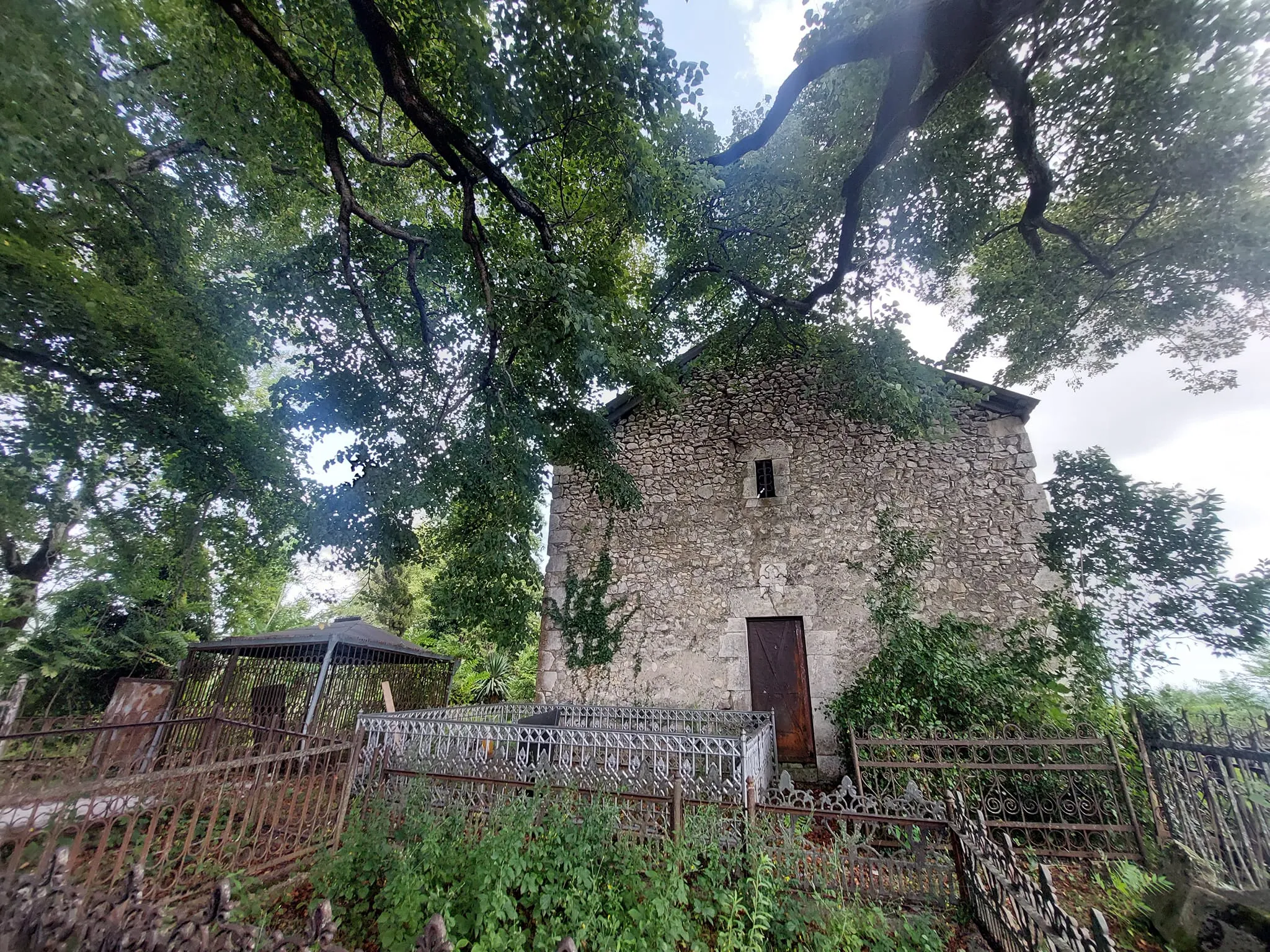

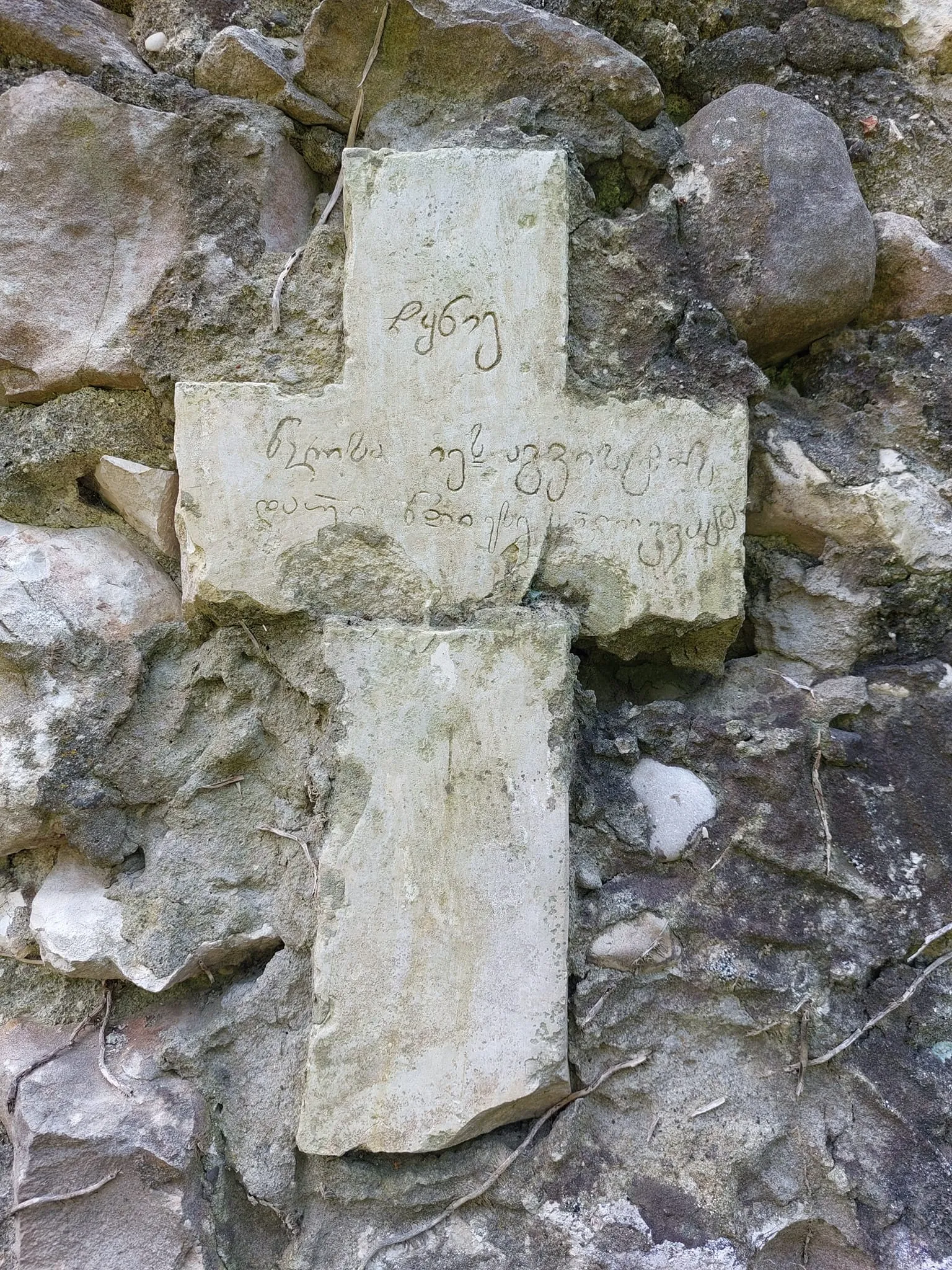
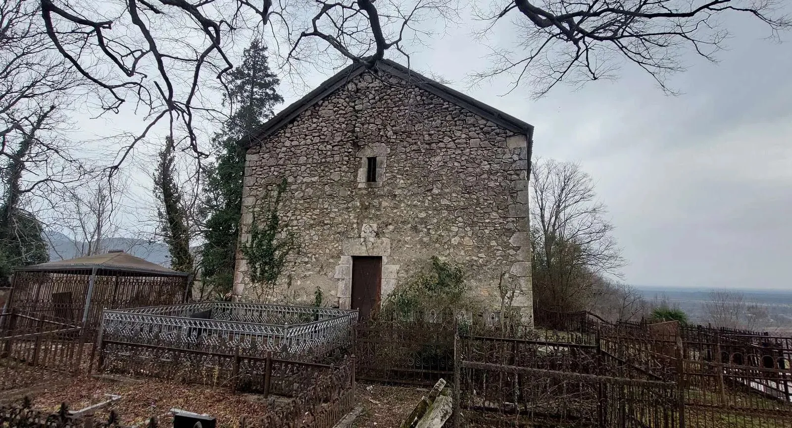
Nokalakevi
Nokalakevi (Tsikhegoji; Archeopolis) is one of the most important monuments of early medieval Georgia, located in western Georgia, 17 km northeast of Senaki. The city is located on the left bank of the Tekhuri River, where the river emerges from a rocky gorge and sharply turns east. As a result, the river borders the city on three sides.
In the past, an important Georgian city was located in this place. Roman and Byzantine historians referred to it as Archeopolis, although in earlier Georgian chronicles it is called Tsikhegoji (Kujis Castle). According to historical sources, it was built by the Egrisi eristavi Kuji (beginning of the 3rd century BC). The construction of the fortress-city was due to strategic considerations and the large population. Tsikhegoji was the capital of the Kingdom of Egrisi (Lazika) in western Georgia in the 4th-8th centuries. The Lazic Wars (542-562) between the Byzantine and Persian empires took place in the vicinity of this city. The Battle of Archeopolis took place here. During the war, the Persians attacked Tsikhegoji three times and only managed to capture it the third time (554), although the city soon fell to Byzantine-Lazic forces. In 737-738, the city was destroyed by the Arab commander-in-chief Murvan ibn-Muhammad (Murvan the Deaf). As a result of constant destruction and desolation, Tsikhegoji declined and turned into a small village. The village flourished again (relatively) in the 16th century, when the prince of Samegrelo built his own palace here. In the 16th-18th centuries – the residence of the rulers of Odisha – the Dadiani dynasty.
View on mapNokalakevi Church
Nokalakevi Forty-Martyrs Church is an architectural monument located in the village of Nokalakevi, Senaki Municipality, Samegrelo-Zemo Svaneti Region. The church is located in the central section of the lower terrace of Nokalakevi. The western facade of the church is simple. It is covered with a two-tone roof. The church was spread out on a west-east axis. The northern and southern naves were separated from the central nave by four columns each. The church had a central entrance from the west, and two more doors were built into the southern wall. The church was supposed to have been renovated in the 9th century. In the 16th century, the Dadianis renovated the church and painted its interior.
View on map

Sulfuric Springs
Nokalakevi Sulfuric Springs are located in the Senaki Municipality of Samegrelo, near the Nokalakevi Museum-Reserve. Here, sulfuric hot water with healing properties flows and creates beautiful travertines and a waterfall with a waterfall. This place is called Dedamoka (Pregnant Mother). According to legend, a pregnant woman fleeing from a horde jumped into the water here, could not reach it and turned into stone. The surroundings of Dedamoka are also distinguished by the beauty of nature. At the Nokalakevi Sulfuric Springs, you can enjoy hot, healing baths in beautiful nature and relax.
View on map
Martvili Municipality
Martvili Municipality is located in Samegrelo. It is distinguished by its ancient history and diverse nature. Traces of human life in the region date back to ancient times. The old name of Martvili is Chkondidi, which is associated with the pagan cult oak (chkoni) tree. It was a developed settlement even in the Middle Ages, which is evidenced by, in addition to historical sources, ancient temples and fortresses preserved in the region.
The southern part of the region is located on the Odishi plain, and the central and northern parts are located on the foothills of the Egrisi Gedi mountain range and its southern slopes. Its administrative center is the city of Martvili. Martvili is bordered by Lentekhi Municipality to the north, Khoni and Tsageri to the east, Senaki and Abasha to the south, and Chkhorotsku to the west. The highest point of the municipality, the Tekhura headwaters, is located at 3003 meters above sea level. The Tekhuri and Abashistskali rivers flow into Martvili. The southern part of the municipality occupies the plain and foothills of the Kolkheti Plain, while the northern half is mountainous. The Askhi massif, which is rich in karst caves, waterfalls, mineral deposits and building limestone, runs along the territory of the district to the southwest.
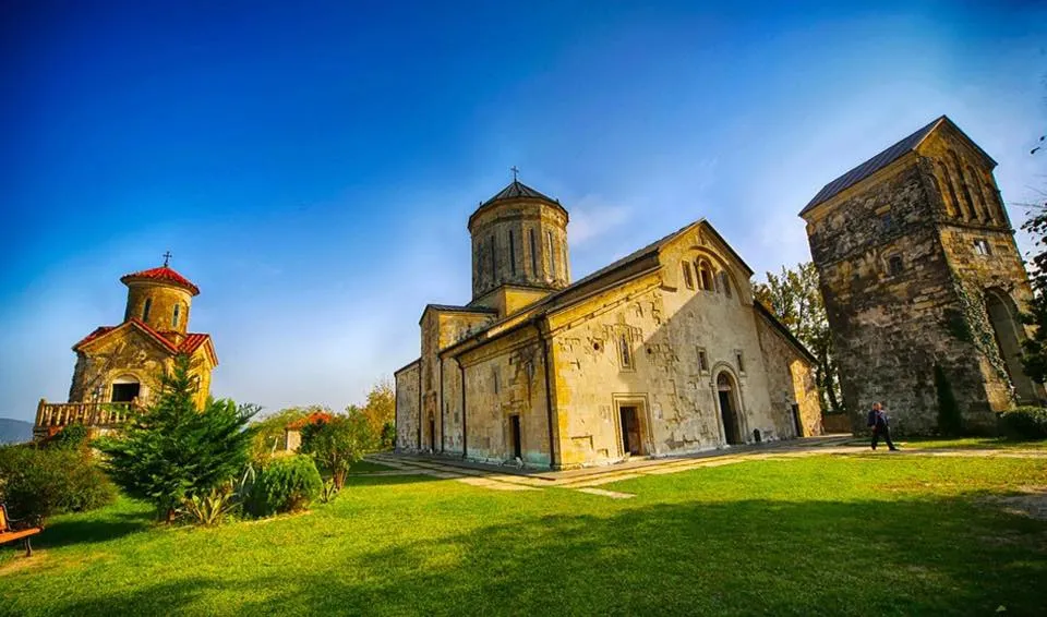
Martvili Monastery Complex – an early medieval Christian church and monastery complex in Martvili, Samegrelo. The monastery complex is located near the center of the city of Martvili, on a high hill in a convenient geographical and strategic location. At the foot of the mountain, the fields of the Tskhenistskali River and the Abashi River spread out widely. Almost the entire Imereti and Samegrelo can be seen from the monastery. It is surrounded by a fence. The main temple is dedicated to the Assumption of the Virgin Mary. The Megrelian name Chkondidi comes from the “big chkoni” – a large oak. In the past, the high hill of Chvenia, on which the monastery is now erected, was adorned with thousand-year-old “chkoni” (oak) trees. The buildings included in the Martvili monastery complex are: a wall, a rectangular enclosure, the main church, the Chikvani Church, and a bell tower.
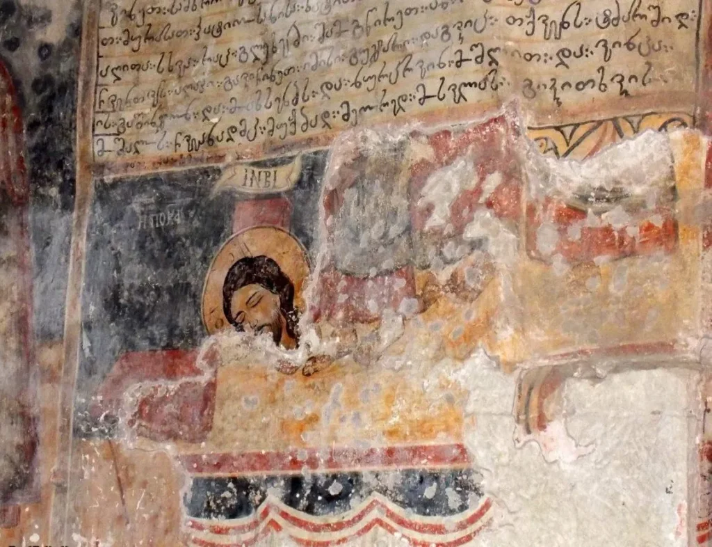
In the Middle Ages, Martvili was a large cultural and educational center, where many famous scribes worked and many unique manuscripts were kept. The central church is cross-domed. The facades of the church are carved. Figures and plant ornaments create a single picture and depict scenes from the Old Testament and the Gospel. The church has preserved paintings from the 14th-16th and 17th centuries. Next to the main church is a two-story church from the 10th century.
View on map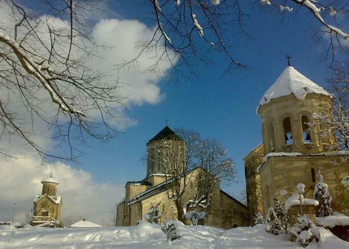
Cable car in the center of Martvili, connecting the city of Martvili with the Martvili Monastery. The cable car was rehabilitated in 2013. The Martvili pendulum-type, two-rope, single-track cable car was designed by the Saxpectrans Institute. The author of the project: Vakhtang Lezhava. It was put into operation in 1985. It has one intermediate support, and the lower station serves as the tensioner for the drive and carrying rope. The cable car is operated by a standard 12-seater Tbilaviamsheni car. In 2013, it was reconstructed and the lower station was covered with glass. In 2019, the cable car underwent cosmetic repairs.
Martvili Canyon
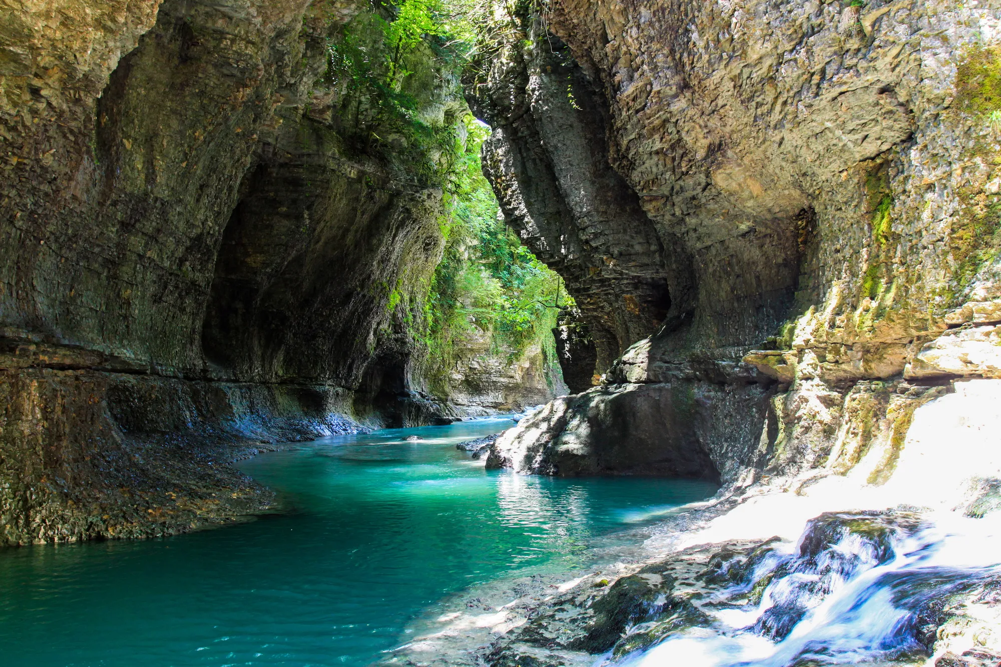
A natural monument in the village of Gachedili, Martvili Municipality, Samegrelo Region, at an altitude of 210 meters above sea level. The Martvili Canyon Visitor Center is located at the entrance to the canyon.
The natural monument is a canyon-like gorge cut by the Abasha River in an anticline built by the Abdati limestone rocks. The canyon is 2400 m long, the depth of the cut is 20-30 m, and the width is 5-10 m. Small waterfalls with a drop of 12-15 m arise in the middle of the canyon. One section is distinguished by its special beauty. This is Ofutskhole, known as the “Dadiani Bathhouse”.
A 700 m long circular hiking trail paved with stones starts from the visitor center and passes through the Dadiani historical trail. The trail features 2 bridges, 3 viewing platforms, and a 30-step historic staircase made of large limestone boulders. Visitors also have the opportunity to take a boat ride along a 300-meter (one-way) section of the Abasha River and enjoy the beautiful views of the mountain river canyon. Visitors must be over 1 m tall to use the boating route.
Entrance Fee Applied – see in pictures
View on map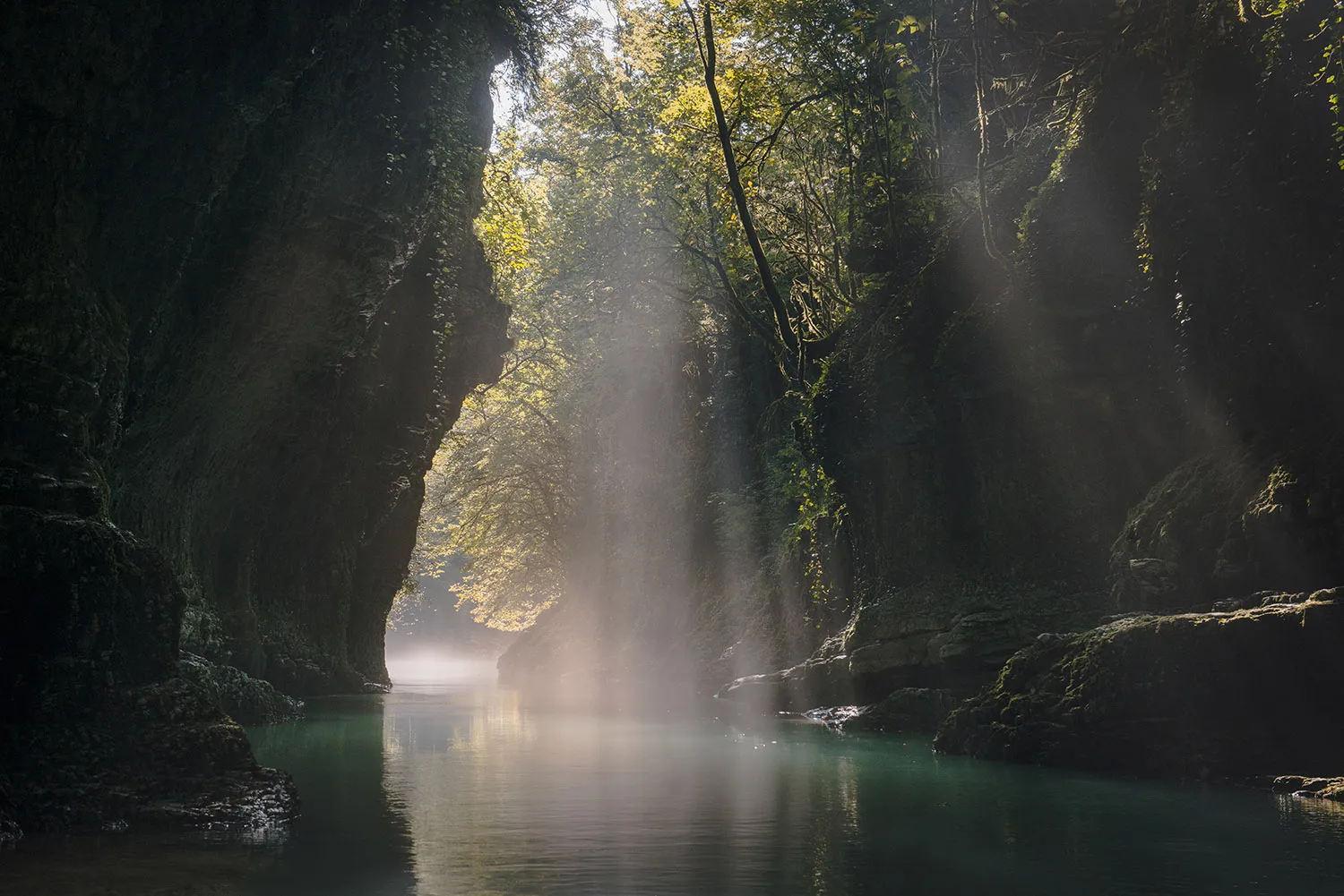


Oniore Waterfall
Oniore Waterfall – a 67-meter-high waterfall in Samegrelo, Martvili Municipality, northeast of the village of Drove Baldi, in the Toba Gorge, a right tributary of the Abashi River, at an altitude of 680 meters above sea level. The Oniore Natural Monument Complex is a combination of a cave and a waterfall flowing from it.
70 meters from the entrance to the cave there is a 21-meter-high underground waterfall, in a separate place the width of the tunnel is 12-15 meters, and the height reaches 30 meters, and the underground river flowing from the cave forms the 67-meter-high Oniore Waterfall.
Access to the waterfall: A road leads from Martvili to the village of Pirve Baldi, where any type of vehicle can travel. From the village, it is possible to climb to the headwaters of the waterfall by dirt road, by off-road vehicle, or by hiking along the Abasha River gorge. The hiking trail is 6 km long.
View on map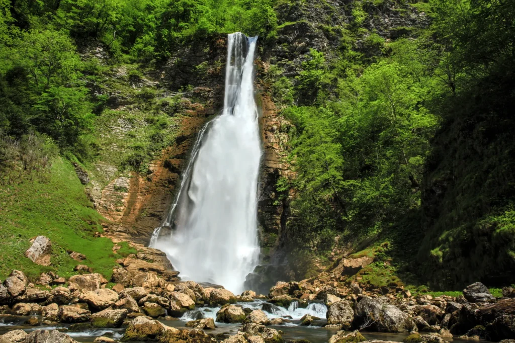

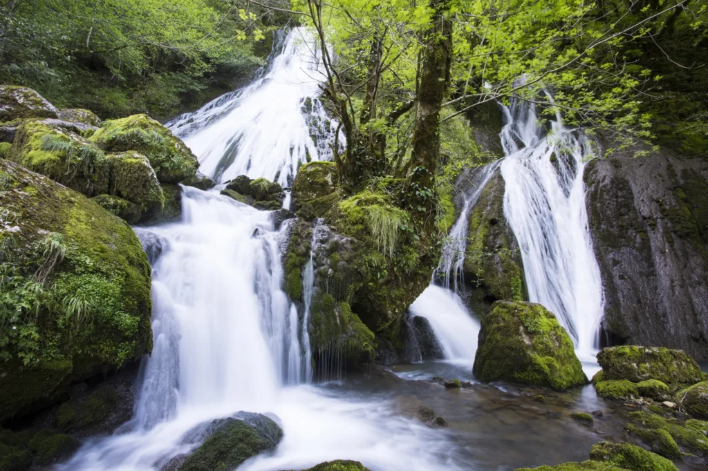
Tsachkhura (Khirzeni) Waterfall – is located in Samegrelo, Martvili Municipality, in the village of Tsachkhuri, Salkhino community, in the Tsachkhura River gorge. A road leads to the waterfall, where you can drive any type of vehicle. There are picnic areas on site. At the end of the road leading to the waterfall is the Tsachkhura Archangel Church.
View on map

Tsachkhura Monastery
Tsachkhura Archangel Church and Fathers’ Monastery – is located in Samegrelo, in the village of Tsachkhuri, Martvili district, in the Salkhino community, on the slopes of Khirzeni.
The Tsachkhuru temple is called Moske – Tsachkhuru, which means a prostitute. It was built in the 7th century, although a renovated, 18th-century hall-type church has survived. In Adjara, services have not been held since the beginning of the 20th century, although divine services were restored here in the 90s. With the blessing of the Metropolitan of Chkondideli, the Fathers’ Monastery functions here today.
View on mapToba Waterfall and Cave
The highest waterfall in Georgia, 234 meters high, Toba Cascade Waterfall, which flows from the Arsen Ordzhonikidze (Toba II) Cave, is located in Samegrelo, Martvili Municipality, near the village of Drove Baldi, in the Toba Gorge, a right tributary of the Abasha River, at 707 meters above sea level.
The cave is difficult to access and climbing there without special equipment is not recommended, and a rubber boat is used for traveling inside. It is carved out of upper Cretaceous limestone. The entrance (15X20 m) opens along a carafe. There are several halls in the three-story, multi-branched cave. Among them are: “Nona’s Hall”, “Nana’s Hall”, “Salon”, “University 50”, “Tbiani” and other halls. Chemical deposits are presented in a variety of forms. The height of one of the stalagmites reaches 7 m. The total length of the cave is 1300 m. The river flowing out of the cave, which creates 4 underground lakes, forms the 234 m high (the highest in Georgia) Tobi Cascade Waterfall.
Access to the waterfall: A road leads from Martvili to the village of Pirveli Baldi, where any type of vehicle can be used. From the village, it is possible to climb to the headwaters of the waterfall by dirt road, by off-road vehicle, or by hiking trail along the Abasha River gorge. The length of the hiking trail is 7 km.
View on map

Church of Nojikhevi
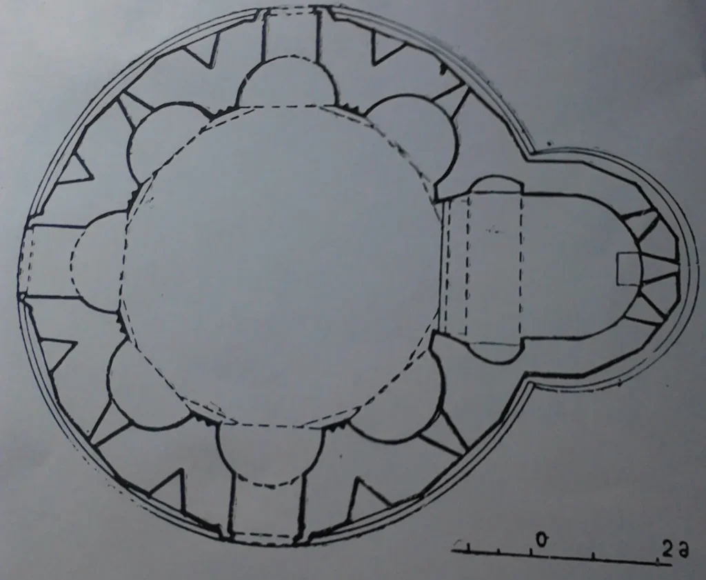
The eight-apse church of Nojikhevi is located in the village of Nojikhevi, Martvili Municipality, Samegrelo, Georgia. It dates back to the 10th-11th centuries and is the only eight-apse church in Georgia. Only very low walls have survived from the building. There are three entrances – west, south and north. The southern and northern entrances were removed later. The foundation is built of quarried stone, and the two-tiered plinth is of hewn stone. The church was clad on the outside with well-polished squares of whitish limestone, and on the inside – with hewn, small-sized Shirim stone, here and there other types of greenish stone were also used.
View on map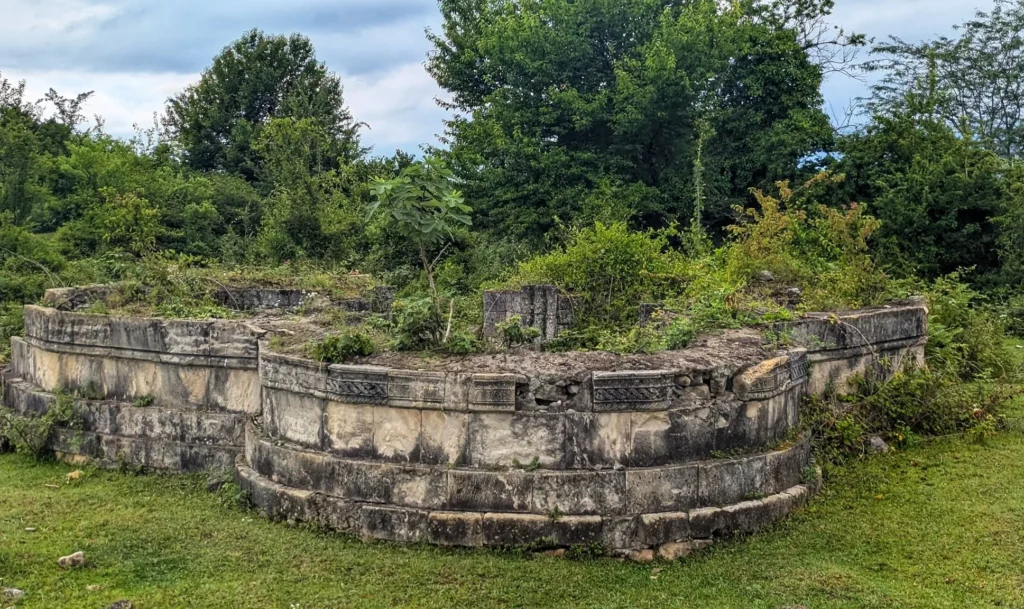

Abedati Fortress
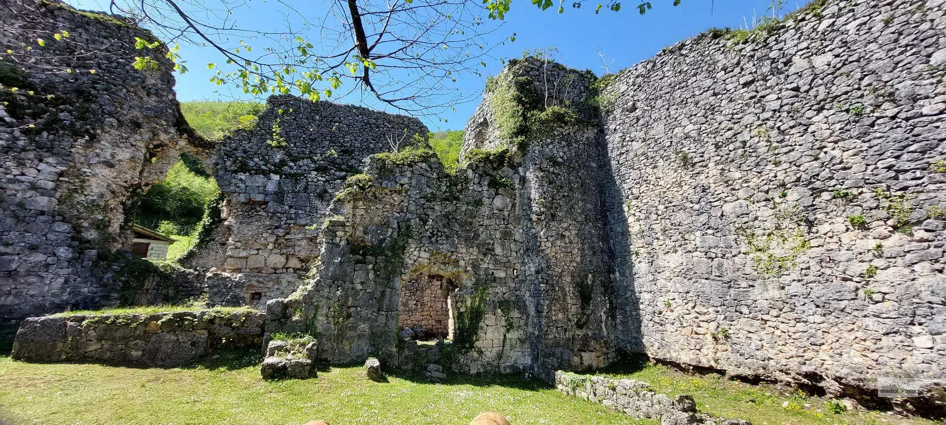
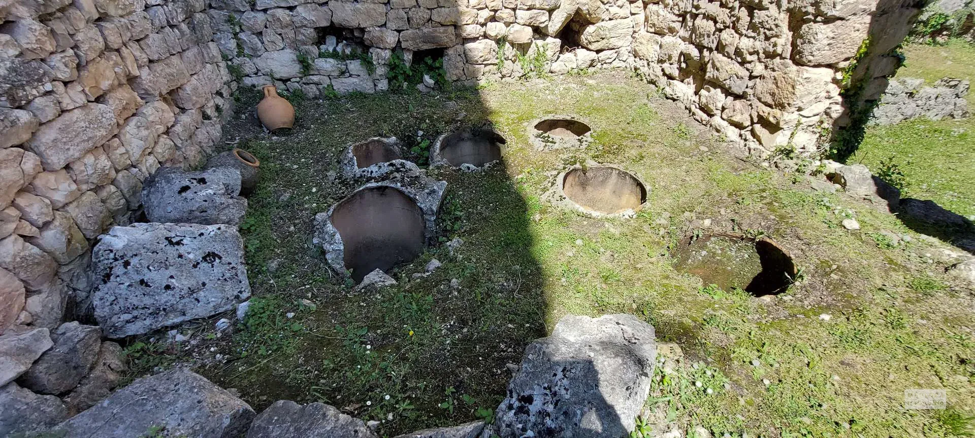
Abedati Fortress is located in the village of Abedati, Martvili Municipality, Samegrelo Region. It is a multi-layered monument, the oldest layer dating back to the 4th-6th centuries. Parmen Zakaraia suggested that the oldest part of the Abedati Fortress is the historical Onoguri, while the later-built fortress-hall and tower are attributed to the Dadiani dynasty. The fortress is built of hewn stone and consists of two walls. The main fence, which has survived to us, is 10-12 meters high, its northern and eastern walls are rounded. The southern and eastern sections of the fortress are bordered by a second fence, which follows the relief. The second fence is currently at ground level. The fence running along the slope with the tower included in it should belong to the original layer of the fortress. Abedati Fortress was probably in use throughout the Middle Ages, until the end of the 18th century. Over the centuries, it has undergone many renovations. As a result of excavations on the territory of the wall, ceramic material from the Hellenistic period of the 3rd-1st centuries BC has been discovered, as well as Kirmaneuli coins and pipes from the 13th-14th centuries of Western Georgia and Turkish silver coins and pipes from the 17th-17th centuries. Inside the fortress, a church is built into the eastern wall, which must be from the 9th century. It is a medium-sized hall-like building. The temple is built of slightly processed whitish limestone. The church has a rectangular gate on the west side, and this is the only entrance.
View on map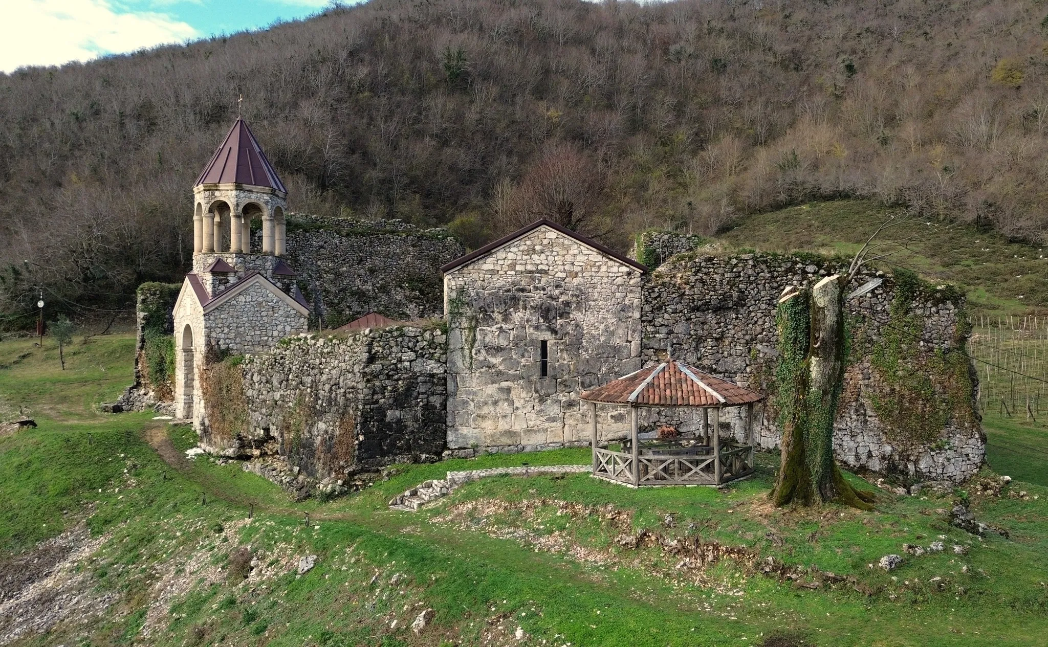
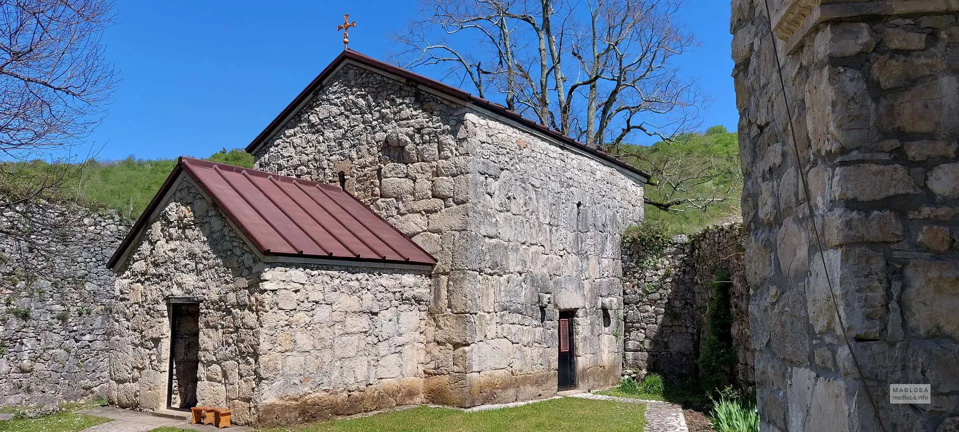

Nogha Castle
Is situated in Samegrelo, in the municipality of Martvili, in the village of Nogha, on the highest point of the countryside. It is dated to the XVI-XVII centuries. The fortress belonged to the Jaiani patrimonial from the beginning but later was referred to the Dadiani family. The construction has the shape of ellipsis, has double fences, and four towers. The distance between these pillars is approximately two meters. The north, west, and east towers are projected circular, and the south one is – squared. The castle is built with different species of mixed stones, on the burnt lime, filled with mortar. During the 2015 and 2019 years, rehabilitative works were in order, and from now on, it is fully reconstructed.
View on map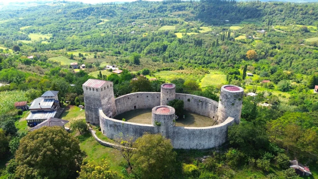
Dadiani Summer Residence
Levan Dadiani’s palace in the village of Salkhino, Martvili Municipality, Samegrelo Region, on the banks of the Tsachkhura River.
The Dadiani Palace of Salkhino, currently the Martvili Residence of the Patriarch, is an important monument of the Martvili tourist area. The complex includes the palace, the St. George Church of the Dadiani Court, a large alley of sycamore trees and boxwood groves on an open field, and a park with benches for resting. The courtyard is very large, shady, cozy and pleasant.
The Salkhino Palace was the third most important (after the Zugdidi and Gordi residences). The Samegrelo princes had a simple wooden ode in Salkhino in 1825-1826, where the Queen Dowager Anna of Samegrelo lived. In place of the wooden palace, Levan V Dadiani built a two-story stone palace, on the advice of Archil Batonishvili and Giorgi Gegelia. According to historical sources, the palace was built by Turks and Greeks, and the necessary materials were brought by peasants.
The palace took its final form during the reign of Levan’s granddaughter Salome Dadiani-Murat, when Princess Salome inherited Saliparitiano after the death of her mother, Ekaterine Dadiani-Chavchavadze. Next to the palace, there is still a church built in 1782 by the Samegrelo prince Katsia II Dadiani (restored). Around the huge pitcher placed in the middle of the lower floor of the palace, in the hall there was a building with a beautifully carved arch supported on oak columns, which fully justified its name “Salkhino”. In the words of I. Meunargia, “the idea of building such a palace must have occurred to a prince who had spent his entire life in revelry and singing.”
View on map
Chkhorotsku Municipality
Chkhorotsku Municipality is located in the Samegrelo-Zemo Svaneti region of western Georgia. Traces of human life in the territory of Chkhorotsku date back to ancient times, dating back to the Stone Age, and cover almost all stages of development. The word Chkhorotsku itself means nine springs in Megrelian (chkhoros – nine, tsku – water), an article about the etymology of this name was published in the newspaper “Tsnobis Purtseli” in 1899.
Chkhorotsku Municipality is located in the extreme northern part of Western Georgia, in the Samegrelo-Zemo Svaneti region. Its administrative center is the town of Chkhorotsku. It borders Martvili Municipality to the east, Tsalenjikha to the west, Zugdidi to the southwest, Mestia and Lentekhi to the north, and Senaki and Khobi municipalities to the south. The region is hilly and mountainous, with an elevation of 200 to 3,000 meters above sea level.
Chkhorotsku Municipality is distinguished by its beautiful nature and abundance of cultural monuments. Here you can find ancient settlements, medieval fortresses and ancient temples.
Otsindale Church
St. George’s Church of Otsindale is an immovable monument of Georgian architecture and culture of national significance in the village of Taya, Chkhorotsku Municipality, Samegrelo-Zemo Svaneti region, at an altitude of 640 meters above sea level. The church was built in the 11th century. The carved door of the church made of vine dates back to the same time, which is currently preserved in the National Museum of Georgia. According to materials published in the 19th century, the church here was renovated by Queen Tamar. An inscription on the church has also been preserved to commemorate this fact.
The Otsindale Church was an indispensable religious center for centuries, where people from all over Samegrelo gathered to celebrate St. George. At the beginning of the 20th century, a nunnery functioned in Otsindale. In 1923, when the Soviet government was massively abolishing and demolishing churches and monasteries, a commission created by the Committee for the Protection of Antiquities of Georgia, headed by Giorgi Chubinishvili, determined that 11 churches and monasteries in the Zugdidi base, including the Otsindale Church, were preserved intact due to their antiquity and architectural style.
In the 20th century, the Otsindale Church was protected by the state as a monument of special importance. In the 1980s, the Otsindale Church and the bell tower were renovated. Currently, the Mamamta Monastery is located here.
On November 7, 2006, the Otsindale Church was awarded the category of an immovable cultural monument of national importance by the decree of the President of Georgia.
View on map
Mukhuri is a village in western Georgia, in the Chkhorotsku Municipality of the Samegrelo-Zemo Svaneti Region, in the Khobistskali Gorge. The village is bordered to the south and east by the villages of Khabume, Zumi and Taya, and to the west by the Tsalenjikha Municipality.
Mukhuri is considered one of the centers of Georgian beekeeping. Currently, a beekeeping breeding base with a laboratory of the Scientific Research Center under the Ministry of Agriculture has been created. In the village of Mukhuri there is a house-museum of the poet Lasha Gakharia, where poetry evenings are often held. There is a functioning church of St. George and St. Nicholas in the village. The healing properties of the “Lugela” mineral water are also known.
Historical sources confirm that in the mountainous region of the village, in particular in the Lugela Valley, where there are karst caves and grottoes, people have lived since time immemorial, and the stone tools found there – axes, hand axes, and grinding stones – are evidence of human life in the Neolithic era. To commemorate the Roman commander Pompey’s campaign in Egress, the path running through the territory of Mukhuri and Taia is still called “Pompey’s Path” by people today. The existence of a culture developed in the Middle Ages and later periods is evidenced by the historical monuments here.
View on map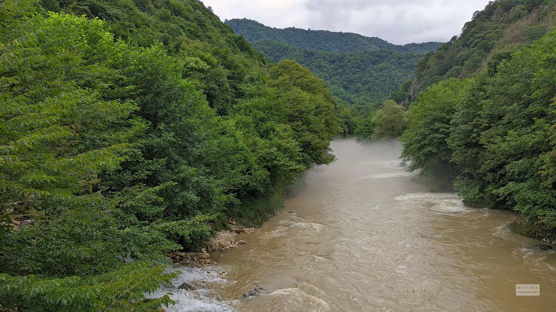
Shurubumu Canyon & Cave
Shurubumu Canyon is located in Samegrelo, Chkhorotsku Municipality, near the village of Mukhuri, in the Khobistskali River Gorge. This is one of the special places for wildlife and adventure lovers and attracts many travelers. Boxwood groves, moss-covered boulders and small waterfalls create a fairy-tale spectacle. The magical paths of the canyon lead to the Shurubumu Cave, which is distinguished by its beautiful limestone formations and makes a great impression on the visitor. Shurubumu Canyon and Cave are one of the exotic places in Samegrelo.
Shurubumu Cave is located in Samegrelo, in the village of Mukhuri, Chkhorotsku Municipality, in the western part of the Migaria Massif. Shurubumu is one of the most beautiful and magical places in Georgia and attracts many nature and travel lovers.
Almost all types of mineral formations are found here. Stalactites, stalagmites, petrified waterfalls, the diversity of forms create a fabulous, mystical environment. Shurubumu Cave is visually almost invisible on the surface of the earth. Certain signs of its existence are noted on the left bank of the Khobistskali River gorge, where the vertical and sloping walls of the limestone massif are broken. Underground waters flow abundantly through the numerous voids of the cave, although only a few streams can be found on the surface of the earth. The entrance to the cave is blocked by a stone wall. Narrow holes are characteristic of Shurubumu Cave. The caves are closed by siphon water, but it is possible to go all the way. In addition to the beauty and uniqueness of the cave itself, the Shurubumu Cave is surrounded by amazing surroundings. Misty forests, overgrown boulders, ancient boxwood groves and small waterfalls create captivating landscapes. Here you can imagine yourself as a hero of a fairy tale. The cave has not yet been fully explored. Here you will find an untouched, completely natural environment, which makes this place even more attractive for adventure lovers. Here some interesting videos about it: Youtube & Facebook
View on map


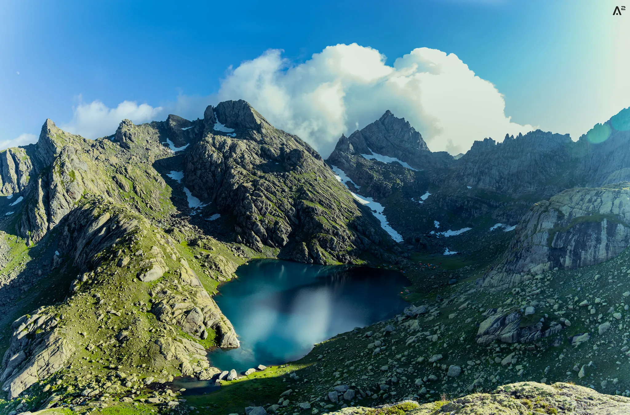
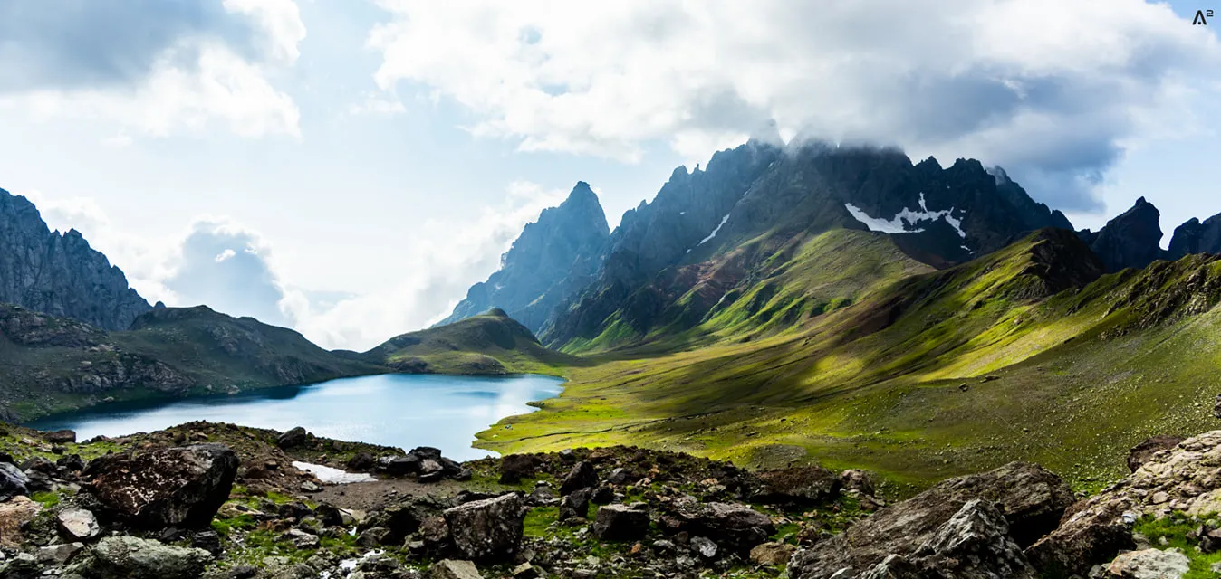
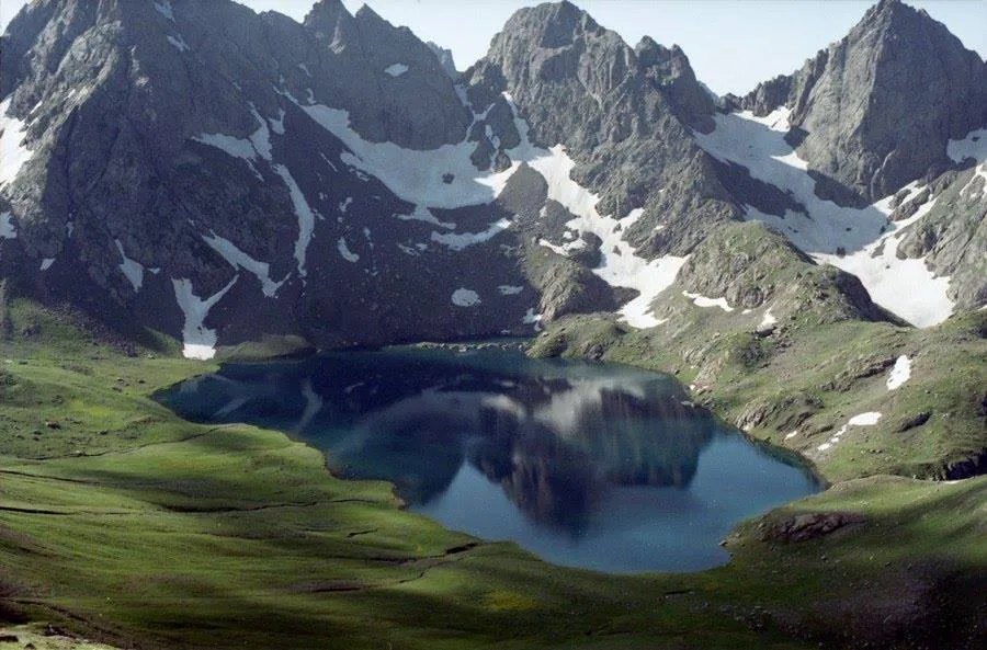
Egrisi Ridge & Toba (varchkhili) lakes
The Egrisi Ridge (Samegrelo Ridge, Odishi Ridge) is a lateral ridge along the southern slope of the Caucasus system, located in Samegrelo – Upper Svaneti. The lower zone of the ridge, up to 1200 meters, is covered with broad-leaved forests (oak, hornbeam, chestnut, beech), higher, up to 2100 meters, with conifers (sochi, spruce), and above all with subalpine and alpine meadows. The rivers Magana, Tekhuri, Khobi, Tkhei, Kasleti and others originate from the ridge.
The Egrisi Ridge is the parent of a number of beautiful lakes. Tobavarchkhili (Silver Lake), Okhojes Toba (Tsashkibuli Toba, Small Lake), Kalalish Toba, Didghalish Toba, Tsakatskharish Toba, Okares Toba, Lakumurashi and others.
The beautiful lakes of Tobavarchkhili, located on the Egrisi ridge, can be reached by various routes. You can start and end the hike from the three most common places: 1. Mukhuri; 2. Skuri; 3. Khaishi.
The most popular place to start the route is Mukhuri, because from Mukhuri it is possible to reach the Natifuru Shepherds’ Hut by off-road transport. The Shepherds’ Hut is located at 1930 meters above sea level and is the highest point that can be reached by transport compared to the other two options.
View on map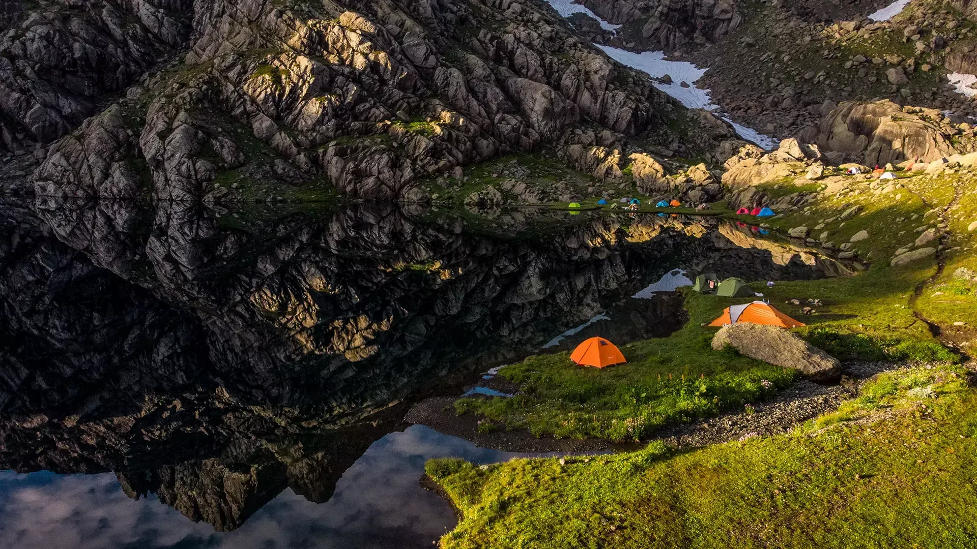


The Church of Akhuti
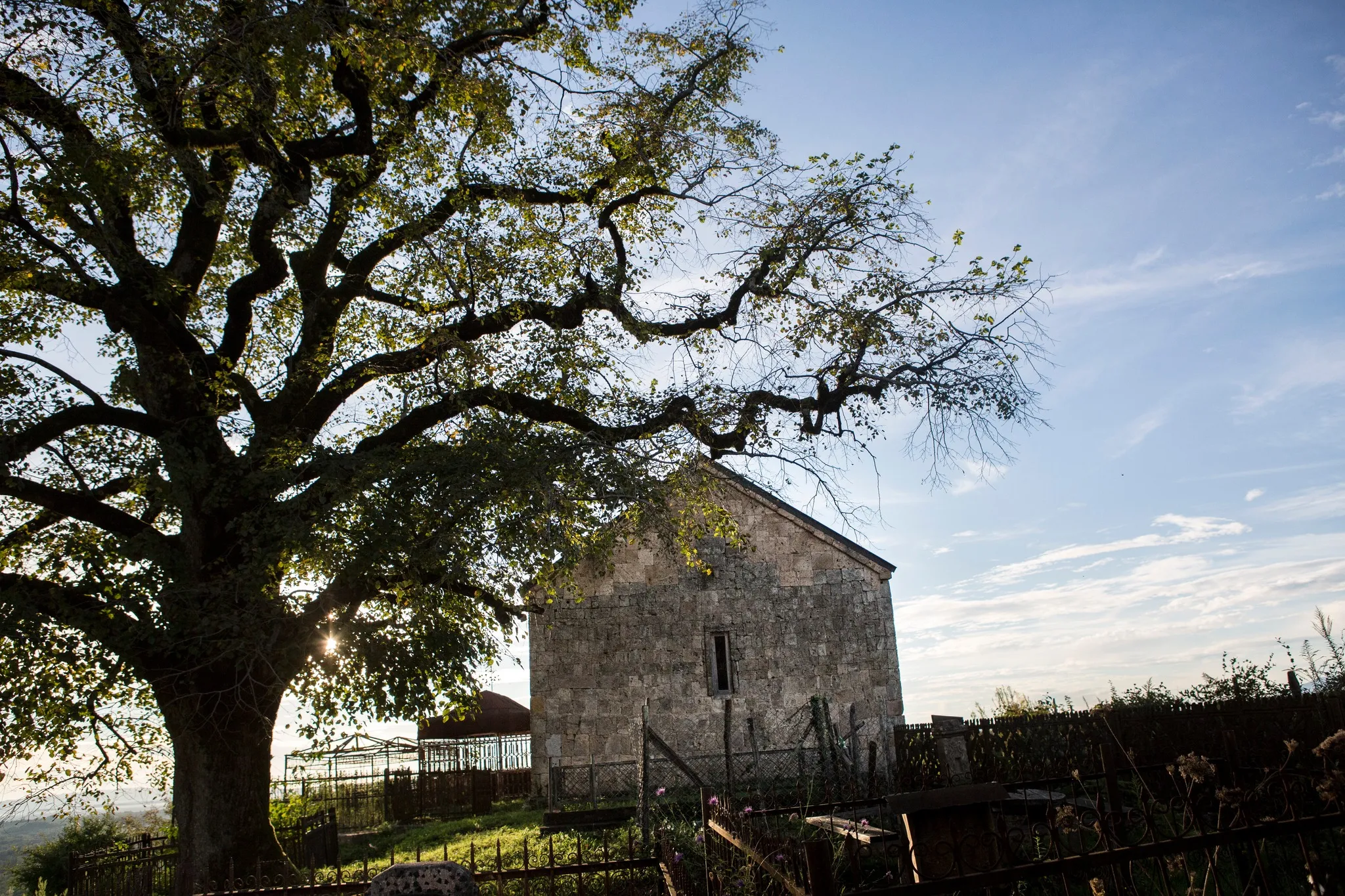
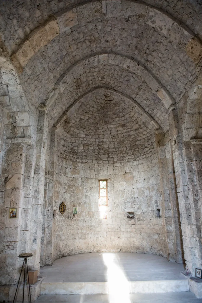
The Church of the Savior of Akhuti is located in Samegrelo, in the village of Akhuti, Chkhorotsku Municipality. It dates back to the 19th century, although traces of the 9th-10th centuries can also be seen. The church is a hall-shaped building, with a semicircular apse in the east. The hall is roofed with a vault, which rests on entablatures carried on pilasters. The longitudinal walls are divided by arches carried between pilasters. The temple is lit by four rectangular windows, one window on each of the four sides of the building. There are three entrances – on the west, south and north, all three entrances are rectangular. The facades are completely unadorned and are finished with a pediment made of a shaft and a circular pattern. The church is built of cleanly cut square stone blocks.
View on map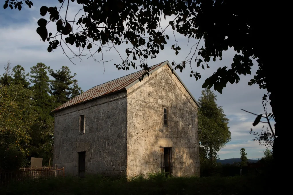
Tsalenjikha Municipality
Tsalenjikha Municipality
Tsalenjikha Municipality is located in the Samegrelo-Zemo Svaneti region of western Georgia. The region is distinguished by its rich historical past. Traces of human life here date back to the Stone Age and have continued virtually uninterrupted. A variety of archaeological materials and ancient settlements have been discovered on the territory of Tsalenjikha. It was an important settlement in the Middle Ages, as evidenced by ancient temples and fortresses. One of the most important monuments is the Tsalenjikha Church of the Transfiguration of the Savior, which became an episcopal cathedral in the 17th century. In the 13th-14th centuries, Tsalenjikha was the residence of the Dadiani family, their palace, a chapel and a family tomb.
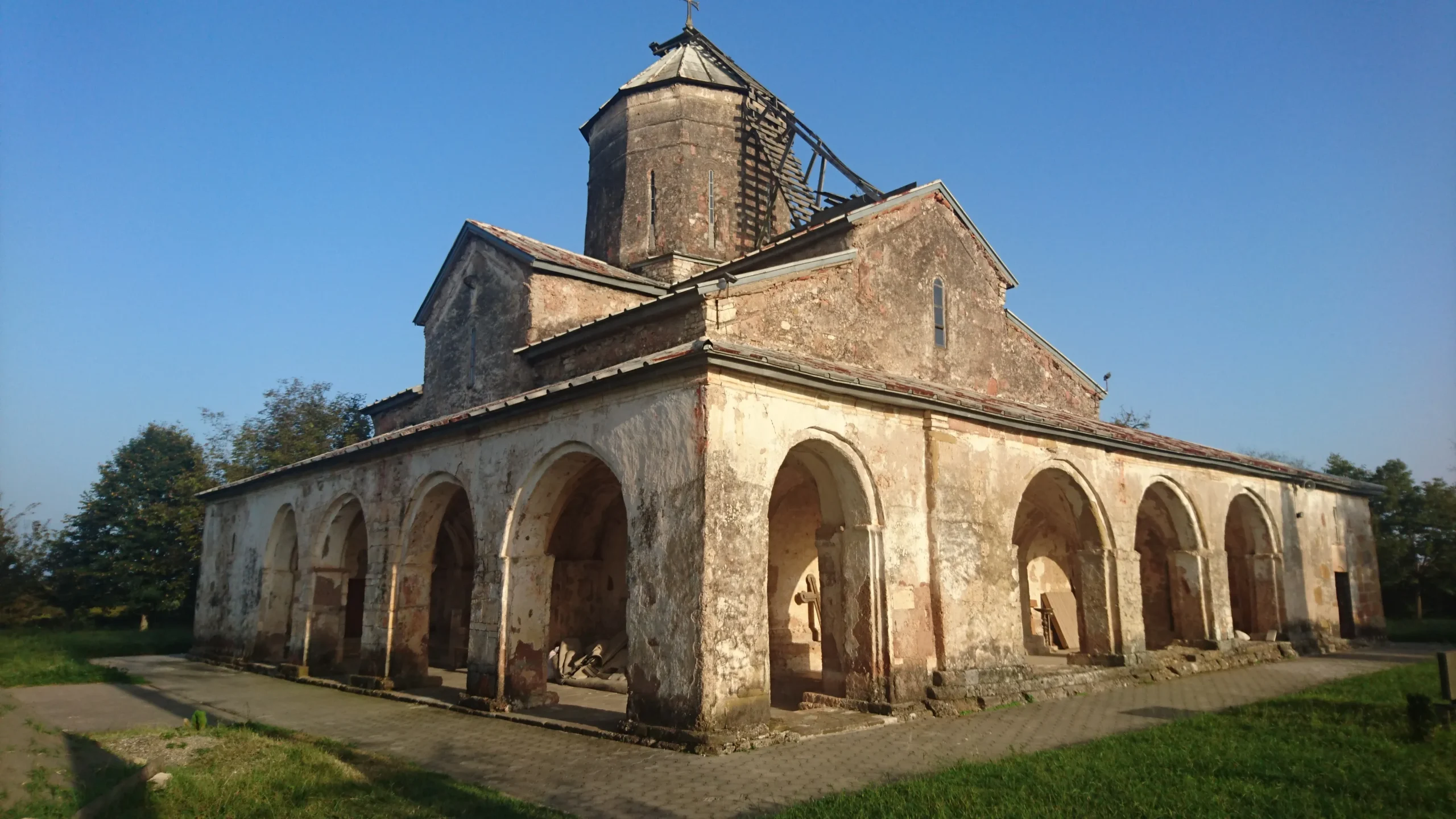
The Tsalenjikha Transfiguration Cathedral
Is located in Samegrelo, in the Tsalenjikha municipality, near the city of Tsalenjikha. It is a monument of the 10th-13th centuries. Before the church, a fortress was built here, as evidenced by the foundation of the fence. The episcopal see was founded here between 1639 and 1650 under the leadership of Levan II. The first Tsalenjikha bishop is considered to be Metropolitan Mitrophane of Alaverdi. In 1678, the Abkhazians raided the Zugdidi, Tsai and Khobi monasteries and plundered the Tsalenjikha monastery. The church was renovated by a certain Giorgi with his wife, Tatua, and donated the estate and serfs to it. He also arranged his family’s crypt here. In the Tsalenjikha Church of the Transfiguration of the Savior, the Grand Duke of Samegrelo, Levan II Dadiani, and his wife, Queen Nestan Darejani, rest in the western crypt.
The Tsalenjikha complex includes a church, a bell tower, and a tunnel. The Church of the Transfiguration of the Savior is a cross-domed building, which ends in the east with a semicircular apse. It stands on a three-tiered plinth. On both sides of the apse are pastoforiums, which are connected to the main space by open semicircular arches. The church is built of well-cut stone, which is then plastered. The facades of the church are plain, and there is no decoration on the doors or windows. The interior is completely painted. The history of the church’s painting is described in an inscription placed on two large columns.
The art of copying books was at a high level in the Tsalenjikha Monastery.
During the communist regime, the church was closed for seven decades. In 1988, divine services were resumed in the temple.
View on map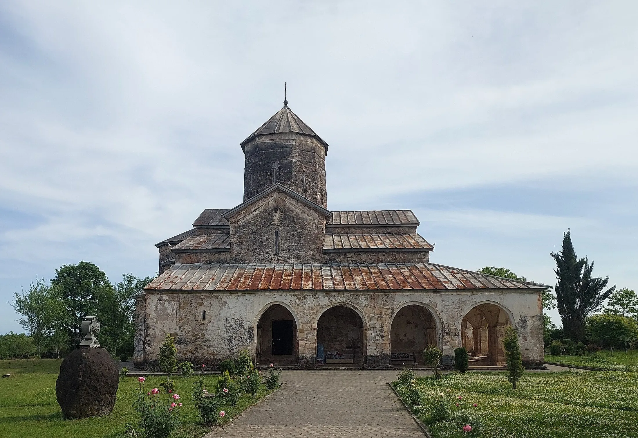


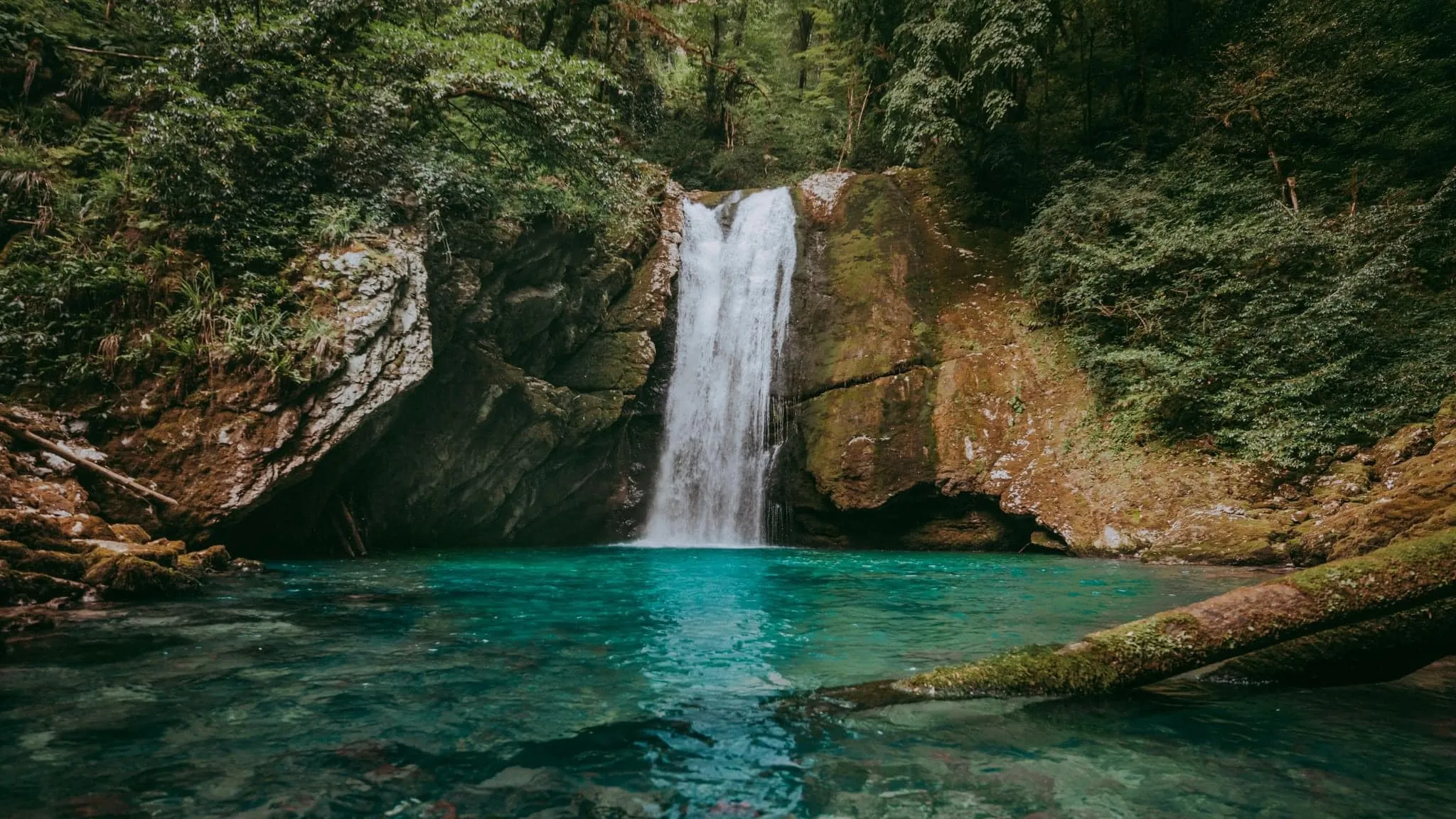
Intsira Waterfall (Intsra)
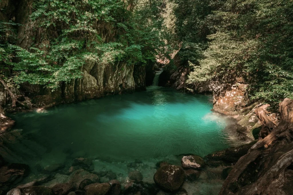
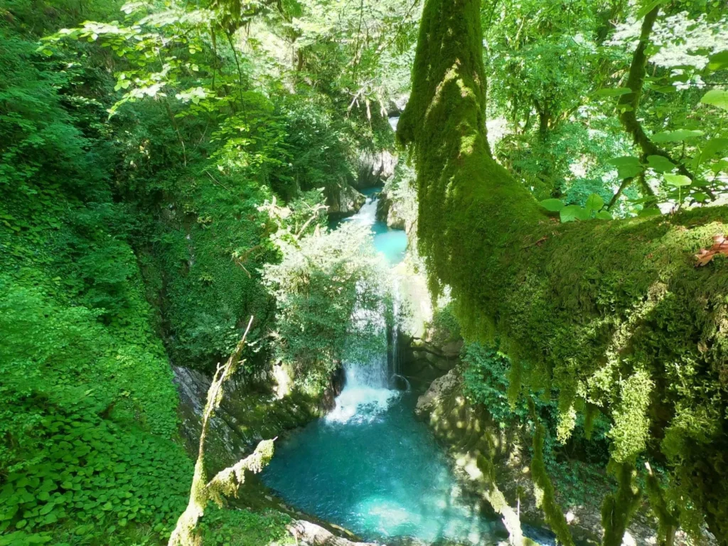
Is located in Samegrelo, in the village of Chkvaleri, Tsalenjikha Municipality. The waterfall flows into the Intsira River Canyon. The waterfall and the canyon are hidden in a thicket of moss and boxwood groves, which creates a mystical environment.
The road from the village to the waterfall is only 1.6 km, and then a path through the forest leads to the Intsira Waterfall and the cave. The path through the forest begins with a forest road and after a few hundred meters follows a steep slope, which is quite a difficult section, although any adult can pass it. The Intsira Cave is also located near the waterfall, which is no less interesting to visit. Drinking water is piped from the cave and runs along the entire length of the trail, both to the cave and to the waterfall, which serves as a kind of guide for orientation in nature.
View on map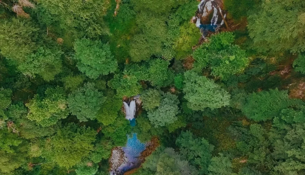
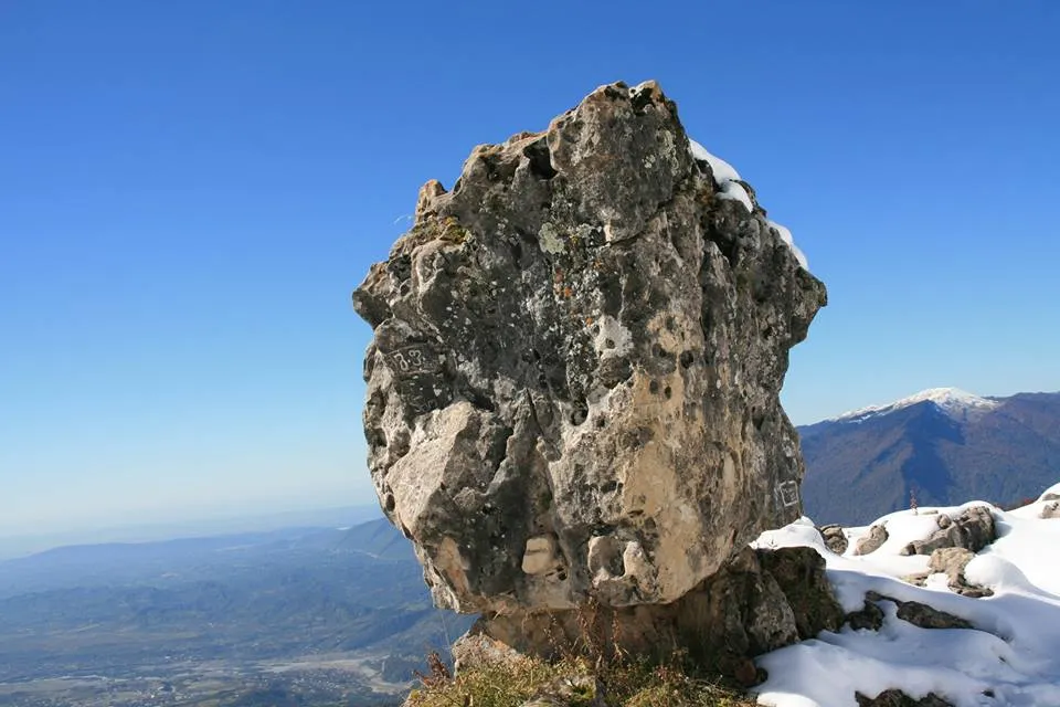
Kuakantsalia is a rock formation located in Samegrelo, Tsalenjikha Municipality, on the Kvira limestone massif, near the headwaters of the Intsri River, at an altitude of 1,800 m above sea level. This natural wonder is one of the impressive landmarks of Samegrelo. The huge rock formation even creates a kind of mystical atmosphere. The limestone boulder, with a sloping surface from the rains, stands on a raised pedestal. It has four supporting points, one of which is always in the air. This huge mass of stone begins to sway and makes a knocking sound even with the slightest pressure of a hand on one of the ribs. The height of the boulder is 1.75 – 1.45 m, width – 1.68 and 2.10 m on one side, and 1.60 m on the other, and its weight is approximately 10-12 tons. Similar rock formations can be found in many countries, but most of them are formed in igneous volcanic rocks, while Kuakantsalia is a limestone boulder located on a karst massif. The boulder overlooks vast spaces and offers beautiful views. Amazing landscapes and the magic of nature will fill you with unforgettable impressions.

The resort of Skuri is located in Samegrelo, in the Tsalenjikha municipality, at an altitude of 450-500 meters above sea level. It is a balneo-climatic resort with a humid subtropical climate. The main healing factor of Skuri is mineral water. Surrounded by mountains and hidden in greenery, the resort attracts many vacationers. If you want a comfortable vacation in the peace of nature, Skuri is one of the best places for this. The study of Skuri mineral water began in 1915, and in 1920 it acquired the status of a healing resort. Skuri is distinguished by its beautiful nature, clean air, forests, mountain views and healing water that create an excellent environment for a pleasant, restorative vacation.
View on mapSkuri Church
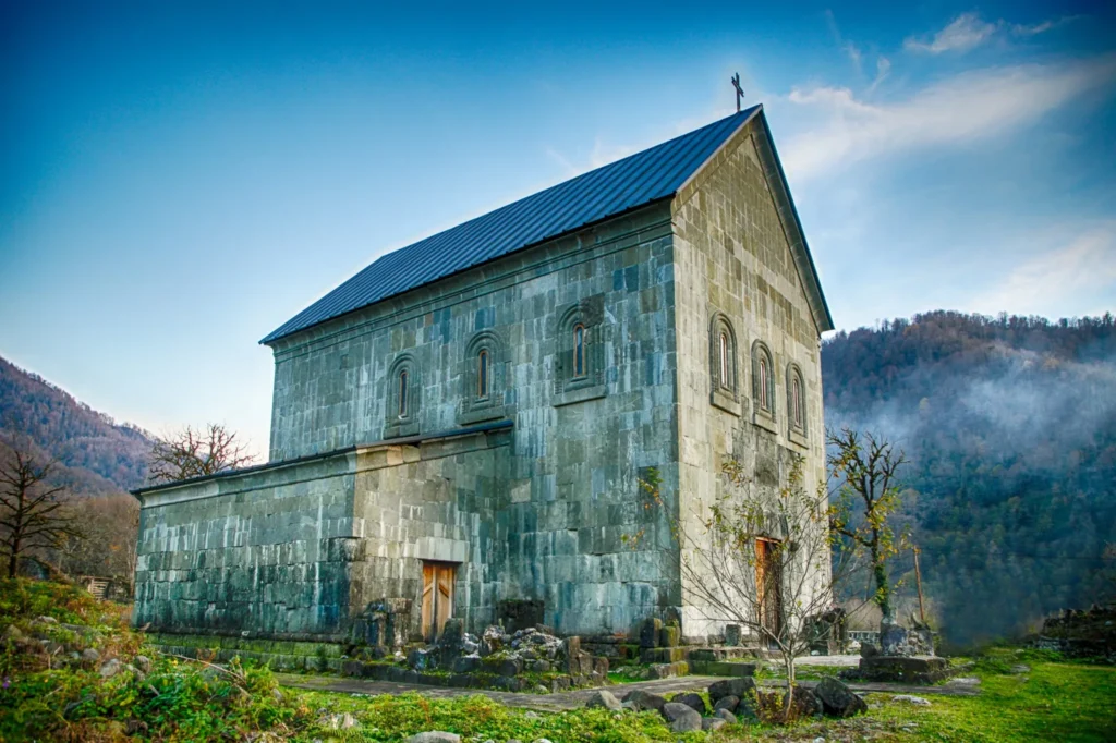
Is located in Samegrelo, Tsalenjikha Municipality, north of Skuri. It dates back to the 13th century. The church shows signs of reconstruction and restoration. The monument has reached us in a very damaged form, and was restored in 2018. The church is a hall-shaped building, with a semicircular apse and a nave inscribed in a rectangle on the east side. The interior is well lit, with three windows cut into each wall. The windows have a cylindrical frame. There are three entrances – on the west, south and north. The western entrance has a carved arched frame, and the entrance itself is rectangular. The building is distinguished by its high proportions. The church is faced with neatly cut squares.
Khobi Municipality
Khobi — a city and municipality in western Georgia, the administrative center of Khobi Municipality. Located in the Samegrelo-Zemo Svaneti region. On the Kolkheti Plain, on the banks of the Khobi River, at an altitude of 25 m above sea level.
It was declared a city in 1981. Khobi is the residence of the Poti and Khobi Diocese, 2 km from the city stands the Khobi Cathedral of the end of the 13th century.
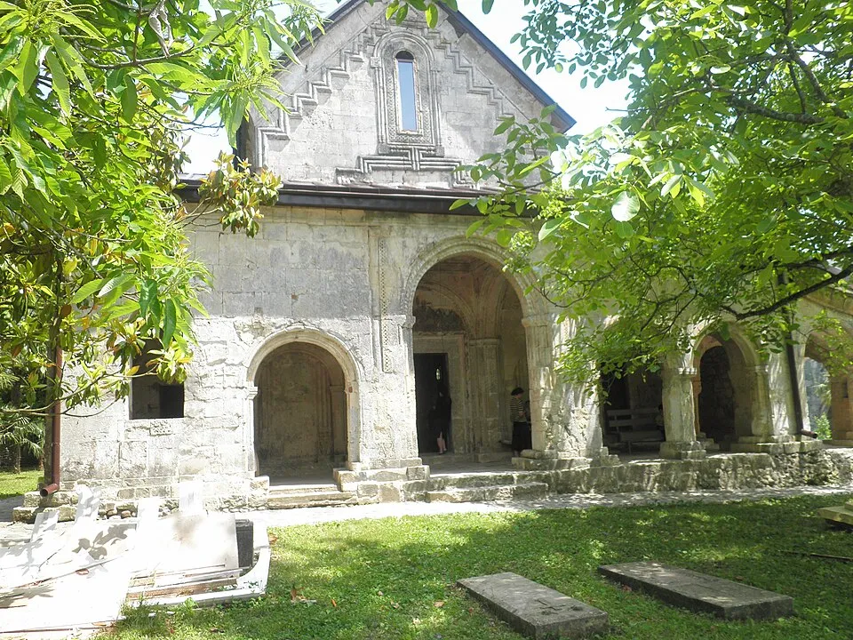
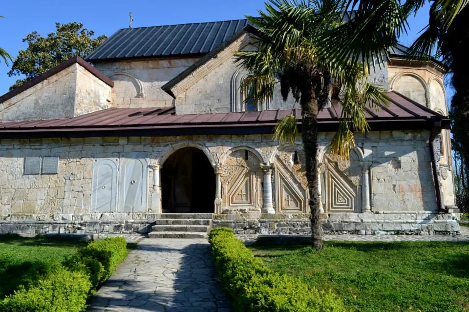
The Khobi Monastery
Officially the Nojikhevi convent of the Dormition – is a Georgian Orthodox monastery in western Georgia, near the town of Khobi. The church building is dated to the 13th century. Its exterior is adorned with ornamental stone carvings, while the interior contains frescoes. The monastery served as a dynastic abbey of the Dadiani of Mingrelia and housed several Christian relics and icons. The monastery is inscribed on the list of the Immovable Cultural Monuments of National Significance.

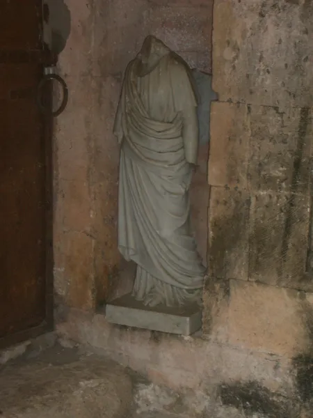
The Dzuku Lolua Georgian Folk Song Museum is located in Khobi Municipality.
The museum was opened on June 1, 2007, and exhibits photo materials, documents, certificates, festival exhibitions, and compact discs of the masters of Megrelian song. The museum was founded by the “International Charitable Foundation for Education, Culture, and Spirituality – Khobi”
View on mapPapantskvili Lake
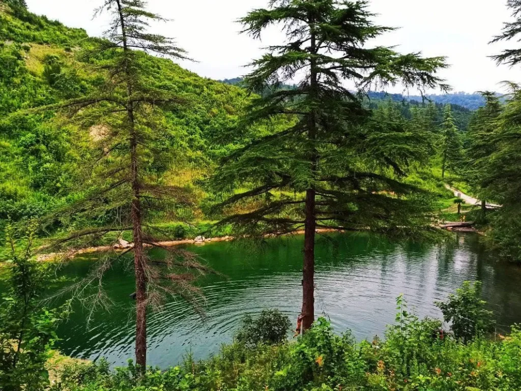
Is a karst lake in Khobi Municipality, Georgia. It is located on the southwestern slope of the Urti mountain range, in the village of Kheti. The area is 0.0062 km², the average depth is 4.2 m, the maximum depth is 7 m. It is fed by rain and groundwater. It is flowing. The water is green and transparent. In summer, direct temperature stratification occurs in the lake. It is surrounded by coniferous trees and a pine forest.
The name of the lake is associated with a legend, according to which the parishioners helped the priest with the harvest, he treated them to dog meat. Before eating, his wife sang on the fanduri in Megrelian: “Do not eat meat so that you cannot see the head and feet”. After the workers left, the house sank completely because of this sin, and a lake appeared in that place. Thus, “Papantskvili” means “sunken father” in Megrelian.
View on map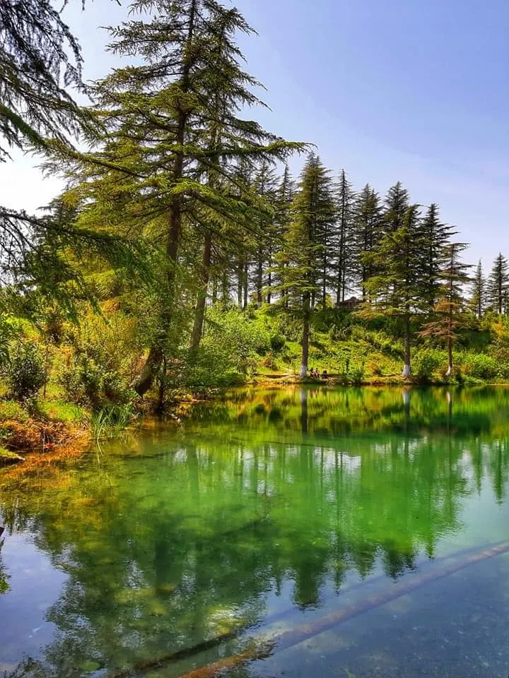
Poti Municipality
The city of Poti is located in the region of Samegrelo and Zemo Svaneti. According to scientists, one of the most ancient cities of Georgia, Phasis, was located on the territory of present-day Poti, and Poti is considered the successor of this ancient city. Settlements of the Late Bronze and Early Iron Ages have been discovered in the territories surrounding the city. The earliest artifacts from the archaeological materials discovered in the territory of present-day Poti (vessels found near the site of the western part of Lake Paliastomi) date back to the 4th century BC. Poti is first mentioned in historical sources in the 8th century. In 1578, Poti was captured by the Ottomans. In the following centuries, the city was periodically under Russian and Ottoman rule. The revitalization, reconstruction and improvement of Poti are associated with the name of the prominent Georgian public figure and publicist – Niko Nikoladze. It was Niko Nikoladze’s project that developed the planning of Poti. Nowadays, Poti is one of the fundamental regions of the Georgian economy. The city’s seaport is one of the largest ports in the Black Sea basin.
The city of Poti is located in the Samegrelo and Zemo Svaneti regions, on the Black Sea, on the Colchis Plain, at the confluence of the Rioni River and the Black Sea. The city is bordered by the Black Sea to the west, the Khobi region and the Rioni River to the north, and the Kaparcha River and Lake Paliastomi to the southeast. Poti is characterized by a flat relief. The city is located at an average altitude of 0.8-2 meters above sea level.
The historical city of Phasis was located on the territory of modern Poti. Phasis was founded in the 7th century BC and was an important port city. It is believed that the Phasis colony was founded by Greek settlers from Miletus. Phasis figures in the myth of the Argonauts. The name of the pheasant in European languages comes from it. According to Strabo, it was located between the sea, a lake and a river. Phasis was the easternmost city on the Black Sea coast. The development of agriculture, crafts, textiles, ceramics and other industries made it an economic and trade center of the Kingdom of Colchis.
According to Flavius Arrian and Ammianus Marcellinus, in the 2nd-4th centuries, a garrison of 400 soldiers of the Roman Empire was located in Phasis, and the temple of Cybele stood in the city. The city was famous for the Phasis Academy, where instruction was provided in Georgian and Greek.

The Poti Lighthouse
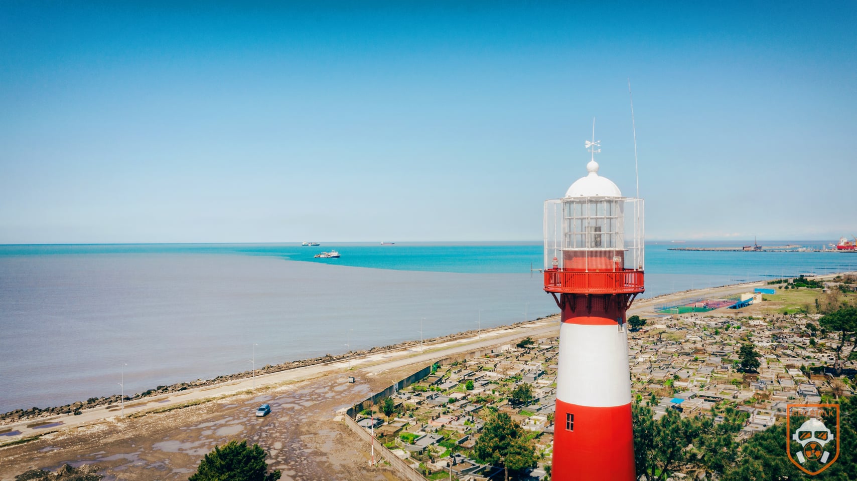
Is located in the city of Poti in Samegrelo. It is located at the confluence of the Rioni and Black Seas. The lighthouse was ordered in England in 1860 as a lighthouse. It is made of cast iron and weighs 126 tons. It was lit for the first time in 1864 and has never gone out since. It is interesting that it is the first metal lighthouse in Georgia; before that, lighthouses were made of stone or wood. The lighthouse has undergone many changes during its existence. Its height from the base to the roof is 39.8 meters. There is a spiral staircase in the lighthouse with 160 steps. The distance of the Poti lighthouse’s light is 16 nautical miles, or 30 kilometers.
View on map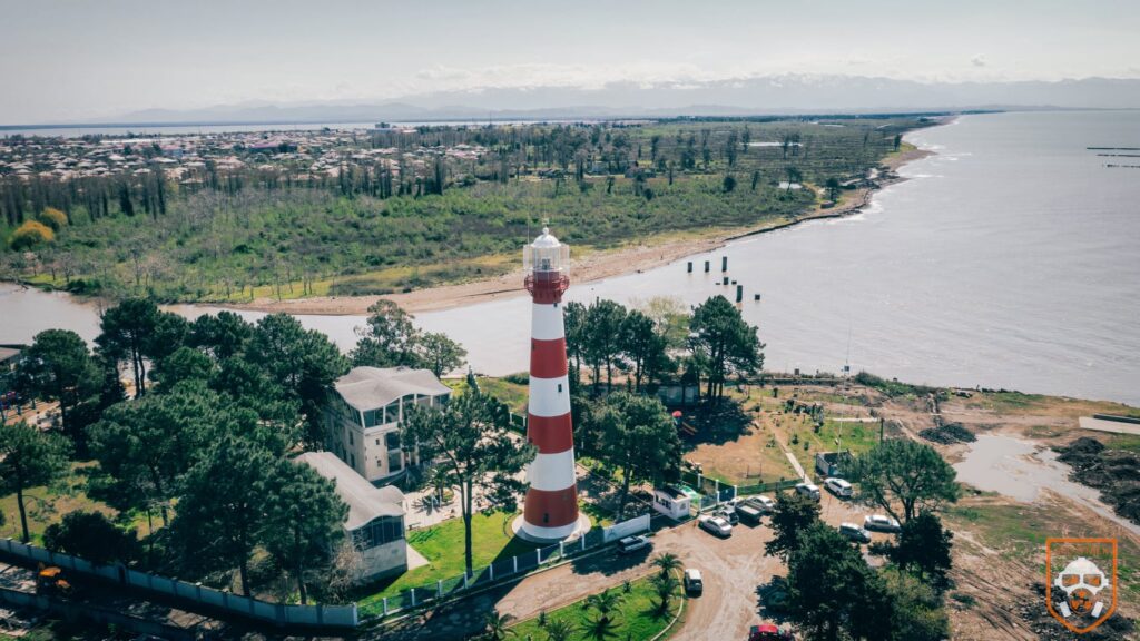

Poti Port
The first port of Georgia on the Black Sea, at the mouth of the Rioni River. It was built in 1889-1905 on the initiative and under the leadership of Niko Nikoladze. The port began its existence from the declaration of Poti as a port city. Poti Port is one of the main nodes of the TRACECA and the transit corridor, which connects Europe with the countries of the Caucasus and Central Asia by a short route. From its geographical and economic point of view, it is located in a very favorable location.
It is located in the northwestern part of the city, in the Rioni River delta between the Northern Branch and “Narionall”, partly in the territory of the Nabadi and Island microdistricts. It is located on an area of 49 hectares.
View on map
Poti Cathedral
The Cathedral of the Resurrection of the Savior, formerly (the Cathedral of the Nativity of the Virgin Mary) in Samegrelo, in the city of Poti.
The Poti Cathedral has no analogues in Georgia in terms of architectural style, which is Byzantine.
On June 17, 1895, the Russian Emperor allowed the military governor of Kutaisi to create a special committee for the construction of the Poti Cathedral, the leadership of which was entrusted to Niko Nikoladze, who intended to build a church in the Georgian architectural style. An appropriate project was created, but as it turns out, it was rejected by the Russian government, and later a new project was developed by architects Zelenko and Marfeld based on the St. Sophia Cathedral in Constantinople. It was an almost exact copy of it, on a reduced scale. The church was designed for 2000 worshipers.
On September 14, 1906, on the feast of the Exaltation of the Holy Cross, Bishop Giorgi (Aladashvili) of Guria-Samegrelo solemnly blessed the foundation of the church.
On May 22, 1907, a cross was erected on the dome of the church. Its construction lasted for eight months – the cathedral had three aisles, the author of the icons of the narthex was the artist of the Russian Imperial Academy Dumitrashko, which was completed in 1908. The icons of the northern side of the narthex were executed in the Greek-Byzantine style, the southern side in the Georgian-Byzantine style, and the middle Russian-Byzantine style. Among these icons were two of St. Nino and St. King David the Builder.
In 1932, the communist authorities of the city of Poti decided to convert the cathedral into a theater. Over time, the building was reconstructed several times, as a result of which its appearance was significantly damaged. After the restoration of independence, the dispute between the Georgian Church and the theater troupe lasted for a long time, and finally, by the decision of the Poti City Council, the building was transferred to the church.
View on map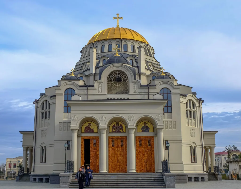
Golden Lake
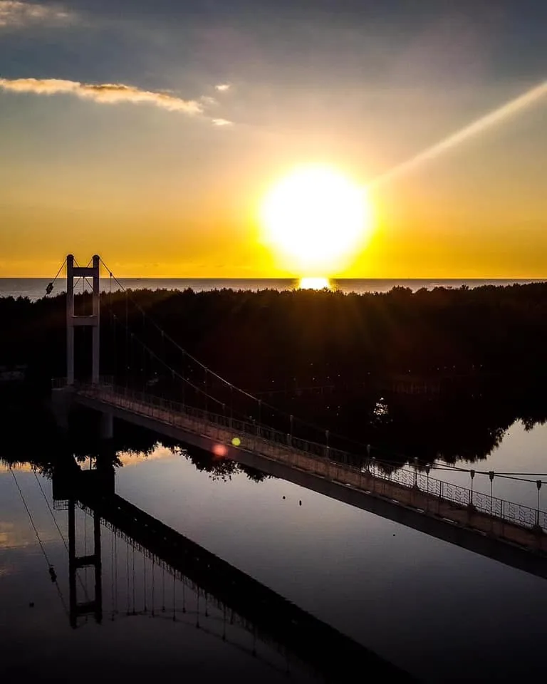
Lcated in Samegrelo, near the city of Poti, on the Maltakva River. The lake is a rowing channel. The length of the lake is about 1000–1200 meters, the width is probably 120–150 meters. The depth in the middle is 4–6 meters, the bottom is even, sandy. The lake is artificially created in accordance with Olympic standards, training and competitions in water skiing are held there. In 1991, the European Rowing Championship was held on the lake. The lake is divided into two parts by a special net
View on map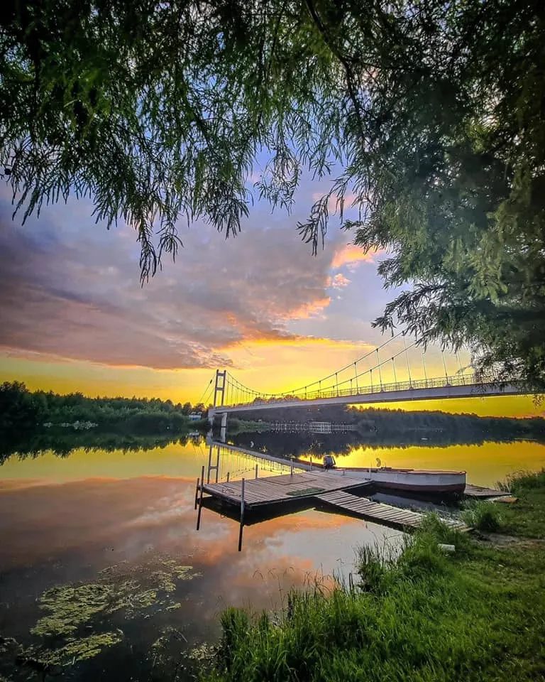
Paliatomi Lake
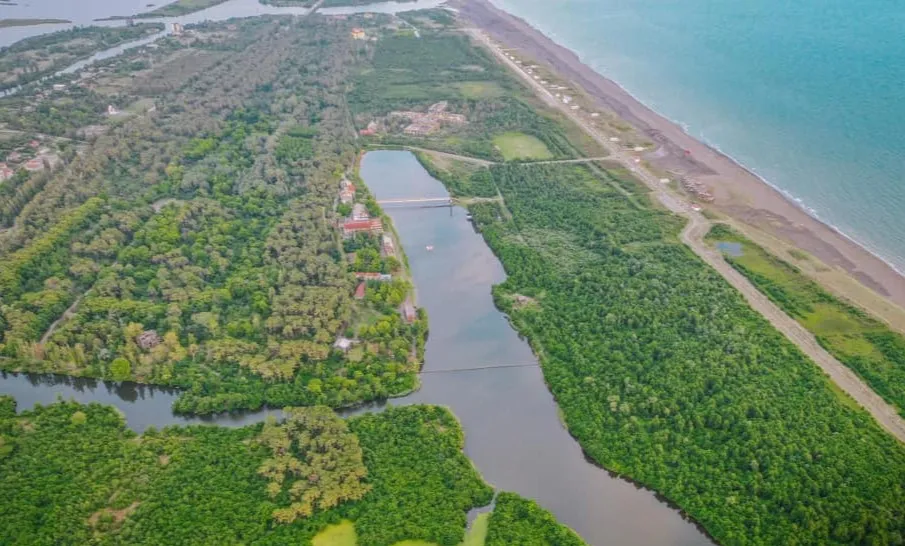
Is a flowing lake, most of which is located in Samegrelo, near the city of Poti, although its western part is included in the Guria region and is on the territory of the Lanchkhuti municipality. The lake is part of the Kolkheti National Park, which offers tourists boating routes to better explore the lake. The surface area of the lake is 18.2 km². The basin area is 547 km², the maximum depth is 3.2, the average depth is 2.6 m. The water volume is 52 million. m³. It is located 0.3 m below sea level. It is fed by rainwater and tributaries. The Pichori River flows into the lake, the Kaparchina River flows out and joins the Black Sea.
Lake Paliatomi is the third largest lake in Georgia (after Lakes Paravni and Kartsakhi). At the same time, it is the lowest lake in Georgia and is rich in fish. This place is unique for bird watching. The lake is one of the main stopping and wintering grounds for migratory birds.
Paliastomi Lake is separated from the Black Sea by a 2-kilometer-wide sandbar, however, according to historical sources, it used to be a bay of the Black Sea. In 1924, a canal was dug out from the southwestern shore of the lake and connected directly to the sea. In December 1933, a strong storm widened the channel and created a strait, turning the water brackish.Before the water was desalinated, the lake was home to more than four dozen species of fish.
Kolkheti National Park — a national park on the Black Sea coast, on the banks of Lake Paliastomi. It is bordered by the Etseri River to the east, and the Pichori River to the south.
The national park is located on the territory of 5 administrative districts – Zugdidi, Khobi, Senaki, Abasha and Lanchkhuti, and is part of two historical regions of Georgia – Samegrelo and Guria.
The park’s goal is to protect the entire complex of relict wild flora and fauna characteristic of the Kolkheti Lowland. The reserve is of great scientific, research and historical importance. Various types of landscapes, separate ecosystems and coenoses are represented here. Its total area is 44308.5 ha, of which the sea area accounts for 15276 ha.
Kolkheti National Park belongs to the second category of protected areas of the IUSN. Since 1997, it has been protected by the Ramsar Convention, an intergovernmental agreement aimed at protecting areas suitable for the habitation of migratory, wading and wading birds.
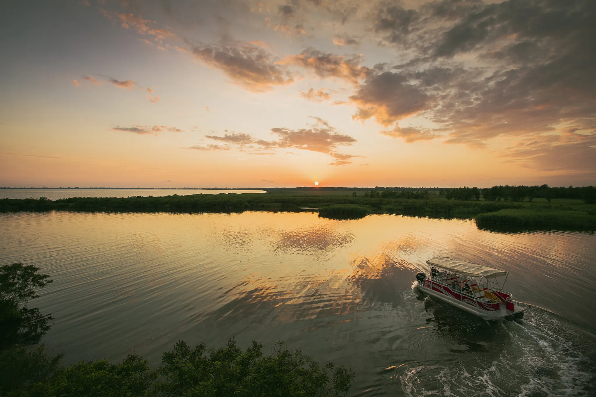
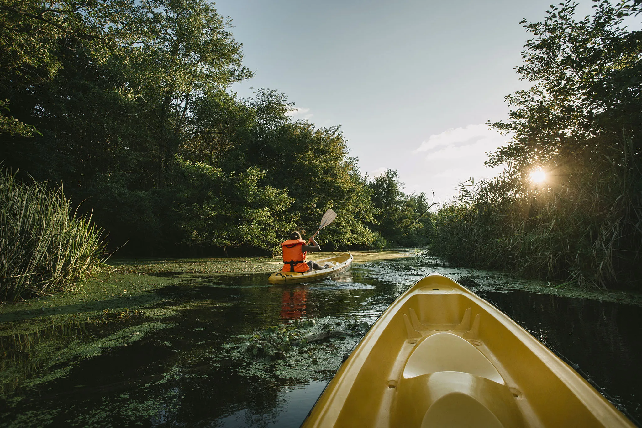
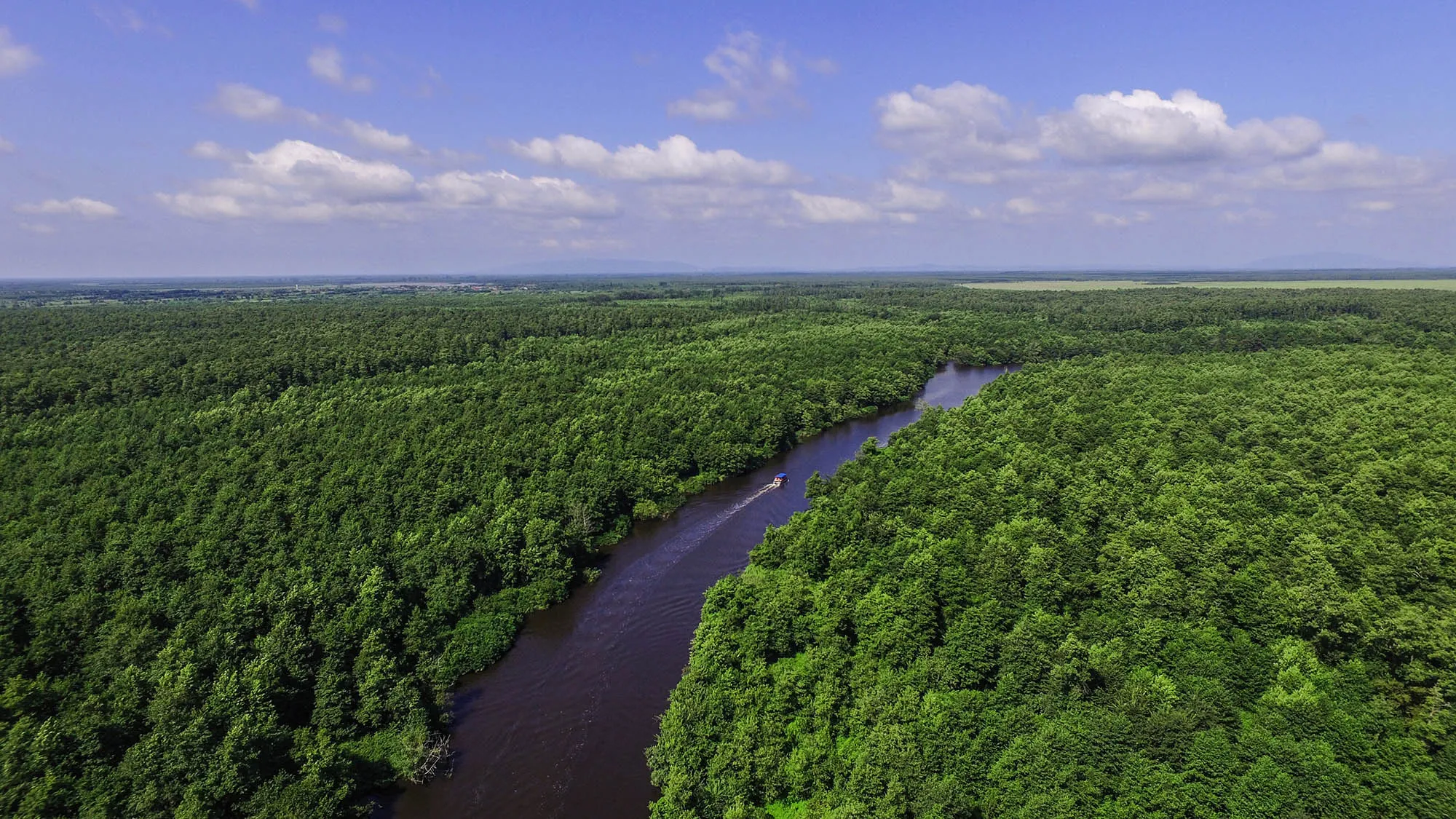
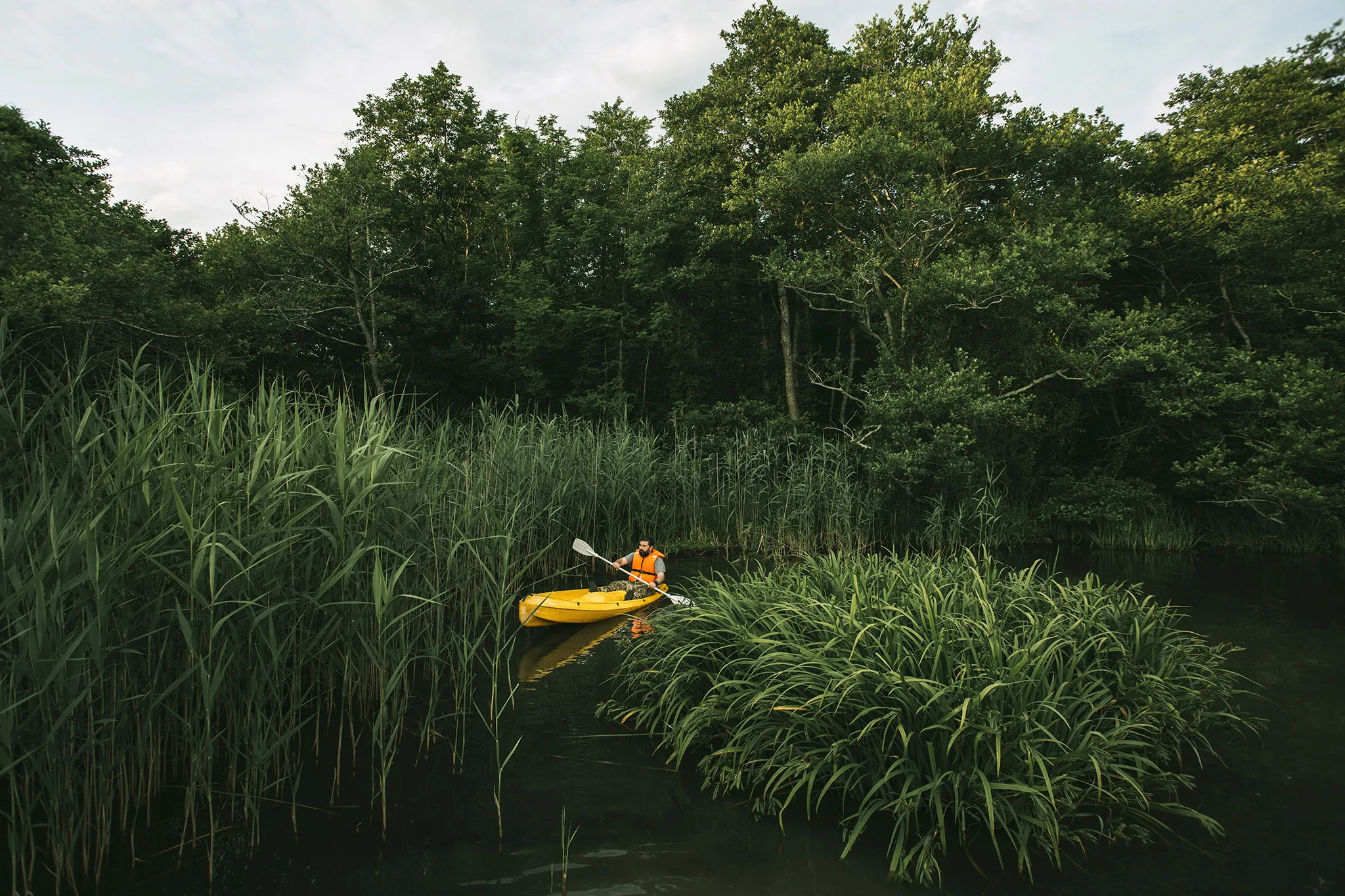
Kolkheti National Park can be visited at any time of the year. You can plan a boat, motorboat, pontoon and kayak trip along the Mdinereri, Churia and Pichori gorges, as well as on Paliastomi and Golden Lake, and then visit the Colchian forest and unique wetlands. In the Kolkheti National Park, observation towers have been set up to observe more than 100 different species of migratory birds.Of particular interest in the park are Lake Paliastomi, the Black Sea, unique wetlands and the Colchian forest.
Kolkheti National Park Administration and Visitor Center – One of the branches of the Visitor Center is located in the city of Poti, visitors will have the opportunity to use various services, including getting acquainted with local flora and fauna samples, receiving information about the park’s biodiversity, ecosystem and landscapes. The Visitor Center also has an exhibition hall.
For those who want to take a boat ride on a lake or river, unforgettable impressions await you in Kolkheti National Park.
View on map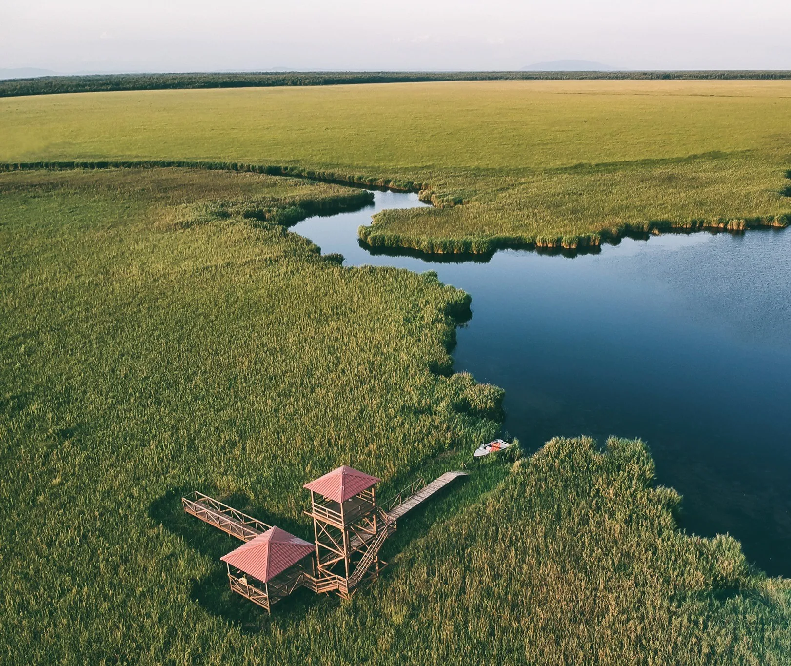
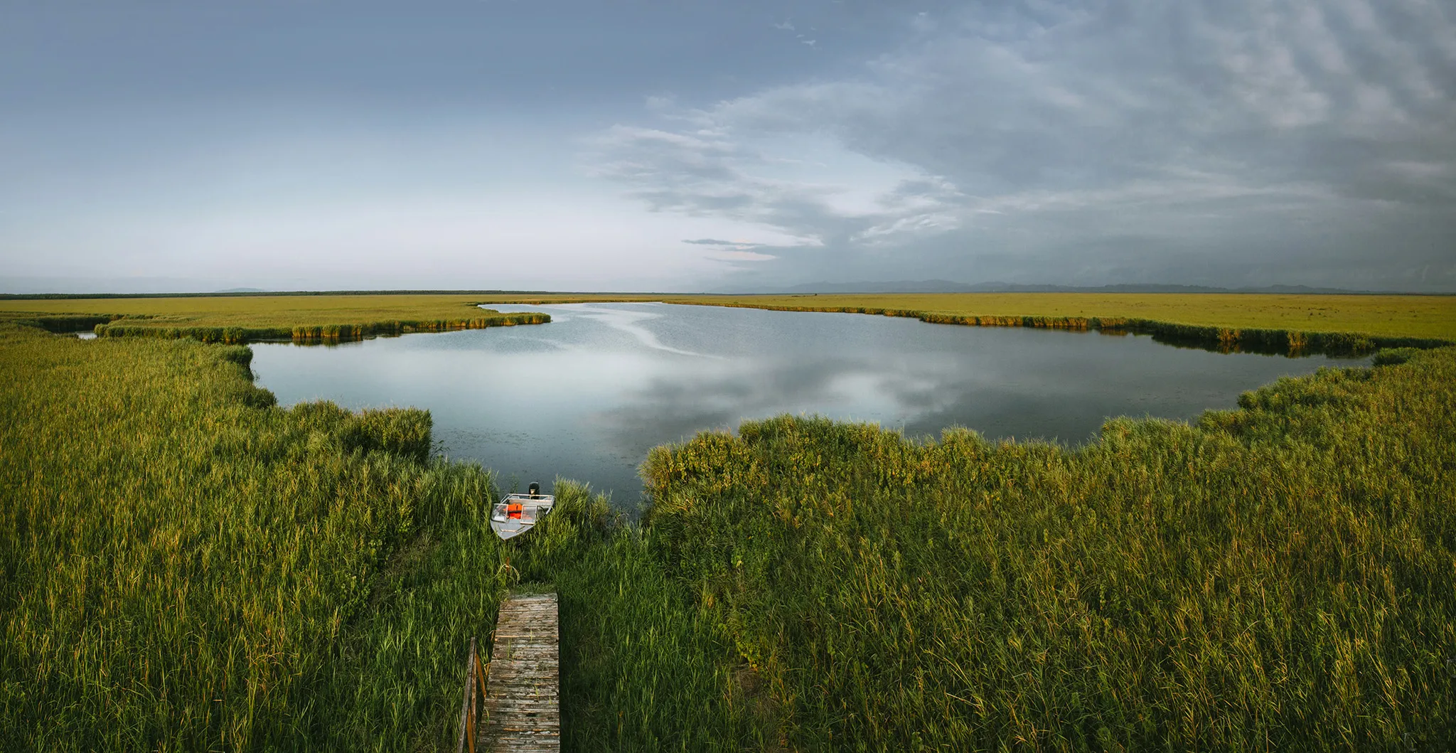
Zugdidi Municipality
Zugdidi is a municipality located in the Samegrelo-Zemo Svaneti region. Its territory has been inhabited since ancient times. There are many settlements here from the Early Bronze Age (third millennium BC). During the Hellenistic period, an important trade route passed through the territory of modern Zugdidi municipality, and trade goods were transported throughout the Hellenistic world.
Zugdidi was first mentioned in written sources by the monk Egnatashvili in 1572. According to scholars, Zugdidi, Zugdidi, Zugidi – in Megrelian means a large hill. This was the name of the hill, which was later called Mantskhvarkarish Sukia (the hill of the Savior’s Gate), whose name was later given to the city built there.
The city of Zugdidi, the administrative center of today’s Zugdidi municipality, was an important city in ancient Georgia. During the reign of Levan II Dadiani, the Principality of Odishi was the strongest among the kingdoms of Western Georgia. Zugdidi, as the seat of this principality, turned into a rather important city. The Zugdidi municipality, with its ancient history, is distinguished by its beautiful nature and important cultural monuments. Here you will find ancient settlements, historical fortresses and medieval temples.
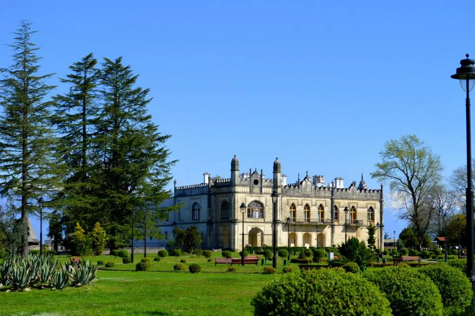
The most famous landmark of Zugdidi is the Dadiani Palace, which impresses the visitor with its architecture and exhibits. Around the palace is a botanical garden planted by the Dadiani, where many species of plants grow.
Dadiani Palace
Was the residence of the Samegrelo princes, the Dadiani. It was built by the prince of Odishi – Levan II Dadiani, in the 17th century. It is located in the center of the city of Zugdidi.
Dadiani Palace is currently a state historical and ethnographic museum. It is located in the Samegrelo palace complex (the Queen’s Palace, the Nikoseuli Palace, the Matriarch’s Temple and the decorative garden near the palace).
The Queen’s Palace was rebuilt in the 1960s by the German architect Rais, before that it was the palace of the sister of the Samegrelo prince David, Pupi. Rais built arches on the second floor and added spacious wings. The Nikoseuli Palace was built in the 1980s by the Russian architect Leonid Vasiliev. The residence is two-story, decorated with a stone balcony and the largest ballroom in Georgia. The museum was founded in April 1921 on the basis of the ancient treasures of the Samegrelo prince David Dadiani and Georgian antiquities brought from the churches and monasteries of Samegrelo.
View on map


Zugdidi Botanical Garden
Established in the 19th century by Ekaterine Chavchavadze as a decorative garden for the residence of the ruler, near the Dadiani Palace in the city of Zugdidi, Samegrelo.
The garden is home to about eighty genera of many species of trees, shrubs and plants, including six species of magnolia, various types of oak, Atlas and Himalayan cedar, Canary poplar, relict and endemic plants imported from Asia, including India, Japan, the Mediterranean, America and other places. The Zugdidi Garden took on a decorative appearance after the last ruler of Samegrelo, David Dadiani, took up its development.
Both in terms of location and climatic conditions, the Zugdidi Botanical Garden represents one of the best bases for the introduction, research, and acclimatization of valuable subtropical plants.
View on map


Zugdidi Vlakerna’s Cathedral of the Most Holy Mother of God – a Georgian cathedral built during the reign of Levan V Dadiani (1825-1830) in the city of Zugdidi, Samegrelo. The Queen’s Palace located near the cathedral, which has been the Zugdidi Historical Museum since 1921, houses relics of world importance brought here from various churches in Samegrelo to save them from destruction by the atheist government. Also located here are four large gilded icons of the cathedral. It is noteworthy that one of them is named after the Girdle of the Mother of God.
On July 2 (July 15 AD) the robe of the Virgin Mary is taken from the Dadiani House-Museum so that pilgrims can see the holy relic and worship it. Traditionally, on this day, many guests come to Zugdidi for the festive service. This day was also declared a public holiday with the blessing of His Holiness and is called “Vlachernoba”
View on map
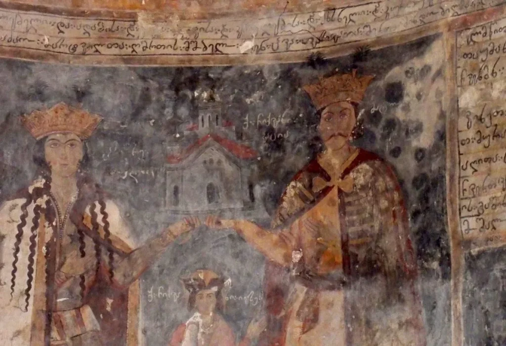
The Church of the Holy Mother of God of Kortskheli is located in the village of Kortskheli in Samegrelo, Zugdidi Municipality. It is a 10th-century monument that was restored by the ruler of Samegrelo, Levan II Dadiani, in the first half of the 17th century. The restoration of the church by Levan II Dadiani is confirmed by the fresco in the Tsalenjikha Church, where Levan II Dadiani and Queen Nestan-Darejani are depicted holding a model of the Kortskheli Church. In 1815, the church was renovated by the great judge, Didi Niko Dadiani, who is buried in the Kortskheli Church. Interesting information about the history of the church is provided by the engraved icons of different times, some of which are kept in the Dadiani Museum, and three icons are kept in the Tbilisi Art Museum. The church grounds offer magnificent views, with the mountainous and flat areas of Svaneti-Abkhazia and Samegrelo visible in the distance, the vast territory of the Colchis lowland and the Black Sea.
The church is a stone domed building with three splayed apses. The church has a stoa built on the west side. The dome rests on the walls of the sanctuary and two pillars. The facades are faced with small stone squares. There are three entrances: from the west, south and north. All three entrances are arched. There are three narrow windows in the north and east walls, and one in the south. The facades are plain, the only decorative element is a simple profile lavgardenia. The interior of the church was completely painted, although today the frescoes have survived only on the altar and the west wall. To the west of the church stands a two-story tower, built of well-hewn square stones on limestone. The church is surrounded by a wall built of red stone.
View on map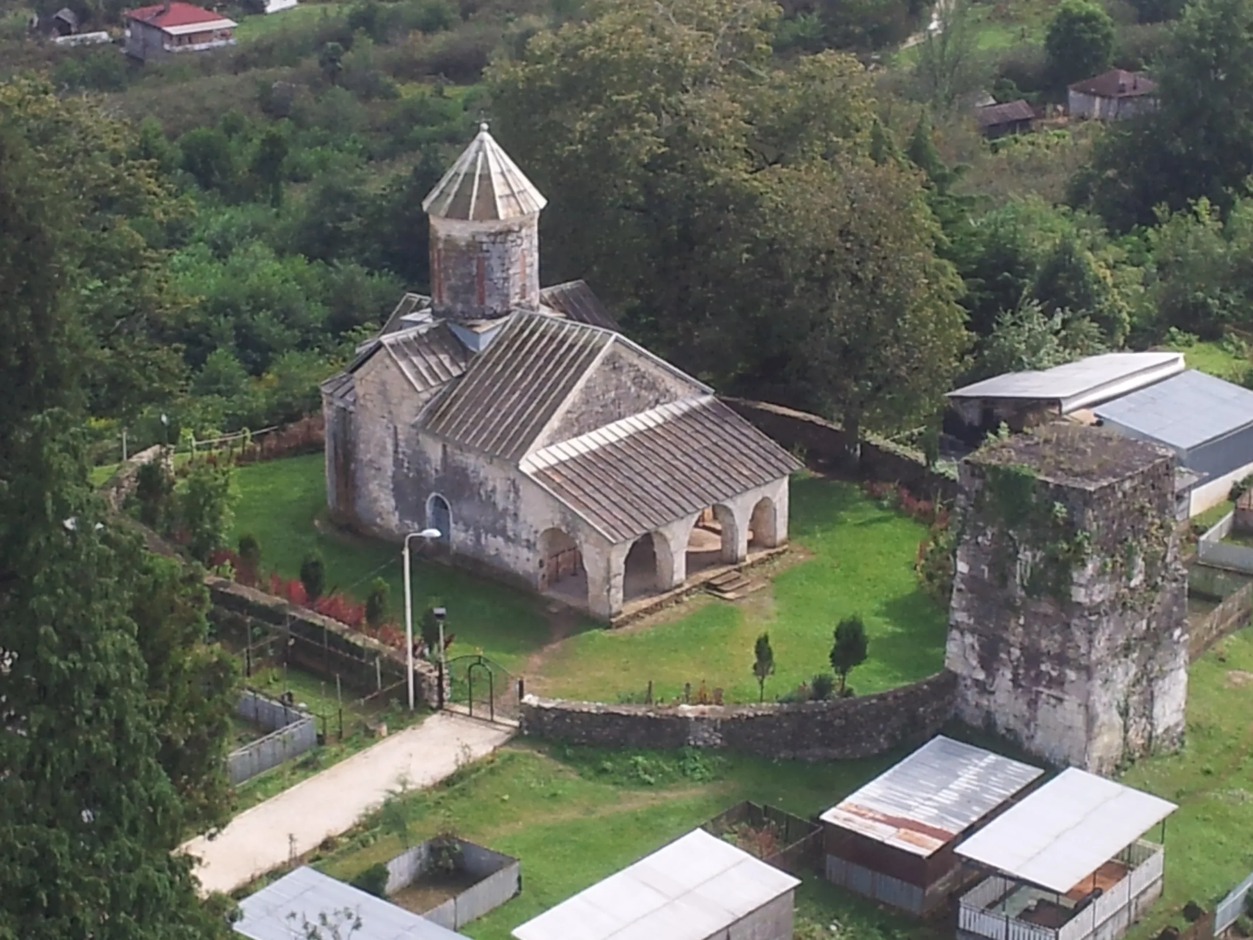
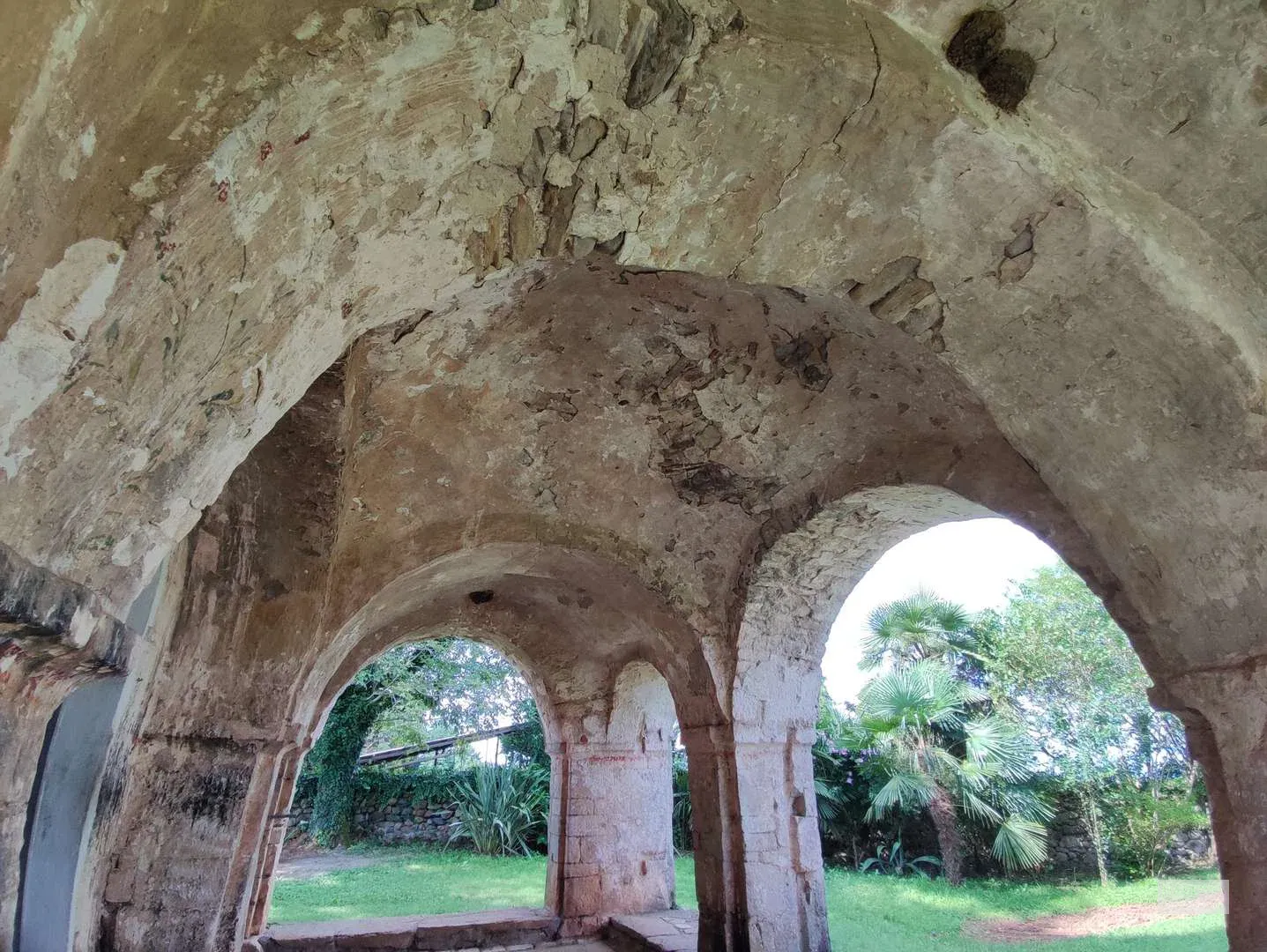

Tsaishi Village & Cathedral
Tsaishi – a village, a balneological resort in the Zugdidi municipality of Samegrelo region. It is located on the Odishi plain, on the banks of the Jumi River, 50 meters above sea level. Another attraction of Tsaishi is hyperthermal and hypothermal mineral waters, the healing properties of which were described by Vakhushti Batonishvili. The Georgian geographer Tsaishi refers to Tsaishi as a place with a beautiful location and an ancient healing spring. To date, 18 mineral springs of Tsaishi have been investigated and it has been established that the local hypothermal mineral water has a unique composition. The flora and fauna of Tsaishi are diverse. 400–600-year-old trees can be found here. One such tree is the Dzelkva, which has survived only in Japan and Georgia. There is a “Dzelkva” grove in the village.
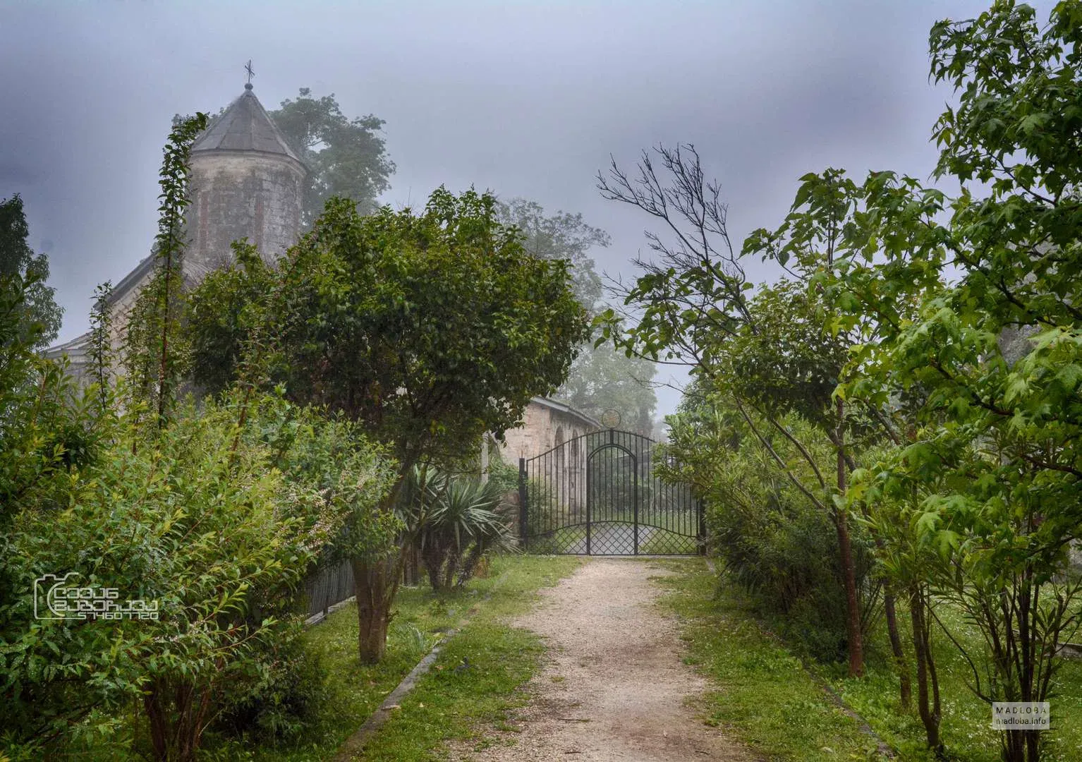
The Tsaishi Cathedral of the Assumption of the Blessed Virgin Mary is located in the Samegrelo region, in the Zugdidi municipality, in the village of Tsaisi, southwest of it. It is the cathedral of the Zugdidi and Tsaishi diocese and one of the oldest episcopal sees in Georgia. The buildings included in the Tsaishi Cathedral complex are: the Cathedral of the Virgin Mary, the ramparts, the bell tower, and the palace.
At the turn of the 6th-7th centuries, there was already an episcopal see here. The list of episcopal sees compiled between 602-610 mentions the Tsaishi diocese in Lazika. The oldest information about this episcopal see in Georgian sources dates back to the turn of the 10th-11th centuries. The Tsaishi bishopric covered the land and water between the Khobisktsali and Enguri rivers, from the sea to the Unagiri ridge. The domed church that stands today in Tsaishi was built at the turn of the 13th-14th centuries. Before that, a hall church built at the turn of the 10th-11th centuries stood here. We do not know what the earlier church was like.
The Tsaishi church, which was terribly destroyed as a result of the great earthquake of 1614, was soon restored and decorated by Bishop Malakia. Bishop Grigol, with the support of Katsia II Dadiani, was able to return the serfs and manors seized by the nobles to the church, built a bell tower and surrounded the church with a fence. In 1823, the Russian government abolished the Tsaishi bishopric along with other bishoprics of Samegrelo. After that, until 1879, there was a monastery here, and then a deanery, which included 20 churches of the Zugdidi district. Tsaishi Cathedral was a powerful center of education. There was a school near this church. One of the oldest buildings of the Tsaishi architectural complex is located outside the Galavani in its western part and is built on a slope nearby. It is called the “palace” and, judging by the interior, is dated no later than the 11th century.
View on map
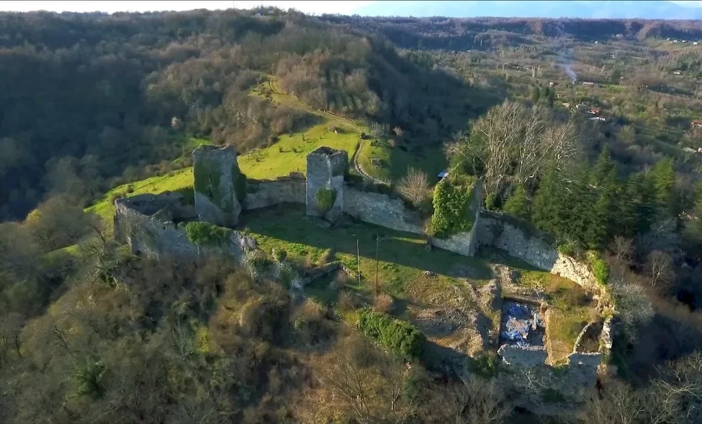
Chakvinji Fortress
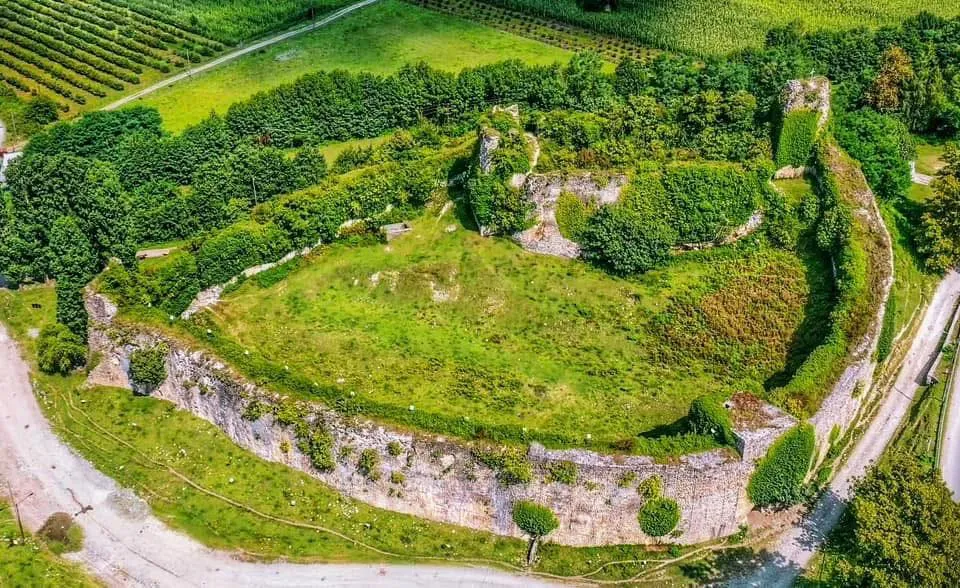
Is located in Samegrelo, in the village of Chakvinji, Zugdidi Municipality. The earliest layer of the structure dates back to the 5th-6th centuries, the subsequent layer dates back to the High Middle Ages, and the fortress was finally rebuilt in the 16th-17th centuries. In the late Middle Ages, Chakvinji Fortress was one of the residences of the Dadiani dynasty. The fortress consisted of two parts: the lower fortress and the citadel. Almost nothing has survived from the lower fortress except for the badly damaged tower. The lower fortress adjoined the citadel from the northwest. The tower was connected to the citadel by a tunnel, which was the main means of connecting the two parts of the fortress. The citadel has the outline of an elongated oval in plan. It had two entrances: one in the southwest corner, and the other in the middle of the northern wall. The southern and western sides of the citadel are a defensive wall reinforced with buttresses, while the northern and eastern walls are embedded with towers. In the middle of the eastern wall stood a three-story tower, of which only the western wall remains. On the tower, from the courtyard side, a vaulted storage building was later built, which was probably used as a Jail. Three towers are embedded in the northern wall
View on map
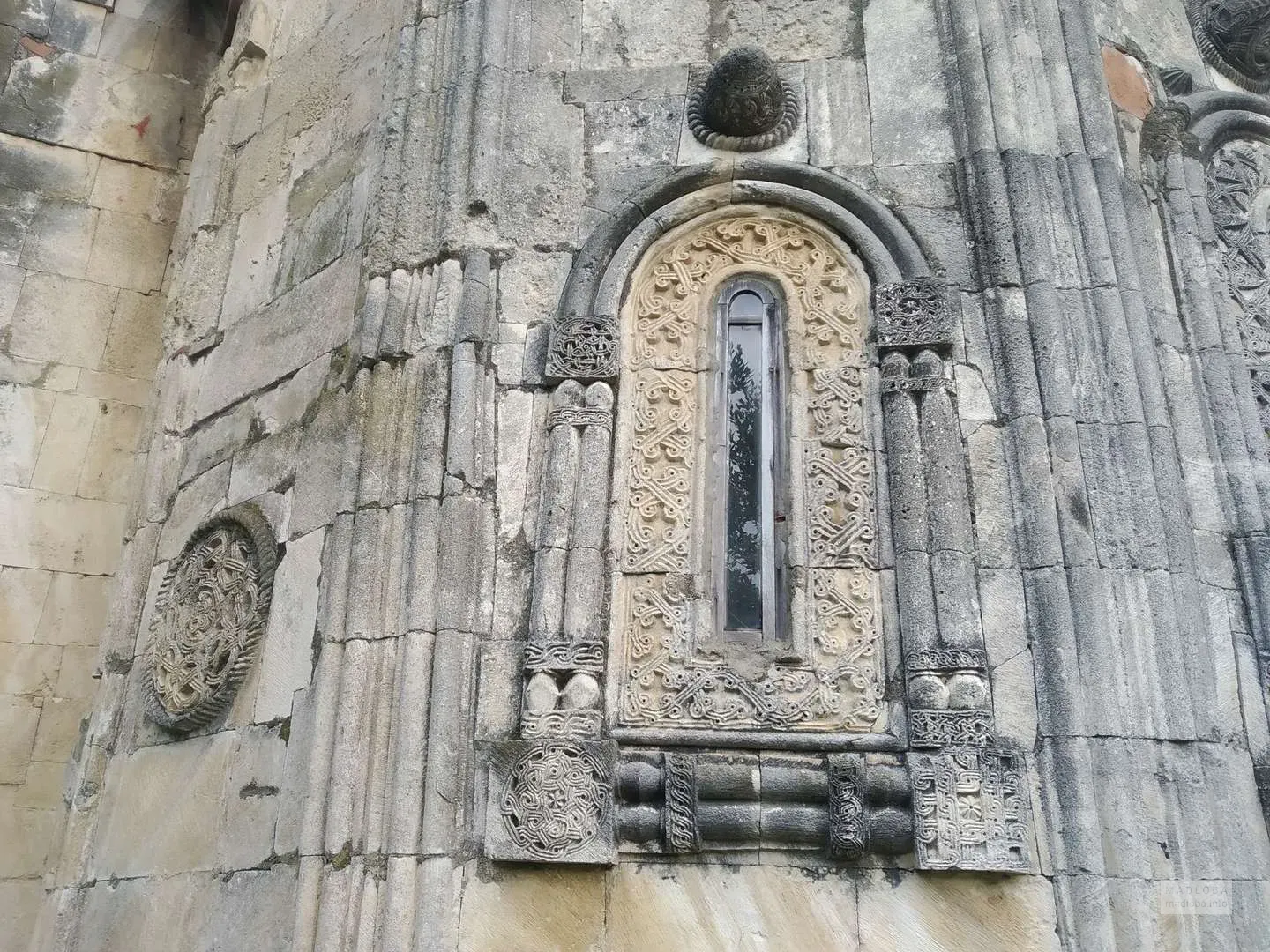
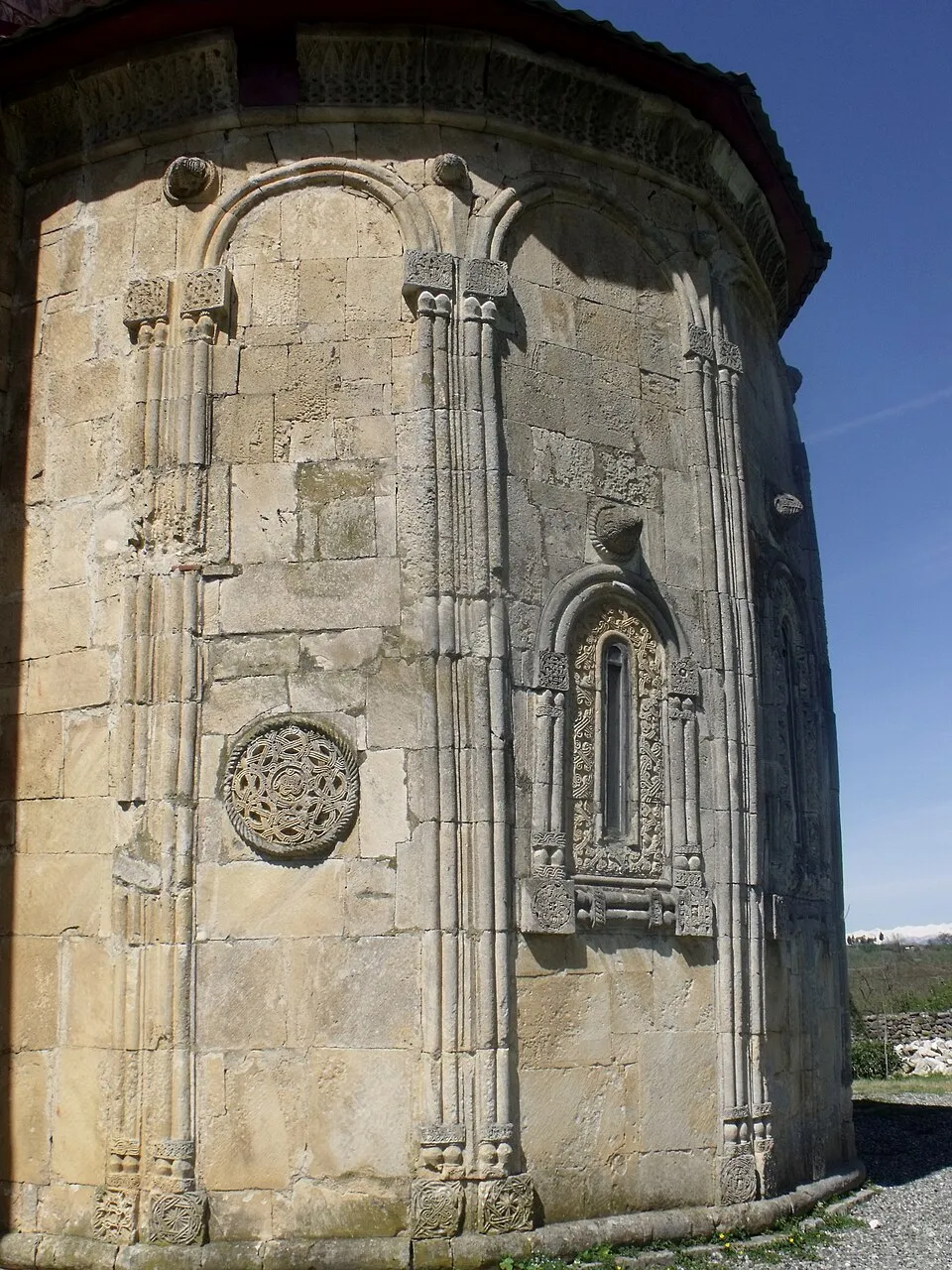
Rukhi Fortress
Is located in Samegrelo, in the village of Rukhi, Zugdidi Municipality. According to Vakhushti Bagrationi, it was built by Levan II Dadiani in 1647. Rukhi Fortress was an important and well-fortified fortification of the Principality of Samegrelo in the late Middle Ages. Its location also contributed to the defense of the fortress. The main goal of the foundation of the fortress-city was the development of trade in Samegrelo and the existence of a strong fortress in the country against the Ottomans. Several accounts of the battles fought near Rukhi Fortress have been preserved in historical sources. According to Jean Chardin, in 1672, when the Ottomans invaded Samegrelo, the commander Levan III Dadiani fortified himself in Rukhi Fortress. The Ottomans besieged the fortress, but due to the lack of artillery, they could not take the fortress and returned with many prisoners. According to Vakhushti Bagrationi, the Ottomans destroyed the Rukhi Fortress in 1725, but it was soon rebuilt. In 1769, during the Russo-Turkish War, General Totleben, with the support of the Georgian kings and princes, expelled the Ottomans from the Rukhi Fortress. The fortress lost its importance at the beginning of the 19th century. The Rukhi Fortress is a large-scale structure, the maximum internal length is 100 meters, and the width is 80 meters. Its internal territory is divided into two parts – the lower section to the south and the citadel to the north. The entrance is only in the lower courtyard, which is arranged in the lower part of the tower, about ten meters high. The lower part of the fortress is protected by another tower, which stands in the southwestern corner. The citadel is located in the northern part, its shape resembles an ellipse and the ends are fortified with towers. The main tower of the citadel is to the north, it would have been of considerable importance in the defense of the fortress. It controls a fairly large territory to the north – the mountains beyond the Enguri River and the river basin itself. Currently, only four floors and part of the fifth have survived from the tower. There are chimneys and cannons on each floor. The rampart is deaf at a height of 8-10 meters, and above it is a 3-5 meter wide battle path. The fortress is built of cobblestones. There was also a spring in the fortress, which must have been in the western corner.
View on map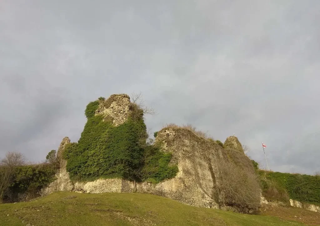

Anaklia
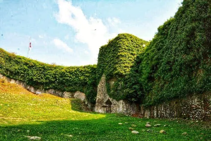
The resort of Anaklia is located in Samegrelo, Zugdidi Municipality, on the Black Sea coast, 3 meters above sea level. It is a climatic resort with a humid coastal climate. Anaklia is one of the most attractive places for lovers of sunny beaches, sea, tan and diversity. It is very popular and is visited by many tourists and locals every year. High-class hotels, aquaparks, bars and other public institutions operate in Anaklia. Anaklia has hosted an electronic music festival – GEM Fest – every year since 2015, which further increased the popularity of the resort. If you are interested in history and culture, you can visit the Anaklia Fortress, which was built in 1703. Anaklia has a long history, it was one of the colonies of the city of Heraclea in the Kingdom of Pontus. It did not lose its importance in the Middle Ages either. In the late Middle Ages, Anaklia was an important port of the Principality of Odishi and traded with Trabzon and Constantinople. Today, it is one of the most well-equipped resorts in Georgia. Developed infrastructure, colorfulness, sandy beaches, sun and the azure sea create an excellent environment for a comfortable and happy vacation.
View on map